


Topcon And GSSI Integrate Ground Penetrating Radar With GNSS Mapping Modern infrastructure projects incre ...
-
Topcon And GSSI Integrate Ground Penetrating Radar With GNSS Mapping
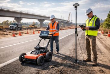
Topcon And GSSI Integrate Ground Penetrating Radar With GNSS Mapping
-
From Trenches to Digital Twins as Field Reality Capture Enters the Enterprise GIS
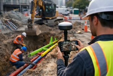
From Trenches to Digital Twins as Field Reality Capture Enters the Enterprise GIS