Velodyne Lidar and NVIDIA Metropolis partner on Intelligent Infrastructure Solutions
Velodyne Lidar, Inc. today announced it has joined the NVIDIA Metropolis program for Velodyne’s Intelligent Infrastructure Solution for traffic monitoring and analytics. NVIDIA Metropolis is designed to nurture and bring to market a new generation of applications and solutions that make the world’s most important spaces and operations safer and more efficient with advancements in AI vision.
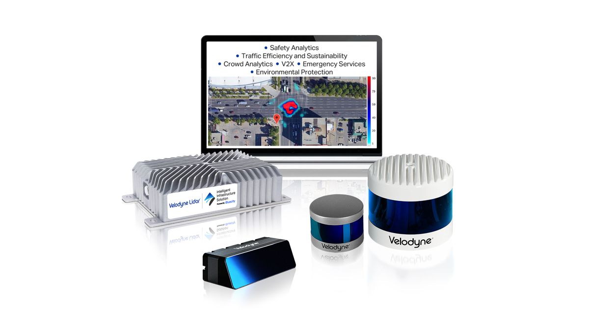
The Intelligent Infrastructure Solution combines Velodyne’s award-winning lidar sensors and powerful AI software to monitor traffic networks and public spaces. The solution addresses the pressing need for smart city systems that can help improve road safety and prevent traffic accidents. Government data showed 2020 was the deadliest year for U.S. traffic crashes in over a decade, with a 7.2 percent increase in traffic fatalities over the previous year.
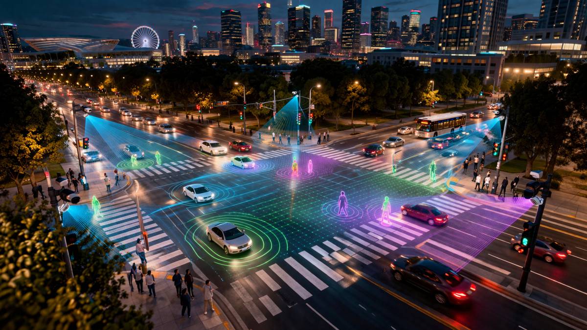
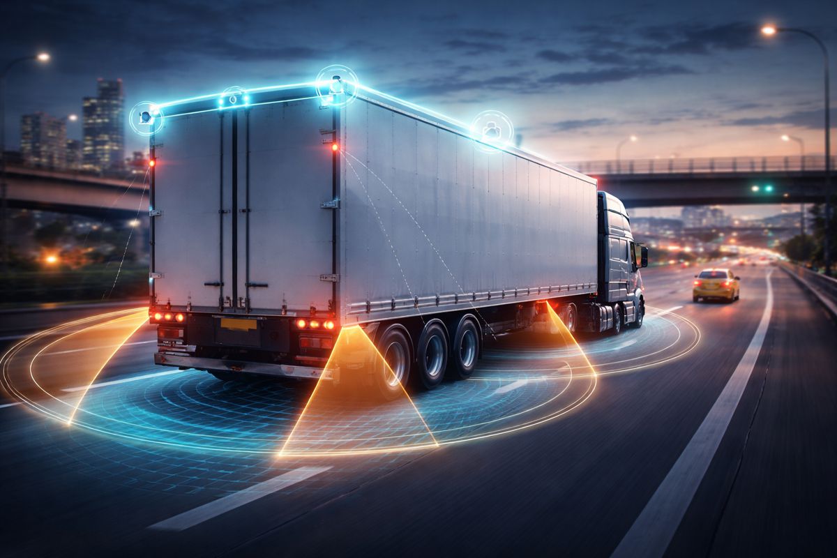
Velodyne’s solution leverages the powerful capabilities of the embedded NVIDIA Jetson AGX Xavier module in its edge AI computing system to run the solution’s proprietary 3D perception software, which can detect all road users including vehicles, pedestrians and cyclists in real time. The NVIDIA Jetson AGX Xavier provides unparalleled computing power of a GPU workstation in a compact, energy-efficient module. It powers the Intelligent Infrastructure Solution AI application to run up to 50 frames per second and process lidar frames in real time to detect, classify and extract traffic trajectory.
Being a part of NVIDIA Metropolis, Velodyne gains increased exposure to industry experts, AI-driven organizations, governments and integration partners looking to leverage world-class AI-enabled solutions to improve critical operational efficiency and safety problems. Velodyne also has early access to NVIDIA platform updates and can tap into NVIDIA’s diverse partner ecosystem to support lidar-based solution development.
New Deployment in Austin
Velodyne’s Intelligent Infrastructure Solution pilot project is set to deploy in Austin, Texas. The city will use the solution to assess traffic conditions and identify proactive safety measures that can be taken to help save lives.
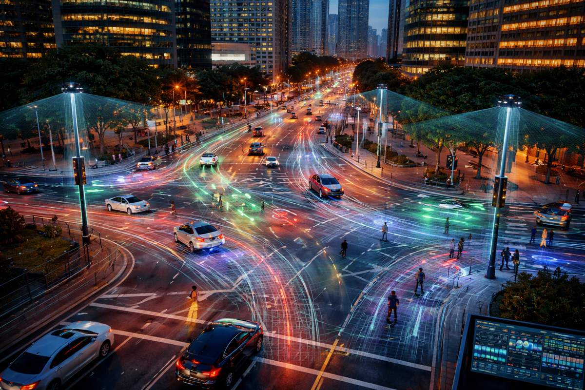
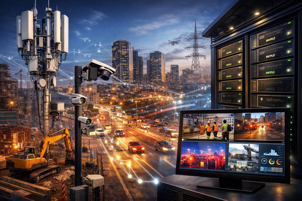
The project is using lidar-based traffic monitoring as a reliable, non-intrusive multi-modal replacement for inductive-loop detectors, cameras, and radars. Velodyne’s Intelligent Infrastructure Solution creates a real-time 3D map of roads and intersections to generate traffic data in a wide variety of lighting and weather conditions, and provide categorized monitoring data on pedestrians, cyclists, cars, and trucks.
In Austin, the first installation will be at East 7th Street & Springdale Road. This intersection has been identified as needing improvement due to the accident history, fatality risk, speeding prevalence and congestion.
“Lidar-based solutions hold tremendous potential to protect personal identifiable information while continuing to help us to achieve our Vision Zero goal to eliminate traffic deaths and serious injuries on Austin streets,” said Jason JonMichael, Assistant Director, Austin Transportation Department. “Velodyne Lidar’s Intelligent Infrastructure Solution could enable us to more efficiently collect and analyze the mobility that is needed to improve roadway efficiency and safety.”
“It is great to be working with the city of Austin on innovation initiatives that will certainly transform roadways into smarter, safer infrastructure for the community,” said Jon Barad, Vice President of Business Development, Velodyne Lidar. “Partnering with NVIDIA Metropolis allows us to help Austin and other communities address road safety challenges and improve traffic efficiency and sustainability.”
Velodyne’s Solution Enables Smart Infrastructure
Velodyne’s Intelligent Infrastructure Solution creates a real-time 3D map of roads and intersections, providing precise traffic monitoring and analytics that is not possible with other types of sensors like cameras or radar.
It reliably collects data in any lighting or weather condition, supporting year-round operation, while also protecting people’s privacy. The solution advances safety through multimodal analytics that detect various road users including vehicles, pedestrians, and cyclists. It can predict, diagnose, and address road safety challenges, helping municipalities and other customers make informed decisions to take corrective action.
After purchasing a set-up bundle that includes the software and sensors, customers will pay Velodyne a system access fee for the recurring monitoring and analytics.