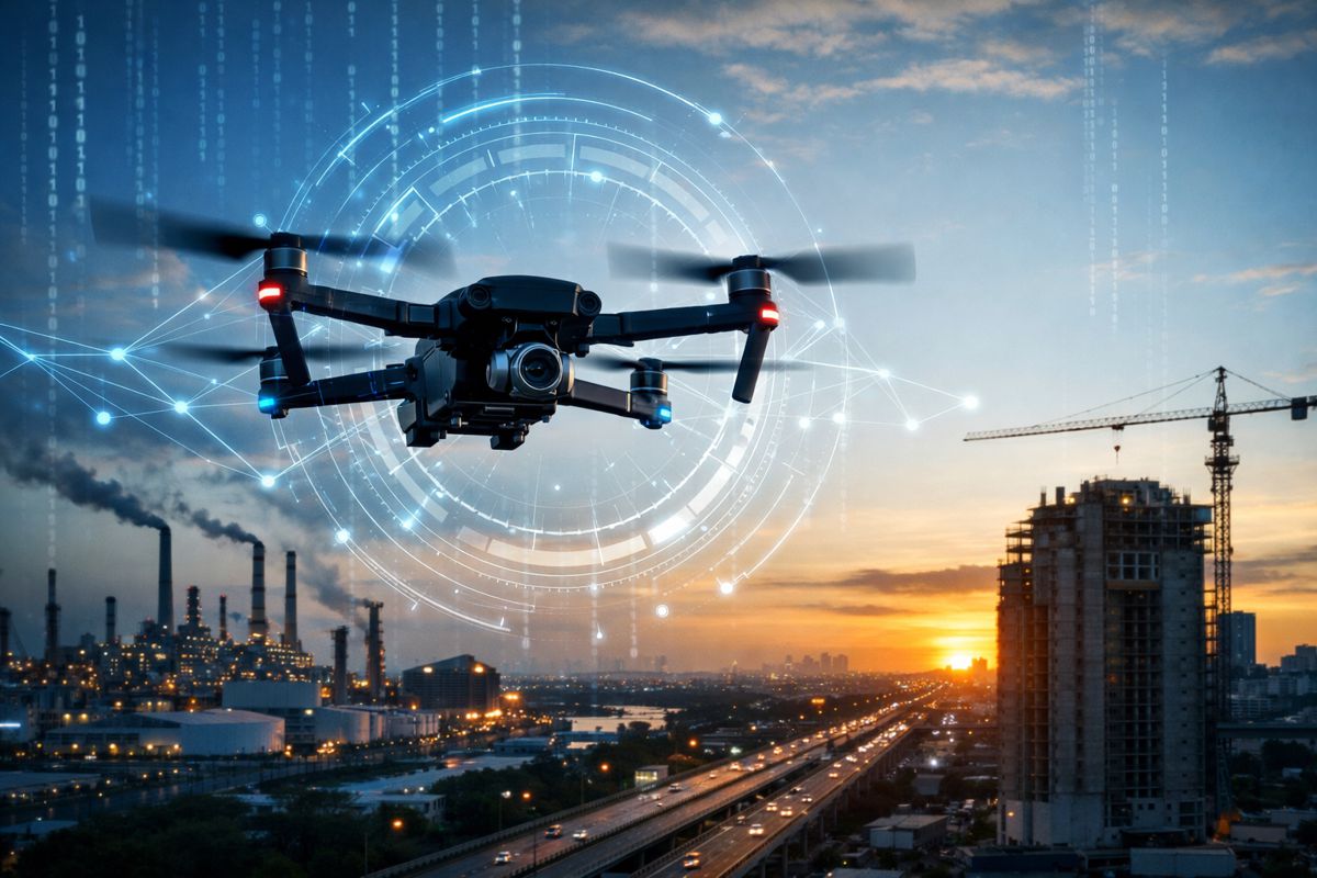
Smarter Farming with Autonomous Drones for Precision Agriculture
The convergence of automation, artificial intelligence and precision positioning is quietly reshaping how large-scale agriculture operates. In a sector where margins are tight and timing is everything, even incremental gains in efficiency can translate into significant financial and environmental returns.
The formation of GEODASH Aerosystems Pte. Ltd., a joint venture between DroneDash Technologies and GEODNET, signals a notable shift in how aerial crop management systems are designed and deployed.
Rather than refining existing drone workflows, the collaboration introduces a fundamentally different operating model. By combining real-time AI vision with centimetre-level RTK positioning, the platform removes one of the most persistent inefficiencies in agricultural drone operations: the need for repeated field mapping before every mission. In doing so, it moves drone technology from a semi-automated tool into something closer to a continuously adaptive system, capable of responding to field conditions as they evolve.
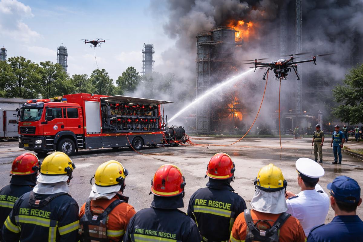
That distinction matters far beyond agriculture. For infrastructure professionals, land developers and policymakers, the same technologies underpinning these drones are increasingly relevant across surveying, environmental monitoring and large-scale asset management. What is being developed for plantations today could well influence how infrastructure projects are monitored and maintained tomorrow.
Briefing
- GEODASH Aerosystems introduces an AI-driven agricultural drone platform that eliminates pre-mapping workflows
- Integration of real-time vision systems with RTK positioning enables centimetre-level accuracy during live operations
- The system generates continuous agronomic data, turning each flight into a data acquisition mission
- Target markets include large-scale plantations in Southeast Asia, the Americas and other industrial farming regions
- Commercial rollout is planned for Q3 2026 following pilot deployments and regulatory approvals
Breaking Away from Static Drone Workflows
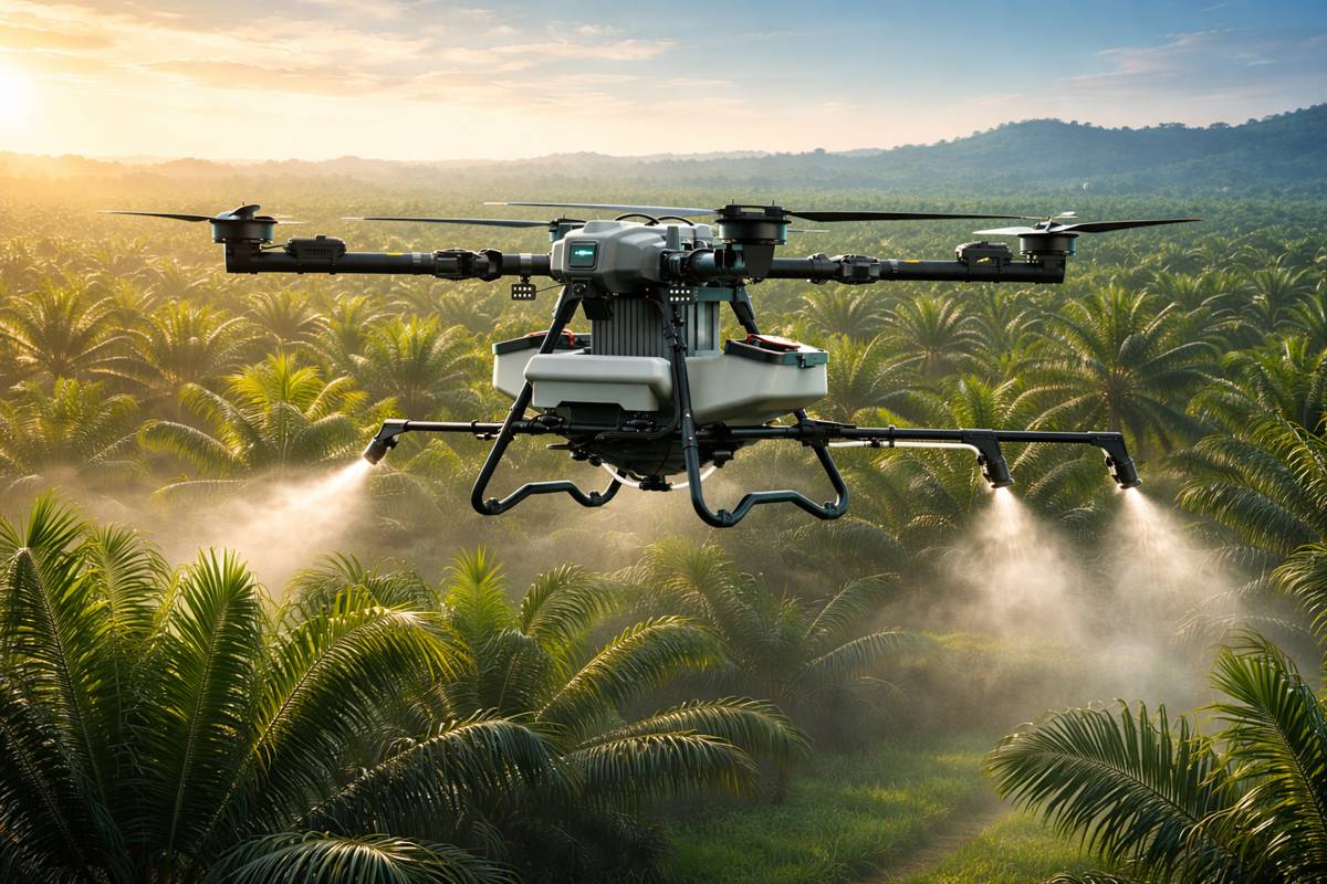
Most agricultural spraying drones in operation today still follow a surprisingly rigid process. Before a single drop of crop protection product is applied, operators must survey the land, map field boundaries, and generate flight paths. These steps are repeated whenever anything changes, whether that is crop growth, terrain shifts, or replanting cycles.
In small fields, the inefficiencies are manageable. In industrial-scale plantations, they become a bottleneck. Oil palm estates, for example, can span thousands of hectares with varying canopy heights and mixed-age crops. Each adjustment requires a fresh mapping cycle, slowing down deployment and limiting how quickly operators can respond to emerging threats such as pests or disease.
This reliance on static planning reflects the origins of many agricultural drones, which were adapted from general-purpose UAV platforms rather than purpose-built for dynamic farming environments. As a result, they struggle to cope with variability, something that defines real-world agriculture. The GEODASH approach seeks to remove that constraint entirely by shifting intelligence from pre-flight preparation to in-flight decision-making.
Real-Time Intelligence in the Air
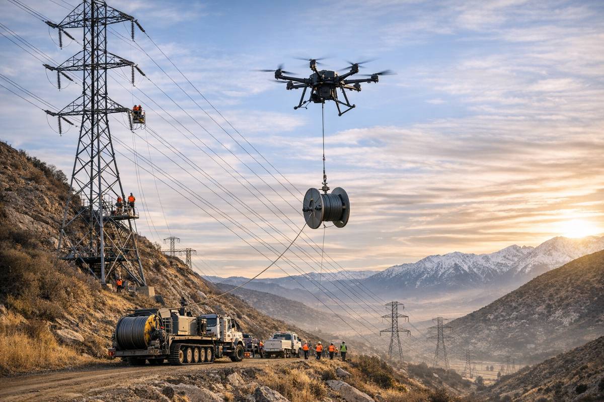
At the core of the new platform is a combination of AI-based visual perception and high-precision positioning. Instead of following a pre-defined route, the drone interprets its surroundings as it flies, identifying crop rows, canopy density and terrain features in real time. This allows it to adjust altitude, speed and spray rates dynamically.
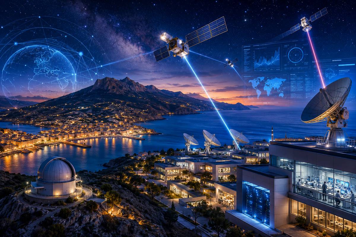
The role of Real Time Kinematic positioning is central here. RTK systems use correction signals from ground-based reference stations to refine satellite positioning data, achieving accuracy within a few centimetres. In practical terms, that level of precision allows drones to operate consistently across large areas without drift, even in complex environments.
Combined with onboard AI vision, the system creates a feedback loop where perception and positioning reinforce each other. The drone knows where it is with high precision and understands what it is seeing. That combination enables:
- Deployment without pre-mapping or manual surveys
- Continuous adaptation to terrain and canopy variations
- Variable-rate spraying at tree or zone level
- Rapid redeployment after field changes
For large operators, this translates into fewer delays and more predictable operations. It also reduces reliance on skilled manual mapping, which can be a limiting factor in regions facing labour shortages.
From Spraying Tool to Data Platform
Perhaps the most significant shift lies not in how the drone sprays, but in what it learns while doing so. Each mission feeds into an AI-driven backend that transforms operational data into agronomic insights. This effectively turns every flight into a data collection exercise.
The system captures information on canopy density, crop health indicators, terrain conditions and spray effectiveness. Over time, this builds a historical dataset that can be analysed to identify trends and optimise decision-making. Plantation managers can use these insights to adjust fertilisation schedules, detect early signs of disease, or pinpoint underperforming zones.
Paul Yam, CEO, DroneDash Technologies and GEODASH Aerosystems, said: “Agriculture does not need bigger drones, it needs smarter ones. By removing repeated manual pre-mapping and integrating AI Smart Farming intelligence into every flight, we are turning spraying drones into tools that both execute operations and inform agronomic decisions. Plantation operators can move faster while improving consistency, efficiency, and outcomes.”
This integration of operations and analytics reflects a broader trend across industries, where equipment is increasingly expected to generate actionable data rather than simply perform a task. In construction, similar principles are already being applied through connected machinery and digital twins.
Precision Positioning as Infrastructure
The involvement of GEODNET highlights another important dimension: positioning infrastructure. While GNSS has long been used in agriculture and construction, decentralised RTK networks represent a newer model. By leveraging distributed reference stations, these networks can provide high-accuracy corrections at scale without relying solely on traditional infrastructure.
Mike Horton, Founder, GEODNET and Co-Founder, GEODASH Aerosystems, said: “When centimetre-level RTK positioning is combined with real-time perception and backend analytics, autonomy becomes predictable and reliable. GEODASH Aerosystems demonstrates how precision positioning infrastructure can enable both accurate operations and continuous data-driven agriculture management.”
For infrastructure stakeholders, this raises interesting possibilities. High-precision positioning is becoming a foundational layer for autonomous systems, from drones to construction equipment and even autonomous vehicles. As these networks expand, they could support a wide range of applications beyond agriculture, including surveying, asset inspection and logistics.
Scaling Across Global Agricultural Markets
The joint venture is targeting regions where scale and complexity demand more advanced solutions. Southeast Asia’s oil palm plantations, the vast row-crop operations of the United States, and large estates in South America all present challenges that traditional drone systems struggle to address.
In these environments, the ability to deploy quickly and adapt on the fly is particularly valuable. Weather windows can be short, and delays in spraying can have direct impacts on yield. By eliminating pre-mapping and enabling real-time adjustments, the GEODASH system aims to increase operational responsiveness.
Pilot deployments conducted throughout 2025 and early 2026 have focused on validating the technology under real-world conditions. These trials are critical, as large-scale agriculture presents a wide range of variables, from uneven terrain to varying crop densities. Early indications suggest that dynamic systems can maintain performance across these conditions, although full commercial validation will depend on broader deployment.
Implications for Construction and Infrastructure
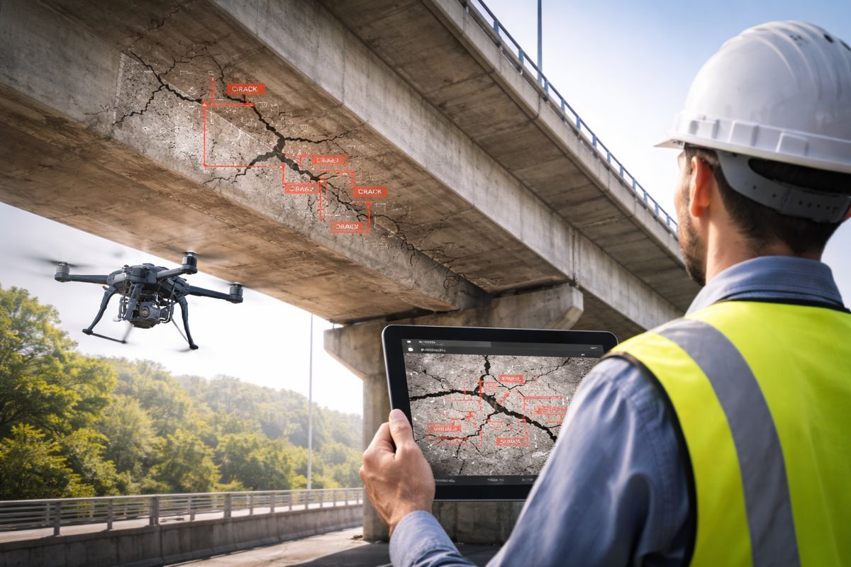
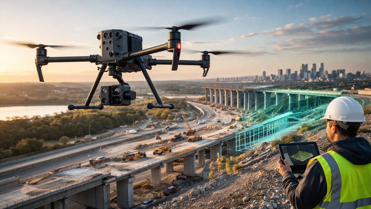
While the immediate application is agricultural, the underlying technologies have clear relevance for the construction and infrastructure sectors. Real-time perception, high-precision positioning and AI-driven analytics are already being explored in areas such as site monitoring, earthworks optimisation and asset inspection.
Drones capable of interpreting their environment without pre-mapping could streamline surveying processes, particularly in dynamic or hazardous environments. Similarly, the integration of operational data with analytics platforms aligns with the growing adoption of digital twins and predictive maintenance systems.
For policymakers, the development also highlights the importance of regulatory frameworks that can accommodate increasingly autonomous systems. Ensuring safe and compliant operations while enabling innovation will be a key balancing act as these technologies mature.
Moving Towards Commercial Deployment
GEODASH Aerosystems is working towards a commercial launch in the third quarter of 2026, pending manufacturing readiness and regulatory approvals. The timeline reflects both the complexity of the technology and the need to ensure reliability at scale.
As with any emerging system, adoption will depend on demonstrable value. Operators will be looking for clear evidence of cost savings, efficiency gains and improved crop outcomes. If the platform delivers on those fronts, it could accelerate the shift towards more autonomous and data-driven farming practices.
At the same time, the collaboration between DroneDash Technologies and GEODNET illustrates how partnerships are becoming essential in developing complex systems. Combining expertise in AI, drone operations and positioning infrastructure creates a more integrated solution than any single company could deliver alone.
In a sector often characterised by incremental change, the move towards fully adaptive aerial systems stands out. It suggests that the next phase of precision agriculture will be defined not just by better tools, but by smarter systems that learn, adapt and inform decisions in real time.