RedTail LiDAR RTL-400 drone delivers the 3 keys to successfully penetrate canopies
Summer is here and with it comes the challenge of creating accurate topographic maps under tree canopies. The adoption of drone based, 3D light detection and ranging – or LiDAR– is emerging as the “go-to” sensing technique to meet this challenge consistently, safely, and cost effectively.
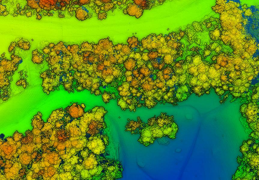
The RedTail Lidar System’s team recently partnered with the West Virginia Department of Environmental Protection (WVDEP) Division of Mining and Reclamation to demonstrate the RTL-400’s ability to generate an accurate digital terrain model (DTM) under “leaf on” conditions, which is challenging as pulsed laser light needs to reach the ground to generate laser light ground returns.
One mission of the WVDEP Division of Mining and Reclamation is to assure compliance with the West Virginia Surface Mining and Reclamation Act and other applicable state laws. This is a task requiring ongoing monitoring, mapping, and assessment of sites across the state that are actively being reclaimed.
Currently utilizing photogrammetry to generate point clouds, the WVDEP was unable to create the accurate, under canopy DTMs that they desired. Looking for an alternate method, they began to consider LiDAR. The RedTail LiDAR team met up with WVDEP representatives at a mine reclamation site in a remote area of south-central West Virginia. The terrain was a mixture of rolling hillside covered with grasses, brush and tree stands.
The RTL-400 demonstration flight mapped approximately 20 acres of the reclamation site in 12 minutes, flying at an altitude of 196 ft and a speed of 18 mph. Once the data was collected, a DTM was created revealing the RTL-400’s ability to generate the high-resolution, high-density point cloud needed to accurately map the terrain beneath the tree.
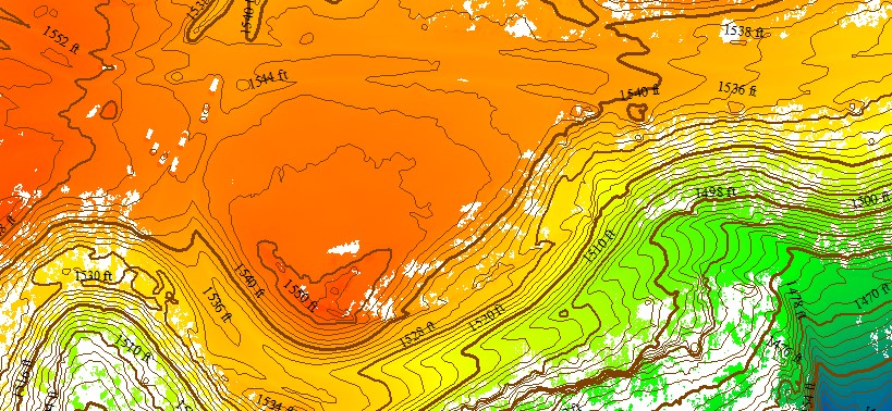
The RTL-400 delivered all 3 key elements needed to provide DTMs in foliated areas: a small beam divergence of 0.5 milliradians (.03 degrees) with a spot size of just 2” diameter at the canopy cover; the ability to analyse up to five returns from every transmitted pulse so that returns from the ground can be received and processed, and for the WVDEP flight, a pulse density of 800 pulses in every square meter of the canopy.
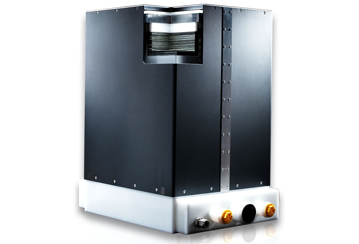
Designed specifically for use on small drones, the RTL-400 was developed with technology licensed from the U.S. Army Research Laboratory (ARL) and designed to provide high-resolution 3D images of objects on the ground, flying at an altitude of up to 400 ft.
RedTail LiDAR Systems is a division of 4D Tech Solutions, Inc., a company focused on providing innovative technology-based solutions to address government and commercial customer needs. RedTail LiDAR System’s in-house technical expertise – coupled with a full suite of software and hardware design and manufacturing tools – allows them to develop custom LiDAR solutions for manned and unmanned vehicle applications. 4D Tech Solutions, Inc. is a Service-Disabled Veteran-Owned, HUBZone-certified small business.