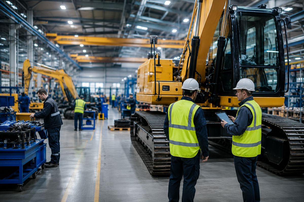
Evidence-backed Decision Making for Road Authorities
According to the Institute for Government report “How governments use evidence to make transport policy”, the Department for Transport (DfT) is planning a major programme that will see reform of bus services, reviews of walking and cycling infrastructure, and a £60 billion capital investment up to 2025.
Notably, it highlights how government programmes will fail “unless policy makers – ministers, civil servants and other public officials – get better at identifying and deploying evidence to inform their decisions”.
Even more important though, is the quality of that evidence. Even with today’s wealth of modern technology, the many data sources that transport decisions are based on can still be fragmented, incomplete and not comparable.
When transport schemes fail to get through consultation, or even worse, when they don’t deliver after they’ve been implemented, data quality is a common factor. Poor quality, aggregated or inaccurate information can be easily dismissed by strength of opinion or anecdotal points of view. This is the reality, but it doesn’t need to be the case.
If investments into schemes are to deliver against climate, road safety and regeneration challenges, it is vital that decisions are based on comprehensive, quality and reliable data that is easily accessed, compatible to share and feed into other systems.
By using accurate, deep insights, which monitor the ‘before, during and after’, high confidence data can be used as empirical evidence. But to properly deal with anecdotal and subjective concerns about aspects like road safety, we need accurate information that goes beyond counting and classifying and instead analyses interactions between modes, changes in speeds, how one mode’s behaviour affects another. Ultimately, we need data that provides a scientific evidence base for making the right decisions and evidencing their impacts.
This kind of data and evidence is critical for a number of reasons.
Baseline for more effective planning
Understand the current picture and be able to set realistic goals for improvement. For example, as part of its plan to create a better and more sustainable transport infrastructure, Dorset Council has started collecting data on cyclist, pedestrian and traffic usage and trends in the area.
This baseline data will then be used to measure changes in behaviour and modal shift following the implementation of active travel focused schemes. These schemes will include new cycleways, walking routes and bus improvements, along with new crossings and wayfinding totems. In turn, this will make it easier and safer for people to make more sustainable and healthier travel choices.
Monitor long-term data
See the immediate and long-term effects of changes to understand trends over time. Decision makers are constantly in need of data to monitor current network usage and adapt to changing numbers of travellers, habits and trends. So far, short-term traffic surveys have been the dominant method employed to gather this insight and deliver snapshots of activity at certain times, jumping from event to event.
However, behaviours change over time and patterns form in reaction to events and constantly evolve – a snapshot of two weeks is therefore only good for providing an indicative benchmark.
In order to harness meaningful, accurate and valuable information, we need to collect a continuous stream of data over much longer periods of time. This makes it possible to monitor seasonal effects, create a reduction of temporal anomalies, and observe overarching trends.
Assessment
Ability to compare the before and after to assess if goals have been reached and if not, why not. A good example of this comes from the London Borough of Hounslow. As part of the Liveable Neighbourhoods initiatives, the Council wanted to create safer spaces for active travel, reduce congestion and air pollution, and prevent rat-running along residential streets.
In 2021, Hounslow launched the Streetspace Programme. The scheme saw the installation of sensors in strategic locations of the Borough to allow monitoring of traffic and road usage. As data collection continues throughout this year, by using baseline and post-implementation data insights, the Borough will be able to understand how these interventions are performing and if objectives are being achieved.
Communication
Using evidence to communicate to citizens and other stakeholders. This is the objective basis for making changes and outlining the subsequent results. As we have seen in the case of the London Borough of Hounslow, data gathering plays a key role in tracking the progress of urban initiatives.
However, data-led insights also have an additional benefit: because they can help demonstrate the effectiveness of the interventions and how travel habits of residents in the immediate area have been impacted, they are essential tools for councils to use to communicate accurately and objectively about LTN’s impact.
Not just any data, valuable data insights
A recent survey among public sector decision makers showed that 56% think their data infrastructure isn’t fit for purpose. Government agencies need to be able to interpret and understand the data they have in order to be able to produce the most useful insights that will help shape the decision making.
For example, by deploying AI sensors that use edge processing, it is possible to gather anonymous, detailed and accurate historic, live and predictive data on various transport modes, including pedestrians, cyclists and new forms of micro-mobility such as e-scooters, and how they use the road space. In turn, this can help feed into government infrastructure improvement programmes.
Another important characteristic that public sector data should have is to be shareable across different teams so that the same data serves multiple purposes, driving cost efficiencies and improving productivity. For example, the need to reduce traffic congestion is also key to improving air quality in cities and towns – so the same data can be used to support objectives for all of these policies.
Edge-processed, AI-based computer vision is the most accurate and comprehensive way to capture road use data, with multiple datasets from a single sensor while also completely removing any GDPR concerns over personal data.
With increasing pressure on budgets and demand to see results, incomplete data and intuition can no longer be used as the basis for policy development. Quality, accurate, comprehensive, comparable and compatible data is now fundamental to successful evidence-based decision making.
Article by Rob Stait, Director, Vivacity Labs.