Optimising locations for EV charging stations
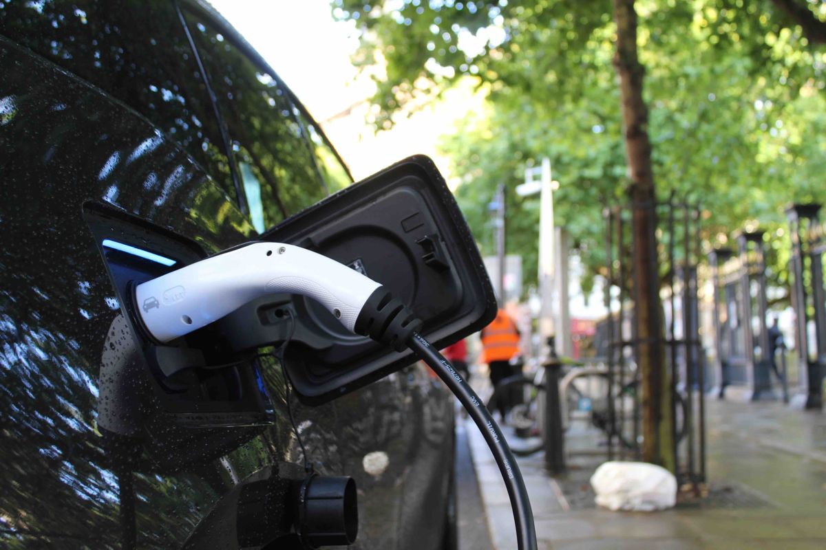
With sales of electric vehicles increasing, the availability of charge points remains a barrier to EV adoption. Property consultancy Carter Jonas is applying the latest geospatial analysis techniques to help the property sector understand opportunities in this market and identify the optimum locations for EV chargers.
Property consultancy Carter Jonas advises some of the largest property owners in the country, some of which have been with the business since it was founded in 1855. Geospatial Services is one of Carter Jonas’s many specialist advisory groups, working across all sectors as part of the organisation’s multi-disciplinary approach. This blend of expertise allows the business to give independent advice on all land and property aspects of an energy project, from renewable energy to EV (electric vehicle) charging infrastructure, battery energy storage to onshore oil and gas.
One of the fast-growing areas for the company is advising traditional roadside retailers and forecourt operators on their existing estates to enhance their EV capabilities. Alongside this, the team is also working with local authorities to identify energy opportunities, including EV, battery storage and solar schemes, examining solutions to support their communities.
Complex landscape
“For every new EV charging station opened, around 100 possible sites need to be examined, due to a high attrition rate,” explained Simon Nigh, Head of Geospatial at Carter Jonas. “Land is constantly being assessed for other uses such as housing or by competitors, creating a fiercely competitive market. Plots also need to be assessed and bought now for the planning of future EV charging developments in 20-30 years’ time.”
Carter Jonas applies its geospatial expertise to consider multiple types of data simultaneously and speed up the complex process of defining where best to locate EV charging points and what type. The challenge is similar to applying geospatial analysis to traditional retail questions – where are the customers who need to charge their vehicles and where are the staff required to work in the charging locations? The EV process, however, is made far more complex by the addition of a power grid connection.
“There is a vast and complex data landscape that needs to be examined to ensure the correct spatial distribution of EV charging facilities,” explained Nigh. “Understanding where people live, where they work and how they transition the strategic road network is fundamental. However, the biggest challenge is understanding the spatial relationship between the power network and the capacity needed to support new connections. Understanding the available grid capacity at a substation, its distance from the proposed site and the type of land cover between the two, all need to be carefully balanced to establish the cost of connection.”

Everything starts with data
The team uses GIS (Geographic Information System) from Esri UK to analyse the multiple types of data. A range of tools gathers the necessary spatial data into an enterprise geodatabase, including open source data from Ordnance Survey, the Office for National Statistics (ONS) and Department for Transport (DfT) plus demographic data from Esri’s Living Atlas, one of the world’s largest collections of geographic information.
Data is sometimes collected from the public using Esri’s mobile survey app, Survey 123, to help inform the planning need and the commercial argument. Density models for traffic and population analysis are also used along with other factors, such as the number of home charging points which will soon be in the market and the proportion of commuter journeys, compared to longer journeys, taking place on the road network.
“A key challenge lies in knowing what capacity there is at a nearby sub-station, to help understand what mix of charge points is most viable at a proposed site,” said Nigh. “Accurate and timely data must be sourced from the electricity District Network Operators (DNOs), which involves tackling the different formats this data is stored in, both digital and analogue, including pdfs and spreadsheets which aren’t always GIS-ready.”
Carter Jonas also creates its own custom data sets, including the power grid data. Grid infrastructure can be found on DNO distribution heat maps but these quickly become out of date as the networks are so dynamic. The GIS team scrapes data and digitises it to develop the most dependable data.
Spatial insights
Carter Jonas uses the location intelligence generated in various outputs, including strategy papers for local authorities, who want to identify the need for EV charging infrastructure within their communities. They may choose to either rent space to a developer or charge point operator to generate revenue or build a charging station themselves.
For other clients, the Esri GIS system is used to create web maps to present the data and enable the fast assessment of all variables on the same map. This allows clients to test multiple different scenarios in the real world.
As much of the demographic data required is already in the cloud and in the right format, via Esri’s Living Atlas, the custom online maps created by the GIS team are fast and responsive – they don’t need to go to the ONS and other data sources to download the data first. This means clients can query the maps and try infinite ‘what if’ and ‘where’s the nearest’ scenarios in real time.
“Our clients need to analyse a lot of data quickly so require a highly responsive visualisation tool – reading a 10-page report is no good to clients,” commented Nigh. “The Living Atlas data works seamlessly with the Esri web maps, allowing rapid interrogation when clients are looking at the whole range of variables and examining lots of different sites.”

Finite opportunities
Carter Jonas is always exploring how digitalisation can improve productivity and client engagement. The web maps are a prime example of how technology allows the team to easily share the geospatial insight with clients, improve collaboration and accelerate the understanding of what represents a solid development decision.
With the race to provide more charging points and keep up with the soaring number of EVs on the roads continuing, the development opportunity for clients is a pressing one, as Nigh concluded: “Retail sites, offices and plots of land adjacent to the strategic road network are all potentially suited for EV charging development, though in many cases landowners will not have considered it as an option. There’s a need for landowners to act fast as grid connection is finite and each road network is only capable of sustaining a limited number of these developments.”


