Shaping Crop Protection Strategies with Satellite Data
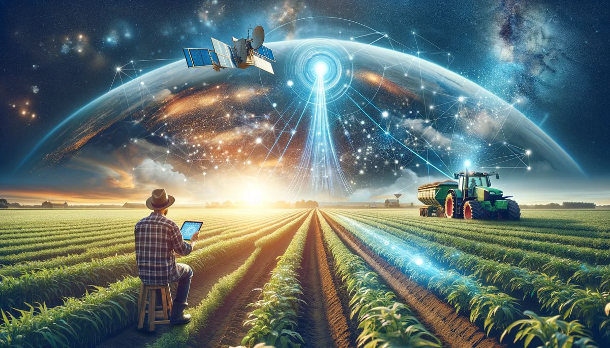
It’s no secret to modern farmers that satellite data is a game-changer in agriculture. However, this isn’t just about fancy tech. It’s about how real-time data collected far away from the Earth surface can help farmers make smart, on-the-ground decisions for healthier crops and better yields.
And that implies tackling the tough stuff — pests, diseases, and the wild card of changing weather — using satellites. They are basically grower’s high-tech helpers in the sky, offering an upper hand with timely insights. This means agronomists can act fast, stay ahead of problems, and keep their crops thriving by developing crop protection strategies based on satellite data.
Let’s get into more detail on how exactly farmers protect their plants and in what ways satellite data helps with this task.
Early Detection Of Pests And Diseases
By utilizing remote sensing technology, farmers are able to monitor their crops over large areas and with greater frequency. This translates into quicker detection and response to potential threats, leading to healthier crops and reduced risk of widespread damage. It’s a leap forward in efficiency, allowing farmers to stay one step ahead of problems when it comes to crops protection.
The accuracy is obviously a key benefit of satellite field monitoring, providing detailed and precise information about the health of plants. With this data, farmers can pinpoint exactly where intervention is needed, leading to targeted and more successful pest management strategies.
In terms of finances, remote sensing technology is an investment that pays off in the long run. Enabling early detection and precise targeting of pests and diseases helps minimize yield losses, which not only saves money but also optimizes the use of precious resources like water and pesticides.
Real-time monitoring is another significant advantage. Continuous observation means that farmers can act quickly, applying treatments only where and when they are needed. This not only conserves resources but also minimizes the environmental impact of farming practices, especially when it involves chemical crop protection.
So, how is all of this possible? How do satellites collect all that data? How is this data processed? The technology behind it includes visible and near-infrared spectral sensors, fluorescence and thermal sensors, and even more sophisticated systems like synthetic aperture radar (SAR) and light detection and ranging (Lidar). These tools provide a wealth of data that goes beyond what the human eye can see, detecting issues before they become visible to farmers.
The data gathered is then analysed using various algorithms. These range from statistical discriminant analyses to machine learning algorithms and regression-based models. They help in identifying, differentiating, and determining the severity of diseases and pests across large areas. This isn’t just about collecting data but about translating it into meaningful, actionable information.
Data-based Farm Management
Data-based farm management, leveraging satellite data, represents a technological leap in agriculture. It involves specific tools for monitoring field health, analysing climate impact, managing fertility, and modelling crop yields. Such instruments allow for instant access to already processed satellite imagery, providing real-time insights into various factors affecting crops.
For example, advanced analytics, such as vegetation indices measurements, offer detailed views of crop health and growth patterns, enabling accurate and smart decision-making, enhancing overall farm productivity.
Yield prediction, another critical aspect, utilizes data trends and historical patterns to forecast future crop output. This capability is essential for planning and resource allocation. In essence, this technology integrates satellite data into a unified platform, transforming how agricultural activities are planned, monitored, and optimized, leading to smarter, more sustainable farming practices.
In general, field management based on reliable satellite data greatly benefits various players in the agricultural sector. Farmers can use these tools to optimize their operations, resulting in better crop health and higher yields. Insurers benefit by using comprehensive field data for more accurate risk assessment and policy creation. For agricultural traders, this technology provides vital information for assessing regional crop potentials and planning logistics, thereby facilitating safer and more profitable transactions.
Weather-Responsive Crop Protection
Being aware of historical, current, and future weather is a necessity for successful farming. And satellites are great assistants that help retrieve weather data and related valuable information. Through precision agriculture, satellite imagery helps in assessing crop health, soil quality, and moisture levels to guide farmers in making strategic decisions about when to plant, irrigate, and harvest, enhancing crop yields and reducing resource waste.
Moreover, meteorological satellites or software that has ground weather data built-in, serve as an early warning system for adverse weather conditions. They track weather patterns, alerting farmers to potential threats like droughts, floods, or storms in advance. This early detection allows for timely preventive measures, such as adjusting irrigation schedules or applying crop protection chemicals, thereby reducing the impact of such events.
By monitoring environmental conditions like humidity and temperature, satellites can help predict the likelihood of pest infestations and disease spread. This enables farmers to apply pesticides and fungicides only when necessary.
By analysing rainfall patterns and soil moisture levels retrieved by satellites, farmers can tailor their irrigation systems, ensuring that crops receive the optimal amount of water, which is vital for maintaining crop health and maximizing yield.
To put it simply, satellite data caters to farmers by offering a multi-dimensional approach to field management. It not only boosts efficiency and productivity in farming but also enhances resilience against environmental challenges, playing a pivotal role in modern agriculture.


