Harnessing Data and Technology for Wildfire Mitigation
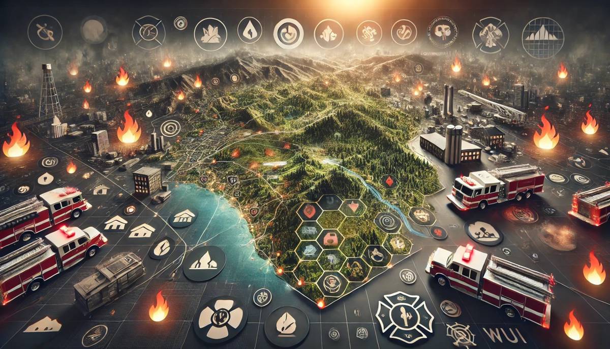
Wildfires have become an increasing menace, raging with greater frequency and intensity across the globe. Understanding and managing wildland-urban interface (WUI) areas, where human habitation meets wildland vegetation, is paramount for safeguarding ecosystems and communities.
To tackle this pressing issue, the United States Fire Administration (USFA), a branch of the Federal Emergency Management Agency (FEMA), has introduced two cutting-edge WUI fire awareness tools. These tools, powered by Esri’s advanced data and technology, offer invaluable insights for local fire services and the general public, enhancing preparedness and mitigation efforts.
Understanding WUI Areas
Esri’s ArcGIS Living Atlas of the World datasets are the backbone of these innovative tools. By leveraging this comprehensive geospatial information, the WUI Fire Property Awareness Explorer and the WUI Fire Community Awareness Explorer deliver crucial spatial insights into areas where human activity and wildland vegetation intersect. These tools not only raise awareness about WUI locations but also highlight potential fire susceptibility, supporting efforts in community risk reduction, code adoption, enforcement, mitigation, and strategic planning.
Dr. Lori Moore-Merrell, U.S. Fire Administrator at FEMA, underscores the significance of these tools: “One-third of the U.S. population currently lives within the expanding WUI environment, and many do not know the threat they face if there is a fire ignition nearby. The USFA awareness tools created using Esri’s data and mapping technology will help communities and fire service organizations to understand these unique geographic vulnerabilities so they can better prepare and respond.”
Empowering Communities with Critical Information
The newly developed WUI Fire Awareness tools are game-changers for firefighters, emergency managers, and land developers. Accessible via a publicly available online hub, these tools offer detailed maps and analyses that users can apply to their specific locations. This comprehensive view of the factors contributing to WUI exposure and fire-prone areas empowers stakeholders to make informed decisions regarding wildfire mitigation, response, and recovery.
These tools utilize data from FEMA’s USA Structures Data and Sentinel-2 Land Cover Data within ArcGIS Living Atlas of the World, ensuring users have access to accurate, up-to-date geospatial information. By employing Esri’s Big Data Toolkit, the dataset meticulously maps areas where human activities and wildland vegetation converge, thereby increasing the potential for wildfires.
Key Features of the WUI Fire Awareness Tools
The WUI Fire Property Awareness Explorer and WUI Fire Community Awareness Explorer come equipped with several powerful features:
- Comprehensive Mapping: Detailed visualization of WUI areas, showing where human activities meet wildland vegetation.
- Risk Analysis: Identification of fire-prone regions, helping communities understand their vulnerability.
- Interactive Interface: Users can input their addresses to see specific risks and recommendations.
- Educational Resources: Informative content to educate the public and fire services about WUI dangers and mitigation strategies.
Boosting Preparedness and Response
The adoption of these tools marks a significant advancement in wildfire preparedness and response. Communities can now identify particularly vulnerable areas and implement proactive measures to mitigate risks.
Fire services and emergency managers can strategize and allocate resources more effectively, reducing the devastating impact of wildfires.
Integrating Technology with Wildfire Management
Esri’s role in this initiative cannot be overstated. As the global leader in location intelligence, Esri’s technology and data are pivotal in creating tools that provide a detailed and actionable understanding of WUI areas.
This collaboration with USFA exemplifies the potential of integrating cutting-edge technology with wildfire management practices.
A Leap Forward in Wildfire Mitigation
In a world where wildfires are becoming an ever-present threat, the need for advanced tools to understand and manage WUI areas is more critical than ever. The WUI Fire Property Awareness Explorer and WUI Fire Community Awareness Explorer, powered by Esri’s ArcGIS Living Atlas, represent a significant leap forward in wildfire mitigation efforts.
By providing communities, fire services, and land developers with the information they need, these tools pave the way for a more prepared and resilient approach to wildfire management.


