Predicting Floods with Satellites and AI
As climate change continues to wreak havoc globally, accurate and accessible tools to visualise and prepare for natural disasters have become indispensable.
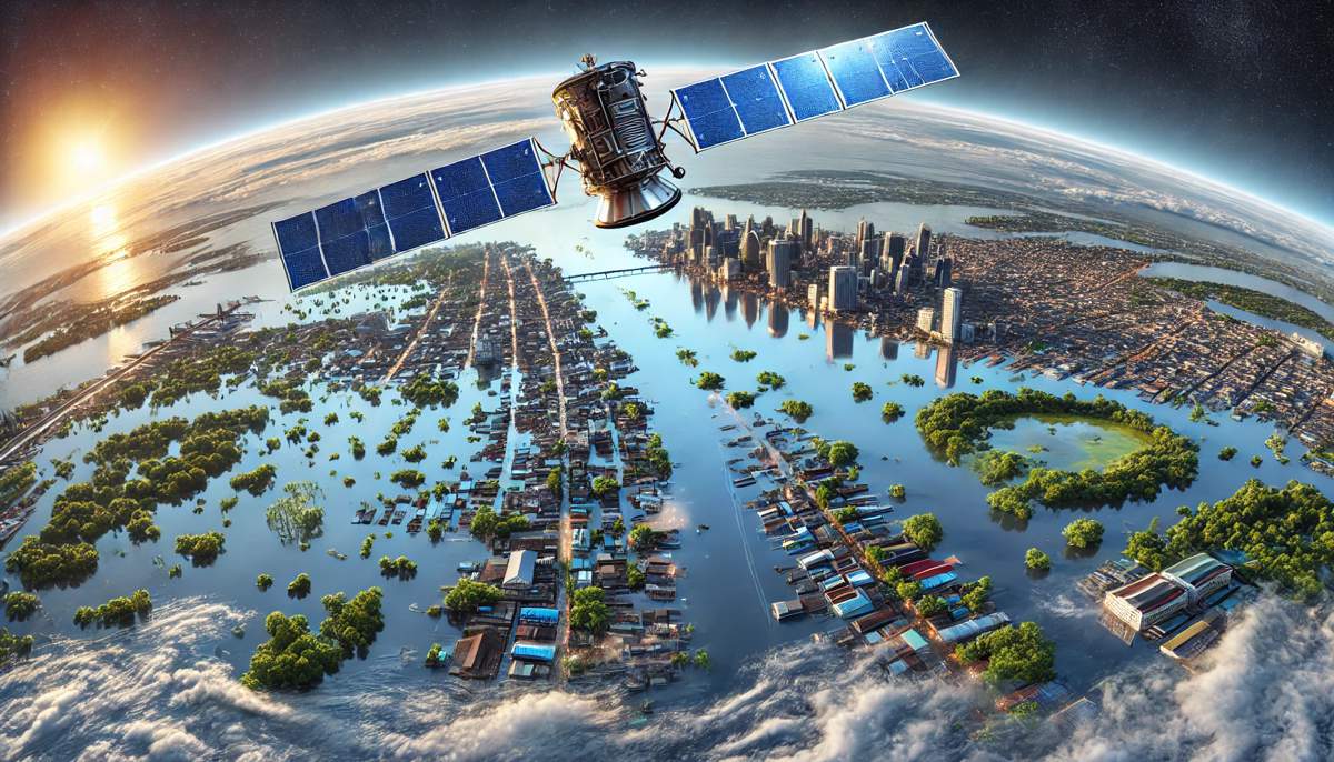
One ground-breaking innovation leading the charge is a new AI-driven method developed by MIT scientists, capable of generating hyper-realistic satellite imagery to predict the aftermath of flooding events. Aptly called the Earth Intelligence Engine, this pioneering approach blends cutting-edge artificial intelligence with physics-based flood modelling to deliver visuals that could revolutionise disaster preparedness.
AI Meets Physics-Based Modelling
The Earth Intelligence Engine goes beyond traditional forecasting tools by merging generative AI with the precise science of flood modelling. This unique combination enables the system to simulate satellite images depicting exactly how a region might look after a storm. By incorporating data such as hurricane trajectory, wind patterns, and storm surges, the method generates visuals that are both realistic and scientifically accurate.
“The idea is: One day, we could use this before a hurricane, where it provides an additional visualisation layer for the public,” explains Björn Lütjens, a postdoctoral researcher at MIT’s Department of Earth, Atmospheric, and Planetary Sciences. “One of the biggest challenges is encouraging people to evacuate when they are at risk. Maybe this could be another visualisation to help increase that readiness.”
For their initial test case, the MIT team applied the tool to Houston, a city devastated by Hurricane Harvey in 2017. The generated satellite images mirrored actual post-Harvey satellite photos, pixel for pixel, in areas affected by flooding. When compared to results from a purely AI-driven model, the physics-enhanced approach demonstrated remarkable accuracy, avoiding the “hallucinations” often generated by standalone AI systems—such as placing floods in elevated areas where they’re physically impossible.
Tackling the Hallucination Problem in AI Models
Generative AI models, such as conditional generative adversarial networks (GANs), have proven highly effective at creating realistic images. However, these systems are not without flaws. GANs work by pitting two neural networks against each other: one generates synthetic images while the other critiques them, refining the results through feedback. While this process produces strikingly realistic visuals, it can also lead to inaccuracies or “hallucinations”—details that look plausible but aren’t factually correct.
“Hallucinations can mislead viewers,” Lütjens cautions. “We were thinking: How can we use these generative AI models in a climate-impact setting, where having trusted data sources is so important?”
The solution? Pairing GANs with physics-based flood models, which add a layer of reliability by grounding the visuals in real-world physical parameters. This approach ensures that the AI-generated images align with the actual dynamics of flooding, such as water flow, elevation, and storm surge impact.
Why Hyper-Local Visualisation Matters
For policymakers, emergency responders, and the general public, clear and relatable visualisations are key to effective disaster preparedness. Traditional tools often rely on colour-coded maps to convey flood risk. While informative, these maps can feel abstract and detached from the realities faced by individuals and families.
“Providing a hyper-local perspective of climate seems to be the most effective way to communicate our scientific results,” says Dava Newman, a professor of Aeronautics and Astronautics at MIT and co-author of the study. “People relate to their own postcode, their local environment where their family and friends live. Providing local climate simulations becomes intuitive, personal, and relatable.”
By transforming complex data into tangible satellite imagery, the Earth Intelligence Engine offers a powerful new way to engage communities. Instead of abstract maps, residents can see how their streets, neighbourhoods, and homes might look after a storm, helping them make informed decisions about evacuation and preparation.
Training the Model for Broader Use
While the Houston test case has shown promising results, scaling this tool for global use will require extensive training on a wider range of satellite images. Flooding scenarios differ significantly depending on local geography, infrastructure, and climate conditions, meaning the model must learn to adapt to diverse environments.
According to the researchers, the tool could eventually be applied to any region—from coastal cities to inland floodplains—provided it has access to sufficient training data. This adaptability could make it an invaluable resource for governments, humanitarian organisations, and urban planners worldwide.
The team’s findings, published in IEEE Transactions on Geoscience and Remote Sensing, highlight the potential for generative AI to create trustworthy, actionable insights in risk-sensitive scenarios. Newman sums it up: “We show a tangible way to combine machine learning with physics for a use case that’s risk-sensitive, which requires us to analyse the complexity of Earth’s systems and project future actions and possible scenarios to keep people out of harm’s way.”
Potential Applications Beyond Flood Prediction
While the Earth Intelligence Engine currently focuses on flooding, its broader implications are worth exploring. Similar methodologies could be applied to other climate-related challenges, such as predicting wildfire spread, landslides, or drought impacts. The fusion of AI and physics-based modelling opens the door to creating visualisations for a wide range of natural disasters, each tailored to the unique needs of affected communities.
Moreover, the tool’s applications extend beyond emergency response. Urban planners, insurance companies, and environmental researchers could use this technology to simulate and mitigate risks, ensuring better preparedness and resilience in the face of climate change.
Bringing Cutting-Edge Tools to Communities
The ultimate goal of the Earth Intelligence Engine is to empower local communities with accessible, actionable information. By providing realistic and trustworthy visuals, the tool can bridge the gap between scientific data and public understanding.
“We can’t wait to get our generative AI tools into the hands of decision-makers at the local community level, which could make a significant difference and perhaps save lives,” Newman says. The team has even made the tool available online, inviting others to explore its capabilities and contribute to its refinement.
A Future of Informed Preparedness
As extreme weather events become more frequent and severe, innovations like the Earth Intelligence Engine are essential for adapting to a changing climate.
By combining the strengths of generative AI and physics-based modelling, MIT’s team has created a tool that not only advances technology but also strengthens our collective ability to face environmental challenges head-on.
With further development and broader application, this breakthrough could mark a turning point in how we prepare for and respond to natural disasters.


