AI is Helping Locate Forgotten Oil and Gas Wells
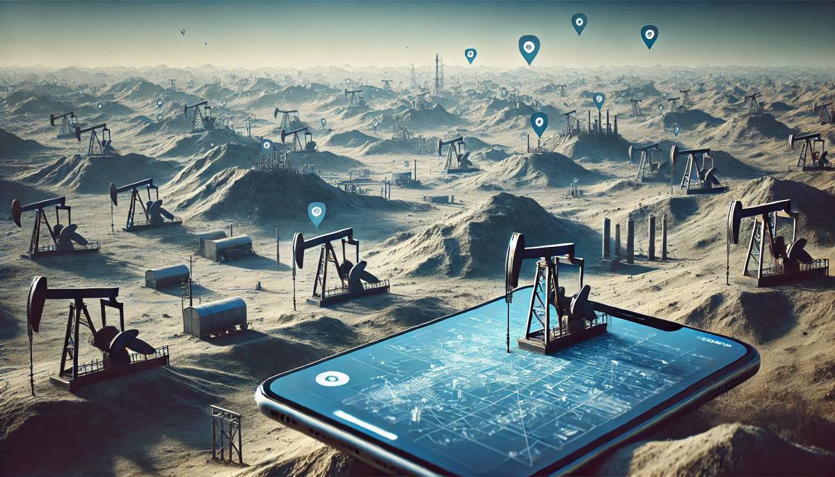
Across the United States, relics of nearly two centuries of commercial drilling lie scattered, many out of sight and out of mind. These undocumented orphaned wells (UOWs), often overlooked due to the absence of proper records, pose a twofold risk: environmental degradation and climate impact. With no financially solvent operators or formal documentation, these wells remain a silent hazard.
When improperly plugged, these wells can leak toxic chemicals like benzene or hydrogen sulfide into surrounding water sources and the air. Even more concerning, they emit methane, a greenhouse gas with a global warming potential up to 28 times that of carbon dioxide over a century, exacerbating climate change.
Bridging the Gap Between Past and Future
Modern tools, including drones, laser imaging, and advanced sensors, have enabled researchers to detect methane emissions and locate UOWs. However, the sheer scale of the contiguous United States, spanning over three million square miles, makes manual searches inefficient. Enter artificial intelligence (AI), which, when paired with historical topographic maps, offers a ground-breaking solution.
Fabio Ciulla, a postdoctoral fellow at Lawrence Berkeley National Laboratory (Berkeley Lab), explained his research: “AI can enhance our understanding of the past by extracting information from historical data on a scale that was unattainable just a few years ago.” His team’s approach utilises geotagged historical maps from the United States Geological Survey (USGS) to identify potential undocumented wells.
A New Perspective on Historical Data
The USGS archive contains 190,000 geotagged topographic maps, spanning from 1884 to 2006. These maps, which indicate oil and gas wells with consistent symbols (a hollow black circle), form the backbone of the AI-driven analysis. While a human could identify these symbols manually, scaling this effort to thousands of maps would be unfeasible.
“This problem is equivalent to finding a needle in a haystack,” noted Charuleka Varadharajan, a senior scientist at Berkeley Lab. To train the AI, researchers manually marked well locations on 100 maps, creating a dataset that enabled the algorithm to differentiate between well symbols and false positives, such as cul-de-sacs or circular patterns resembling the number 9. The AI then compared these findings against documented well coordinates to highlight potential UOWs.
Results That Speak Volumes
In counties with significant early oil production—Los Angeles and Kern in California, and Osage and Oklahoma in Oklahoma—the AI identified 1,301 potential undocumented wells. Satellite images and field surveys verified 44 of these wells, with further investigations ongoing.
Notably, the wells’ predicted locations were accurate within an average of 10 metres, showcasing the AI’s precision.
Field Verification: From Maps to Reality
Verification starts with remote tools, such as satellite images and historical aerial photographs. Researchers look for signs like oil derricks, pump jacks, or disturbed ground. For wells that remain elusive, teams employ magnetometers, devices that detect buried metal casings by measuring magnetic field disturbances.
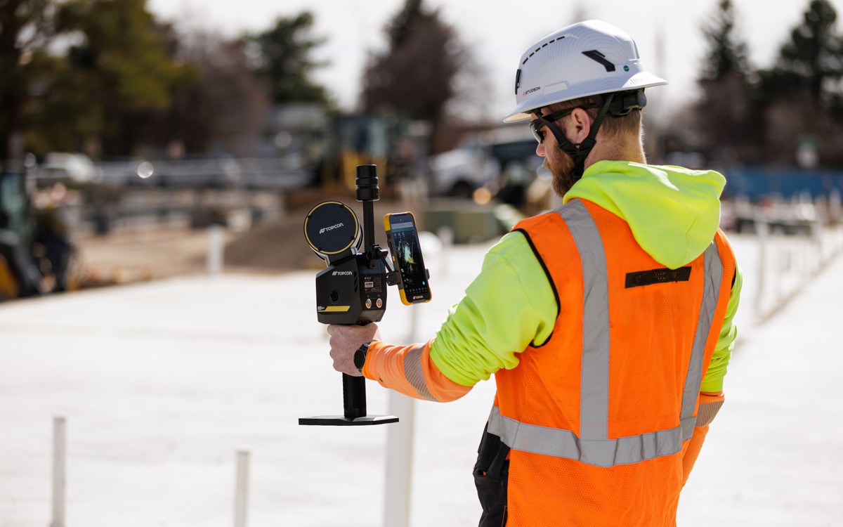
At suspected well sites, researchers record GPS coordinates, take photos, and measure methane emissions. “With our method, we intentionally chose to have more false negatives than false positives,” explained Varadharajan, highlighting the cautious approach to pinpointing wells.
Tackling a Nationwide Problem
The AI initiative forms part of the Consortium Advancing Technology for Assessment of Lost Oil & Gas Wells (CATALOG), a multi-laboratory project led by Los Alamos National Laboratory. With contributions from Berkeley Lab, Sandia National Laboratories, and others, CATALOG aims to address the estimated 310,000 to 800,000 UOWs across the U.S.
Key goals include:
- Developing cost-effective methods to locate and assess wells.
- Enhancing methane detection and quantification tools.
- Prioritising wells for safe plugging and abandonment.
Craig Walker, Director of Osage Nation Natural Resources, noted: “Utilising AI and state-of-the-art detection equipment has filled data gaps and streamlined processes within the Osage Nation Orphan Well Program.”
The Climate Connection
Methane leaks from UOWs pose a significant challenge to climate mitigation strategies. Berkeley Lab scientist Sebastien Biraud’s team is exploring affordable methane sensors that can quantify emissions quickly. “We don’t need exact figures,” Biraud explained. “We need to know if a well isn’t leaking, or if it’s leaking kilograms per hour.”
This rapid triage is crucial, as plugging efforts require before-and-after emission measurements to ensure effectiveness and to quantify the broader impact on climate goals.
From the Ground to the Sky
Drones equipped with sensors are revolutionising well detection. Magnetometers suspended on cables, methane sensors that analyse air samples, and hyperspectral cameras detecting methane plumes are just a few of the tools in use. LIDAR-equipped planes and even smartphone magnetometer apps further enhance detection capabilities.
“The right way to attack this problem is a multi-layer approach,” Ciulla remarked. By combining historical maps, sensor data, and satellite imagery, researchers create a comprehensive toolkit for locating and assessing UOWs.
A Collaborative Effort
The CATALOG project’s success hinges on partnerships with stakeholders like Native American tribes, the U.S. Forest Service, and the National Park Service.
“We’re seeing that this is one way we can have an impact,” Biraud stated, emphasising the importance of collaboration in tackling this monumental task.
Paving the Way Forward
With innovative AI technologies and collaborative efforts, the path to addressing the hidden dangers of undocumented orphaned wells is becoming clearer. By unearthing these forgotten relics, researchers are not only safeguarding the environment but also making significant strides in climate mitigation.
As Ciulla aptly put it: “It’s a beautiful mix of the old and the new.”
