AI takes to the Road as Machine Learning Reinvents Road Quality Monitoring
In an era where innovation meets infrastructure, road quality monitoring is undergoing a seismic shift. Traditional pavement assessment techniques, though reliable, are proving increasingly cumbersome, expensive, and time-consuming, especially in rural or resource-limited areas.
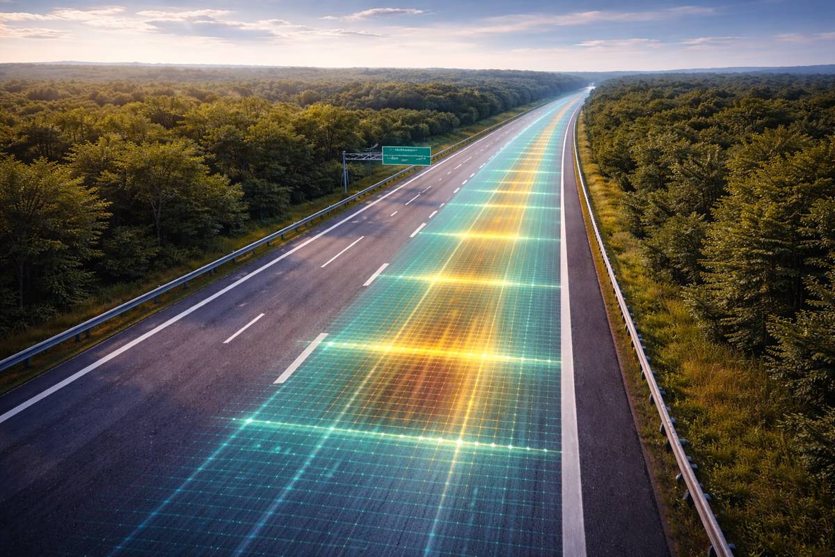
Enter artificial intelligence and satellite imagery: the cutting-edge combo reshaping how road quality is managed, monitored, and maintained across the globe.
Why Road Quality Monitoring Matters More Than Ever
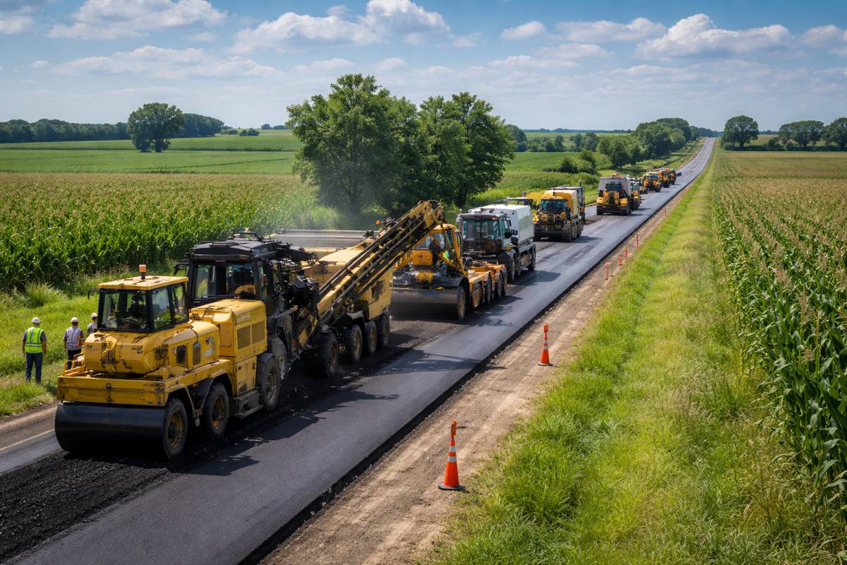
Roads aren’t just strips of concrete or asphalt; they’re the lifelines that connect communities, economies, and opportunities. Ensuring their quality is critical not only for public safety but also for economic vitality and environmental resilience. Poorly maintained roads don’t just inconvenience drivers, they escalate costs dramatically. According to the World Bank, a road ignored for just three years could cost up to six times more to repair than a regularly maintained one.
But here’s the rub: traditional road assessments, typically involving manual inspections and expensive equipment, face significant hurdles, especially in developing countries. Skilled personnel shortages and budget constraints often mean these surveys occur sporadically, leaving road networks vulnerable to rapid deterioration.
A New Frontier for Road Surveys
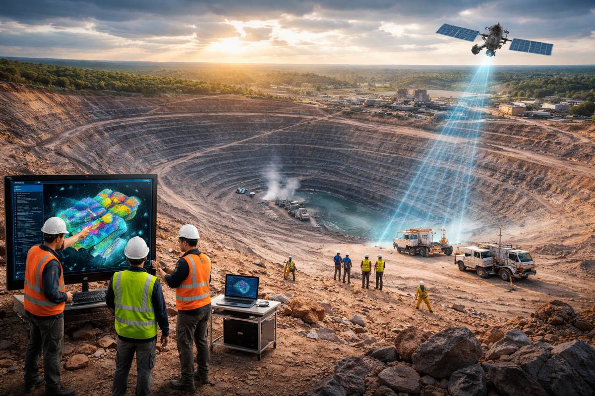
Breaking free from the limitations of traditional surveys, satellite-based assessments offer unprecedented potential. Satellite imagery, widely accessible and frequently updated, provides comprehensive data coverage. Advanced satellites like Sentinel-2 deliver images every five days at resolutions up to 10 meters per pixel, transforming how we understand road conditions remotely.
Coupled with Artificial Intelligence (AI)—particularly Convolutional Neural Networks (CNN)—satellite data can identify road conditions accurately without the immediate need for on-site surveys. Research from the Asian Development Bank (ADB) highlights promising results, showcasing CNN’s accuracy rates above 70% when classifying roads into basic quality categories such as ‘good,’ ‘fair,’ and ‘poor.’
Elaine Tan, spearheading this innovative project at ADB, remarked: “Satellite imagery, enhanced by AI, offers us an affordable and scalable alternative, especially for countries with limited resources. It’s a game-changer.”
From Low Resolution to High Precision
One exciting aspect of AI in road monitoring involves image enhancement techniques such as super-resolution. Using sophisticated deep-learning methods like Real-Enhanced Super-Resolution Generative Adversarial Networks (Real-ESRGAN), researchers can upscale low-resolution satellite images, effectively transforming grainy, indistinct pictures into detailed visuals suitable for accurate analysis.
Although visually impressive, it is noteworthy that research by the ADB team found that super-resolution does not significantly enhance the accuracy of road classification in their initial tests. Yet, the improved visual clarity can facilitate human verification and potentially enhance subsequent AI model training.
Smartphones Power Crowdsourced Road Quality Data
Satellite imagery is revolutionary, but it isn’t the only promising tech on the block. Smartphone-based assessments are also emerging as a robust, complementary approach. Leveraging sensors commonly found in modern smartphones—accelerometers, GPS modules, and gyroscopes—road agencies can crowdsource data directly from vehicles on the move.
This method proves particularly cost-effective and scalable. Recent initiatives have demonstrated smartphone-based sensors’ ability to estimate the International Roughness Index (IRI)—a standard metric for road smoothness—with surprising accuracy.
Combining crowdsourced smartphone data with satellite imagery could lead to even more precise and real-time road condition assessments, significantly enhancing predictive maintenance capabilities.
Practical Steps for Implementation
Adopting these advanced monitoring techniques involves careful planning and resource allocation. Organizations considering these technologies should address several key aspects:
- Selecting Appropriate Imagery: Medium-resolution satellite data like Sentinel-2 images provide a cost-effective starting point. However, high-resolution commercial images might be necessary for detailed assessments.
- Computational Resources: While AI processes are computationally intensive, most road agencies already possess sufficient computing capabilities. Outsourcing computational tasks or cloud-based solutions can further streamline implementation.
- Local Validation and Training: It’s crucial that AI models are locally validated to account for unique road conditions, terrain, and climate factors.
Integration and Collaboration
The most effective approach isn’t choosing between traditional methods and new technologies but integrating them. Satellite and smartphone data can efficiently prioritize roads that urgently require on-the-ground assessments, thus optimizing limited resources and accelerating maintenance responses.
Moreover, collaborative approaches, where satellite imagery expenses and data are shared among multiple public agencies (such as those overseeing agriculture, forestry, and disaster management), can significantly reduce individual agency costs, making the technology more accessible and practical.
Albert Park, Chief Economist at ADB, emphasized this point, stating: “Innovation is essential for sustainable and inclusive growth. By combining technology with traditional infrastructure management, we’re opening new doors to resilience and prosperity.”
A Bright Road Ahead
The journey to smarter road quality monitoring has already begun, driven by the relentless innovation of AI and satellite technology. With practical methodologies laid out by leading organizations like the ADB, governments and development practitioners now have the tools they need to improve road maintenance efficiency, reduce costs, and enhance road safety significantly.
Road infrastructure is entering a new era—one where technology and infrastructure management merge seamlessly, ensuring smoother, safer journeys for everyone, everywhere.
