Cracking the Code of Hidden Oil Barriers with 4D Seismic Imaging
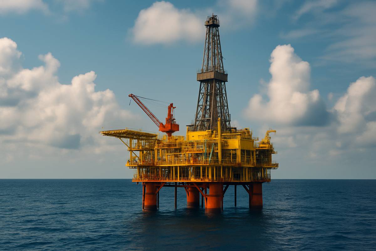
For decades, oil companies have faced a frustrating dilemma. Seismic scans point to vast underground reserves, yet production often dries up far earlier than anticipated. Penn State University researchers believe they’ve cracked part of the puzzle, revealing hidden geological structures that can block oil extraction.
Their pioneering work combines time-based seismic imaging with amplitude analysis, supported by the immense computing power of the Pittsburgh Supercomputing Center’s (PSC) Bridges-2 system.
Why the Oil Industry Needs Smarter Drilling
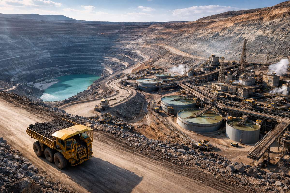
Locating and extracting oil is a costly, high-stakes game. With reserves lying deeper and in increasingly remote locations, the margin for error is slim. Efficiency is no longer just about profit — it’s a necessity for environmental responsibility. Wasting resources through inaccurate reserve estimates can mean millions lost and unnecessary drilling that impacts fragile ecosystems.
Traditionally, experts have relied on 3D seismic imaging to estimate the size and accessibility of reserves. However, wells have often run dry after just a fraction of the expected oil was recovered. As Penn State’s Tieyuan Zhu put it: “They started drilling in 2008 … they could produce oil for 20 years, 30 years. But unfortunately, after two years, there was nothing. … The big issue actually is the complexity of the geology in the reservoir.”
Adding Time to the Seismic Equation
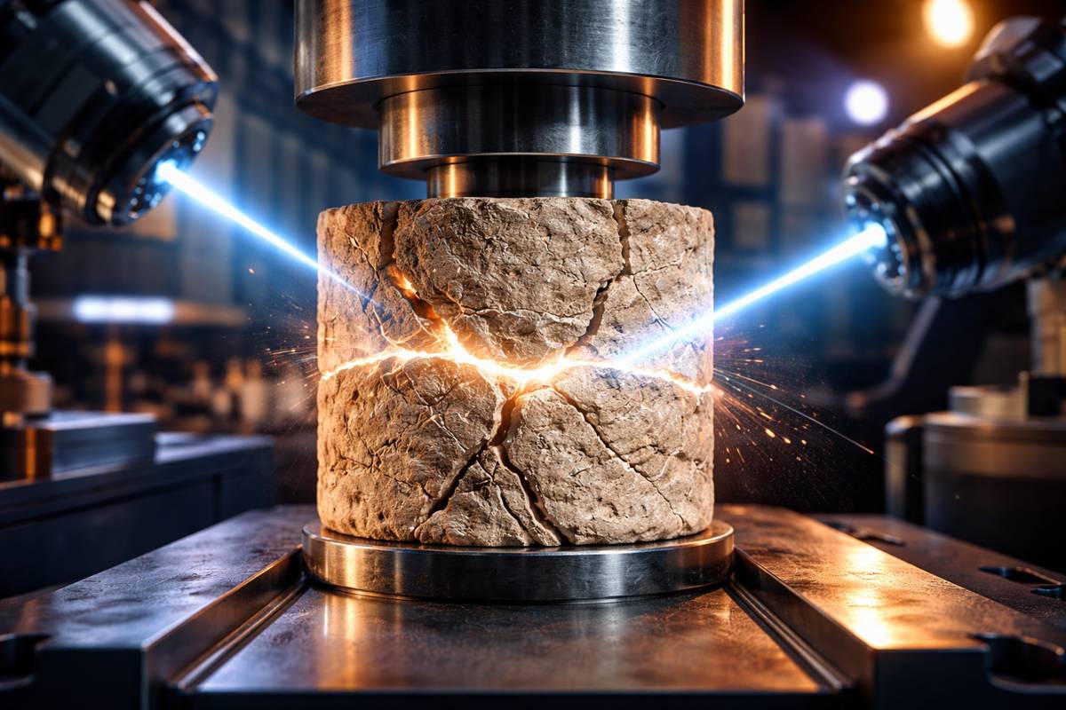
Seismic imaging works much like a medical ultrasound. Sound waves are sent underground, and the returning signals reveal variations in rock and fluid composition. Oil-saturated rock slows the passage of sound, helping identify potential reserves. Yet, even with sophisticated mapping, unseen obstacles can still disrupt extraction.
Zhu’s team introduced a game-changing fourth dimension — time. By capturing seismic images of the same field at different intervals, they could observe subtle changes and patterns missed by static 3D scans. This 4D approach provided a dynamic view, exposing geological features that can block oil flow.
Listening Beyond the Echo: Amplitude Matters
Until now, most seismic surveys focused primarily on travel time — the delay caused by oil in porous rock. Penn State scientists expanded the scope by also measuring amplitude, the signal’s loudness, which oil tends to dampen. This additional data point offered richer insights into the reservoir’s complexity.
The results were telling. Some rock formations, though invisible in time-only scans, became evident when amplitude was factored in. These could include denser rock layers within the reservoir, effectively acting as oil barriers.
Computing at Super Scale
Processing this expanded dataset was no small feat. The analysis required tremendous computing power and memory capacity to avoid the delays of repeatedly accessing stored data. PSC’s NSF-funded Bridges-2 supercomputer provided the ideal solution, with its CPU nodes offering between 256 and 512 gigabytes of RAM — many times the capacity of a high-end laptop.
As Zhu explained: “The first phase of using Bridges-2 was to parallelize our research code … The second phase is really to implement the code to the field data … PSC guaranteed me a hundred thousand computing hours, and also the memory to store my data … That just cannot be achieved with our local [resources].”
Proof of Concept with North Sea Data
The Penn State team tested their method using real-world data from the North Sea. Despite initial estimates predicting decades of output, some wells had run dry in just two years. The enhanced imaging revealed why — previously undetected rock structures had effectively sealed off sections of the oil.
In some cases, the fix was as straightforward as drilling a little deeper to bypass the blockage. This finding underscores the potential for 4D seismic imaging to increase recovery rates and reduce waste.
Scaling Up for the Future
The initial study covered just nine square miles — a modest area by industry standards. The next step is scaling the technique to handle dozens of square miles. This will require even greater computing capacity, potentially tapping into Bridges-2’s extreme memory nodes, each boasting 4,000 gigabytes of RAM.
The team’s research, published in Geophysics in September 2024 and with a more comprehensive study due in April 2025, marks a significant leap forward in reservoir imaging. By combining time and amplitude data, they have created a more nuanced and actionable view of oil fields.
A New Era for Oil Recovery
This breakthrough has the potential to transform how oil companies plan and execute drilling projects. By identifying hidden geological obstacles before drilling begins, operators can optimise well placement, reduce environmental impact, and maximise recovery from existing fields.
It’s not just about extracting more oil — it’s about extracting it smarter. As the industry grapples with the twin pressures of supply demands and sustainability commitments, innovations like 4D seismic imaging may well set the standard for the future.