Airships Chart Helsinki’s Future with Geospatial Precision
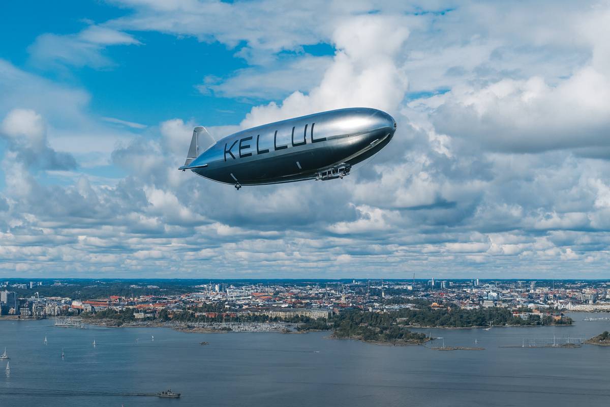
In August 2025, Helsinki took to the skies, not with jets or drones, but with elegant, autonomous airships.
The City of Helsinki, alongside its innovation arm Forum Virium Helsinki, partnered with Finnish airship specialist Kelluu to pilot a ground-breaking aerial‐imaging project above Ruskeasuo. Within a roughly 100‑hectare zone, the operation is forging a nimble, accurate, and sustainable method to capture geospatial data.
A New View from Above
Rather than relying on traditional manned aircraft or handheld drones, Helsinki’s urban geodesists now have a remote, unmanned alternative. These airships, designed and built by Kelluu, fly missions autonomously with the option for ground‑based intervention. The result? A smooth, efficient survey, guided by programming, not pilots.
City Geodesist Tiina Talvitie, representing Helsinki’s Urban Environment Division, made it clear: the goal is to test aerial imaging techniques that can speed up delivery and boost the quality of the city’s 3D digital model.
Multi‑Purpose, Multi‑Sector Data
City officials plan to put the newly gathered data to work across a range of tasks:
- Exploring urban landscapes for upcoming building and zoning initiatives
- Analysing nature‑centred datasets
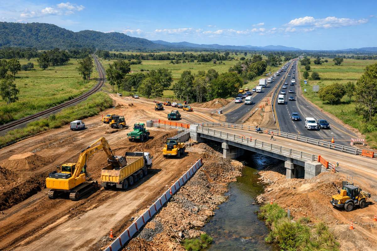
- Managing the city’s infrastructure assets
In short, it becomes a versatile resource, helping develop planning processes, evaluate ecological changes, and maintain critical city infrastructure.
Kelluu’s Edge in the Skies
Beyond the Helsinki skies, Kelluu is quietly transforming aerial monitoring. The company’s minimalist, hydrogen‑powered airships, capable of lingering aloft for over 12 hours with near‑zero emissions, are unlike any conventional aerial platform.
Compact yet robust, these airships support a suite of sensors, LiDAR, spectral and thermal cameras, and can generate high‑resolution, pixel‑precise data, feeding into rich 3D digital twins.
Their applications span from forestry (like detecting bark beetle infestations) to industrial monitoring (such as Terrafame’s open‑pit slope stability mapping), all as a seamless data‑as‑a‑service offering that replaces clunky gear and regulatory headaches.
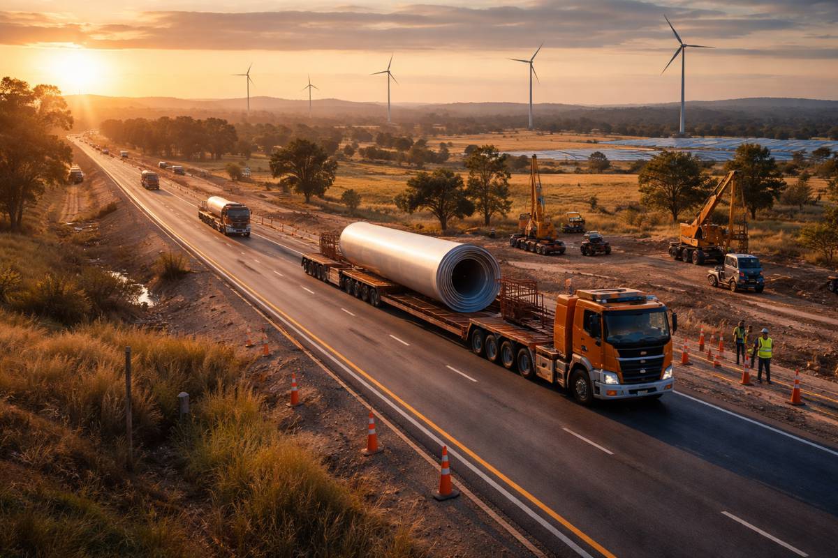
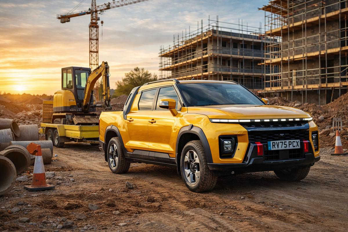
For Construction Professionals, Policymakers and Investors
- Sustainability meets Infrastructure: By delivering low‑carbon surveying methods, cities can support policy goals around net zero while empowering planners with better tools.
- Efficiency in Design & Regulation: Enhanced 3D city models aid regulatory review, improve risk assessment, and speed approvals, especially for complex urban or ecological zones.
- Investment‑Ready Visualisation: For financiers and developers, the ability to visualise future landscapes in fine detail means clearer ROI modelling and stronger project presentations.
- Dual‑Use Potential: Although Helsinki’s pilot focuses on civic use, Kelluu’s airships have drawn interest from defence bodies too, boasting silent, persistent ISR (Intelligence, Surveillance and Reconnaissance) capability.
What’s Next for Helsinki’s Pilot
With developed data already flowing into Helsinki’s urban processes, the next steps could include:
- Longer‑term integration into zoning and planning workflows
- Expansion to other city districts
- Collaboration with ecological and infrastructure departments for year‑round monitoring
- Potential adaptation in other European cities following Helsinki’s lead
Meanwhile, Kelluu is also taking flight on other fronts. Its autonomous, hydrogen‑powered airships have featured in high-profile defence trials like NATO’s REPMUS and Atlantic Trident exercise series, showcasing GNSS‑denied navigation and persistent monitoring capabilities.
A Lifted Outlook
It’s a bright, tangible example of how smart cities can rise, literally and figuratively, by tapping inventive, clean technology.
Whether for building the next skyline, caring for urban nature, or keeping infrastructure on point, Helsinki’s novel airship approach delivers a clearer, greener, more dynamic vision of tomorrow.
Exciting times up above, and concrete advantages down below.