Revolutionising Spatial Analytics with Esri, Microsoft and IBM In a significant leap forward, Esri has an ...
-
Revolutionising Spatial Analytics with Esri, Microsoft and IBM

Revolutionising Spatial Analytics with Esri, Microsoft and IBM
-
Assets of VeriDaaS acquired by The Sanborn Map Company
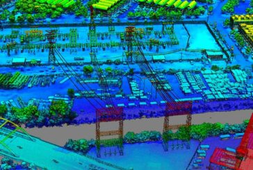
Assets of VeriDaaS acquired by The Sanborn Map Company
-
iGUIDE immersive 2D and 3D Drawing Packages released

iGUIDE immersive 2D and 3D Drawing Packages released
-
Bentley Technology saves $7m for Mountain Roadway Upgrade in Colorado
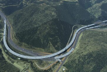
Bentley Technology saves $7m for Mountain Roadway Upgrade in Colorado
-
Esri ArcGIS Basemaps now integrated into Autodesk Civil 3D and AutoCAD

Esri ArcGIS Basemaps now integrated into Autodesk Civil 3D and AutoCAD
-
Interchange Project in South Africa improved using Connected Digital Environment
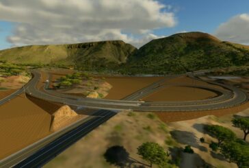
Interchange Project in South Africa improved using Connected Digital Environment
-
Unlock glasses-free 3D using LeiaSR Technology

Unlock glasses-free 3D using LeiaSR Technology
-
Digitizing Critical Infrastructure to Reduce Emissions

Digitizing Critical Infrastructure to Reduce Emissions
-
People Flow Tracking with Outsight and PreAct Technologies
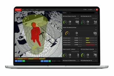
People Flow Tracking with Outsight and PreAct Technologies
-
RebuilderAI 3D Digital Twin solution wins CES Innovation Award

RebuilderAI 3D Digital Twin solution wins CES Innovation Award
-
Maxar Intelligence wins Precision3D Data contract from NGA

Maxar Intelligence wins Precision3D Data contract from NGA
-
Esri enhances 3D GIS Workflows by integrating 3D Tiles into ArcGIS

Esri enhances 3D GIS Workflows by integrating 3D Tiles into ArcGIS
-
Tampa International Airport to be revolutionised with Cepton Lidar
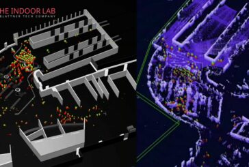
Tampa International Airport to be revolutionised with Cepton Lidar
-
Scan to BIM allows Reverse Engineering from 3D Vision Data
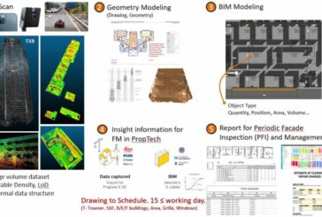
Scan to BIM allows Reverse Engineering from 3D Vision Data
-
3D Mapping and AI-based monitoring could help prevent Urban Ground Collapse
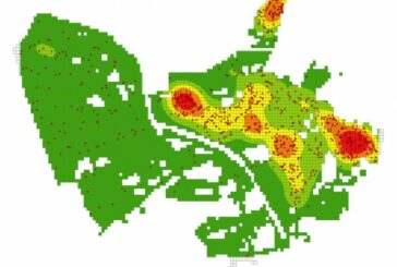
3D Mapping and AI-based monitoring could help prevent Urban Ground Collapse
-
XenomatiX LiDAR now detects road cracks with 95 percent accuracy
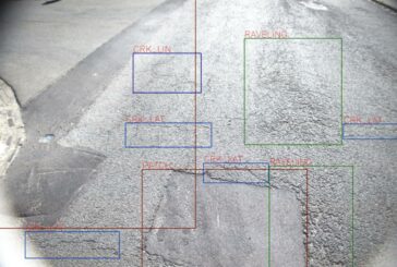
XenomatiX LiDAR now detects road cracks with 95 percent accuracy
-
PreAct Mojave Flash LiDAR now available at Amazon and DigiKey
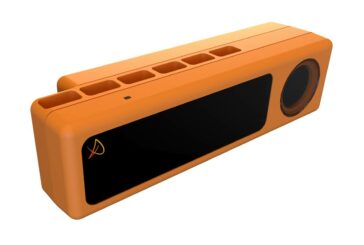
PreAct Mojave Flash LiDAR now available at Amazon and DigiKey
-
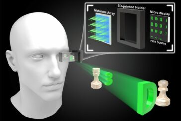
Transformative 3D displays could make the digital world more tactile

Transformative 3D displays could make the digital world more tactile


