Intelligent Planning Unlocks Sustainable City Futures
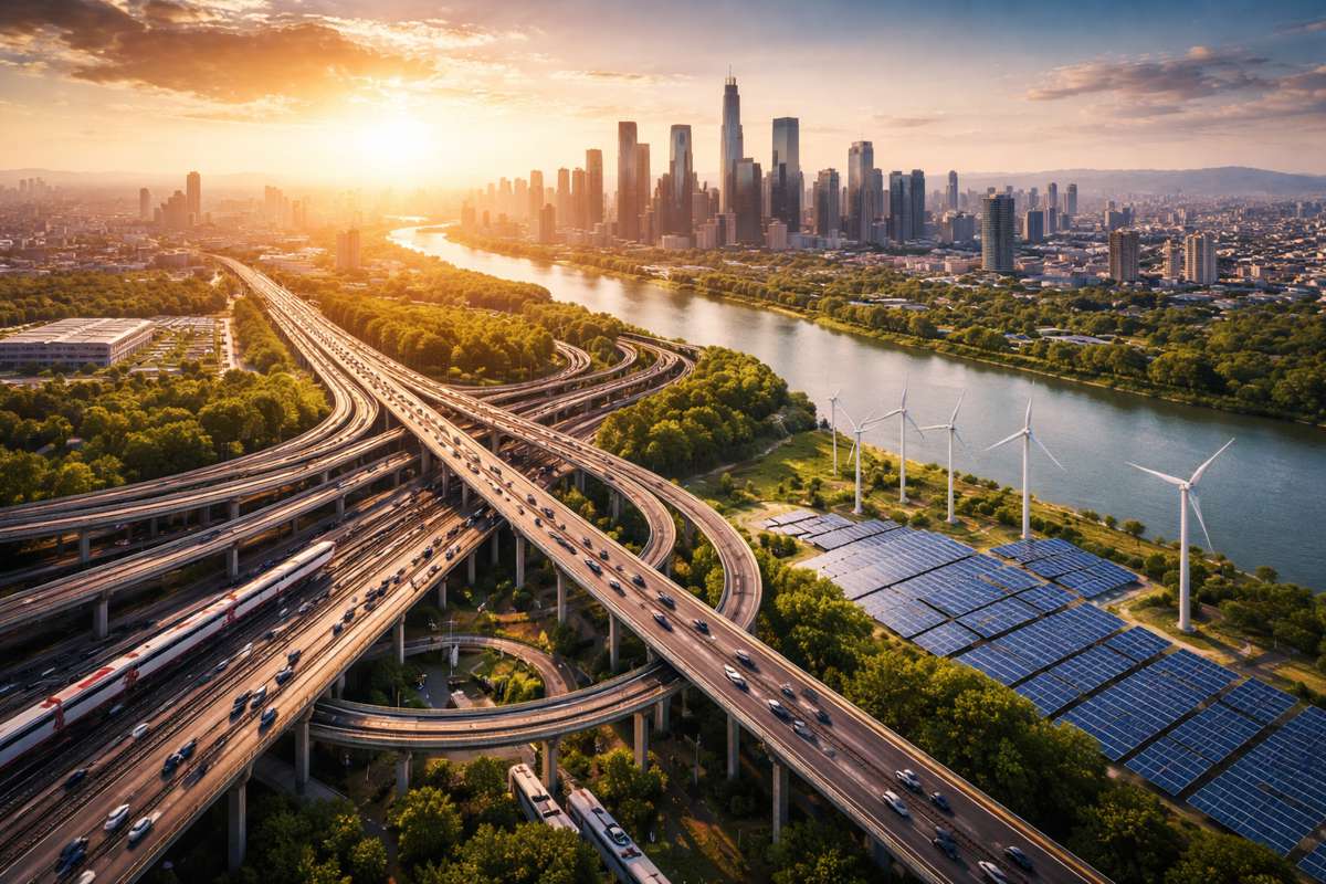
As urbanisation accelerates across the globe, megacities face an uphill battle in juggling population growth, land scarcity, and environmental protection.
Traditional expansionist planning, often focused on sheer scale, is being phased out in favour of strategies that put quality before quantity. The new mantra, Quantity Reduction and Quality Enhancement, seeks to improve land use efficiency without expanding city footprints. But there’s a catch: while repurposing underused land has long relied on qualitative judgements, it now needs robust, data-driven solutions.
That’s where artificial intelligence steps in, offering planners a sharper, science-based toolkit to rethink city space for a greener tomorrow.
A Game-Changing Framework
A landmark study by Tsinghua University, China Agricultural University, and international collaborators has thrown new light on how cities can harness AI for sustainable planning. Published in July 2025 in the Journal of Remote Sensing, the research showcases an AI-powered framework for urban land optimisation, with Beijing serving as the testbed.
Using deep learning and remote sensing, the team analysed building changes between 2018 and 2019. They then applied machine learning to simulate optimal reuse of vacated spaces. This isn’t just a theoretical exercise. The framework offers policymakers real-world tools to manage land scarcity, protect ecosystems, and plan more sustainable futures.
Lead author Tengyun Hu summed it up: “Our framework demonstrates that artificial intelligence can bridge the gap between policy ambitions and practical urban planning. By combining satellite data, machine learning, and suitability modelling, we provide city planners with a powerful decision-support tool.”
How Beijing Became a Test Case
The findings from Beijing are striking. Between 2018 and 2019, the city’s building footprint actually shrank by 7.2%, a net reduction of 76.24 km². Most of the reduction happened in ecological and agricultural zones, underscoring Beijing’s policy-driven push to safeguard green and arable land.
The AI models then simulated how best to reuse these areas:
- Forests: 67.07 km²
- Farmland: 20.51 km²
- Water bodies: 3.63 km²
In construction zones, the framework proposed reallocating land towards:
- Public service facilities: 17.40 km²
- Industry: 13.90 km²
- Residential areas: 5.99 km²
What’s remarkable is how closely these outcomes aligned with Beijing’s master plan, suggesting that AI-powered land optimisation could become a cornerstone of future city planning.
Deep Learning Meets Real-World Planning
To achieve these insights, the researchers used a U-Net deep learning model to process high-resolution ZY-3 satellite imagery. The accuracy rates speak volumes: 95% for 2018 and 90% for 2019 in footprint extraction. Change detection for new or demolished buildings exceeded 80%.
For land reuse, machine learning models, including random forest regression, were combined with multi-source datasets: planning permits, land use surveys, ecological zones, and demographic data. The system produced suitability indices tailored to construction and non-construction areas. For urban zones, it factored in transport, population density, and service accessibility. For rural and ecological zones, it leaned towards farmland and forestry priorities.
The models were validated against actual reuse outcomes from 2021, showing more than 78% consistency for farmland and forest restoration. This gave the framework both credibility and predictive power.
Policy vs Market
One intriguing aspect the study uncovered was the tension between policy goals and economic drivers. While the AI simulations leaned towards public facilities and industrial land, real-world reuse often skewed to residential developments. Market demand, coupled with tax incentives, tipped the scales.
This highlights a critical reality: even the most advanced AI frameworks need to account for the push and pull of economic forces. Integrating investment patterns and fiscal policy levers into the models could make future predictions even sharper.
Beyond Beijing
Although rooted in Beijing’s experience, the framework has global potential. Cities from Lagos to São Paulo face similar dilemmas, balancing rapid growth with ecological preservation. The adaptability of this AI-driven model means it could guide urban renewal in any megacity wrestling with limited land.
For policymakers, the appeal lies in the scalability. AI can crunch vast datasets, satellite imagery, land registries, demographic records, and translate them into actionable insights. It offers not just a snapshot of current conditions but a dynamic, predictive map of future possibilities.
The Science Behind the Framework
The study’s technical backbone is worth noting:
- Deep learning: U-Net models analysed satellite imagery for building footprints.
- Machine learning: Random forest regression simulated land reuse scenarios.
- Data integration: Sources included planning permits, demographic records, and ecological data.
- Suitability indices: Tailored to reflect either urban service needs or ecological priorities.
The combination of these tools ensured that planning recommendations weren’t one-size-fits-all but adapted to the distinct needs of construction and non-construction zones.
Bridging Science and Governance
The research also carried significant institutional weight. It was supported by the National Natural Science Foundation of China and the Ministry of Natural Resources’ Technical Innovation Centre for Mine Geological Environmental Restoration Engineering. That level of backing signals a broader recognition of AI’s role in shaping urban governance.
The predictive capability of this framework doesn’t just support environmental stewardship. It directly ties into public well-being, ensuring that future developments provide better access to services, transport, and liveable green spaces.
Toward Smarter, Greener Cities
The promise of this research extends far beyond academic circles. If embraced at scale, AI-driven land optimisation could fundamentally change the way cities grow and adapt. Instead of being reactive, planners could proactively design cities that are resilient, efficient, and sustainable.
It’s not about replacing human judgement, but rather enhancing it with sharper insights. As Tengyun Hu put it: “This approach not only helps optimise current urban layouts but also ensures future developments align with sustainability and ecological preservation goals.”
The message is clear: with intelligent planning supported by AI, cities can chart a path towards high-quality development that balances human needs with environmental limits.
A Vision of Sustainable Urban Futures
What stands out from this study is its scalability and adaptability. Whether applied to Beijing, New Delhi, or Mexico City, the principles remain the same, data-driven strategies that blend ecological preservation with urban functionality. For investors, policymakers, and planners alike, this could be the playbook for sustainable growth in the 21st century.
With AI frameworks guiding decisions, cities no longer have to choose between expansion and sustainability. Instead, they can repurpose, renew, and reimagine their land for the benefit of both people and planet.


