Exploring Topographical Surveys
Before considering any construction project, it is important to have accurate information about the site’s physical features to serve as the basis for all future work. By identifying the land’s features, potential issues can be addressed and risks can be eliminated before construction begins, ensuring the project’s success and cost-effectiveness. A topographical survey is a detailed survey that maps the physical features of a site. The surveyors use specialist equipment to measure and record the height, position, and shape of the ground, buildings, and other objects on the site. This information is then used to create a detailed topographic map.
What is included in a topographic survey?
A topographical survey includes a detailed map of the site, which shows the natural and man-made features of the land. This map includes contours that represent the site’s elevation, location of trees, structures, drainage and other features. The survey may also include information on the soil type, ground stability, and any other relevant information.
At what stage of a project is a topographical survey needed?
A topographical survey is typically needed during the initial stages of a project, such as during the planning and design phase. The information about existing land features, including elevations and contours, can inform decisions about grading, drainage, and construction.
What is the difference between natural and artificial topographic features?
Natural topographic features are those created by geomorphological such as hills, valley, and rivers. Artificial topographic features are those that are man-made, such as roads, buildings, and bridges. A topographical survey will include both types of features, as they can both play an important role in the site’s topography.
What is the difference between topographical surveys and other land surveys?
Boundary and topographical surveys are two of the most common land survey types, and both are usually needed when buying, selling or developing residential or commercial buildings. A boundary survey is used to determine the position of boundaries by measuring property lines. This differentiates from a topographic survey which measures terrain and elevation. A boundary survey can be used to settle disputes related to neighbouring boundaries. Expert witness services can be used in addition with boundary surveys to resolve ownership disagreements.
What are the benefits of a topographic survey?
A topographic survey provides crucial information about the site that can help in the planning and design of a construction project. It allows engineers and architects to better understand the sites topography and design structures that are safe and structurally sound. Additionally, the survey can help identify any potential issues with the site that may impact the construction process, such as soil stability or drainage problems.
Do I need a topographical survey?
Topographical surveys are essential for various types of clients, including project managers, architects, and engineers. These professionals may require a topographical survey to gather more detailed information about a site’s characteristics and features. Topographical surveys provide accurate data on the site’s contours, elevations, and drainage patterns. This information is essential in determining the suitability of the site for construction projects, such as buildings, roads, and bridges. Additionally, property owners may require topographical surveys for land-use planning and landscaping purposes. Overall, a topographical survey is necessary to ensure that any work undertaken on a site is safe and feasible.
How long does it take to carry out a topographical survey?
The time taken to conduct a topographical survey depends on the size and complexity of the area being surveyed, as well as the survey methods being used. However, a typical topographical survey can take anywhere from a few days to several weeks to complete.
What type of equipment is used for topographical surveys?
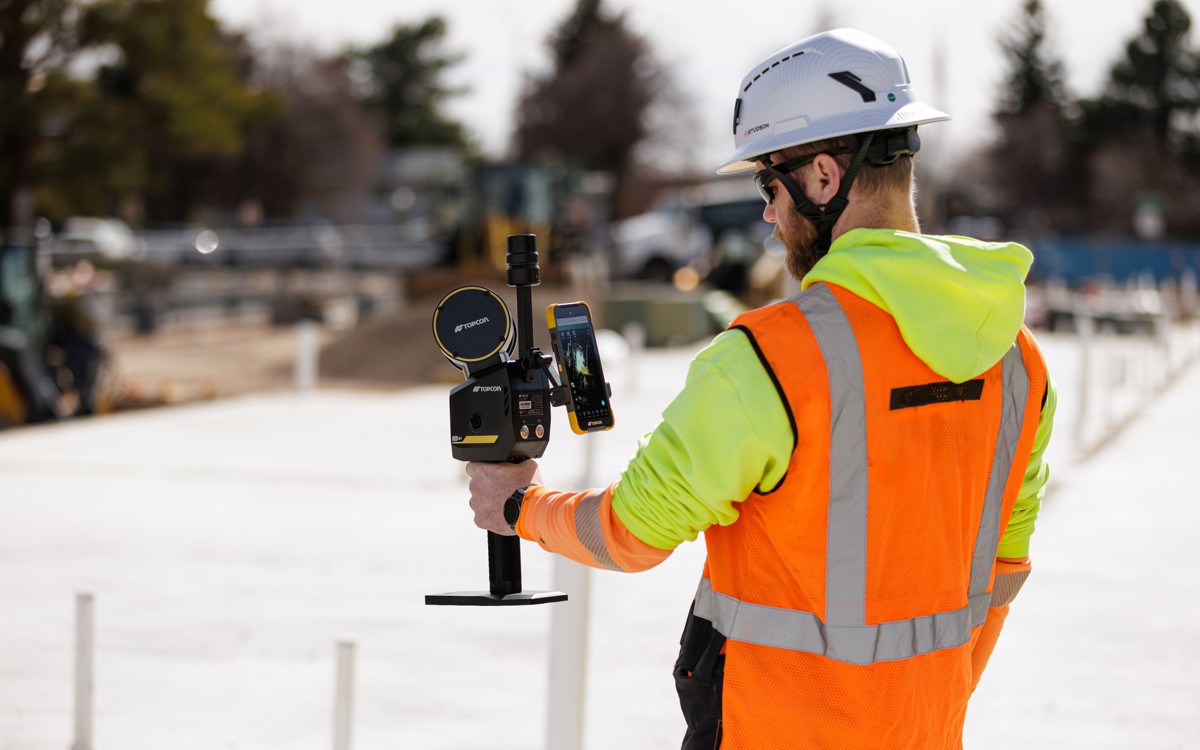
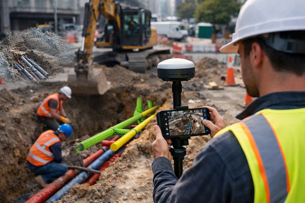
The equipment used for topographical surveys typically includes a total station, GPS receiver, and a data collector.
How to read a topographic survey
To read a topographic survey, start by understanding the contour lines that represent changes in elevation. The closer the lines are together, the steeper the terrain. Look for symbols and labels that indicate natural and man-made features like rivers, roads, and buildings. Pay attention to the scale and orientation of the map, and use the legend to interpret any other symbols used.
How can SOCOTEC UK support your project with a topographic survey?
SOCOTEC UK is a trusted provider of topographical survey services, offering accurate and timely surveys for all types of projects. SOCOTEC has technical experts in the field that are on hand to support you with your topographical survey needs. Contact us to find out more.


