Rewiring Earth Observation AI for Scalable Land Intelligence
Earth Observation has quietly become one of the most strategically important data sources in the global economy. From precision agriculture and climate risk modelling to supply chain visibility and infrastructure monitoring, satellite constellations now generate petabytes of high-frequency, high-resolution imagery and sensor data every day. Yet for all that abundance, a stubborn gap remains between access to raw imagery and the delivery of reliable, decision-ready intelligence inside operational workflows.
Now Aspia Space has selected Stelia as a strategic technology partner to advance the architecture underpinning its Earth Observation-derived data products. The collaboration is not simply about faster processing. It addresses a structural challenge facing the geospatial sector: how to transform vast volumes of complex satellite data into business-ready land intelligence at scale, without compromising speed, cost control, governance or trust.
As industries increasingly depend on spatial insight for risk assessment, regulatory reporting and operational optimisation, Earth Observation is evolving from an analytical add-on into core digital infrastructure. That shift demands AI systems that are robust, adaptive and economically viable at global scale.
The Scale Problem Behind the Satellite Boom
The number of satellites in orbit has risen dramatically over the past decade. Commercial operators such as Planet, Maxar and Airbus, alongside public missions under the European Union’s Copernicus programme and NASA’s Earth science initiatives, now supply imagery at unprecedented temporal and spatial resolution. According to the European Space Agency, the volume of Copernicus Sentinel data alone amounts to several terabytes per day, freely available to users worldwide.
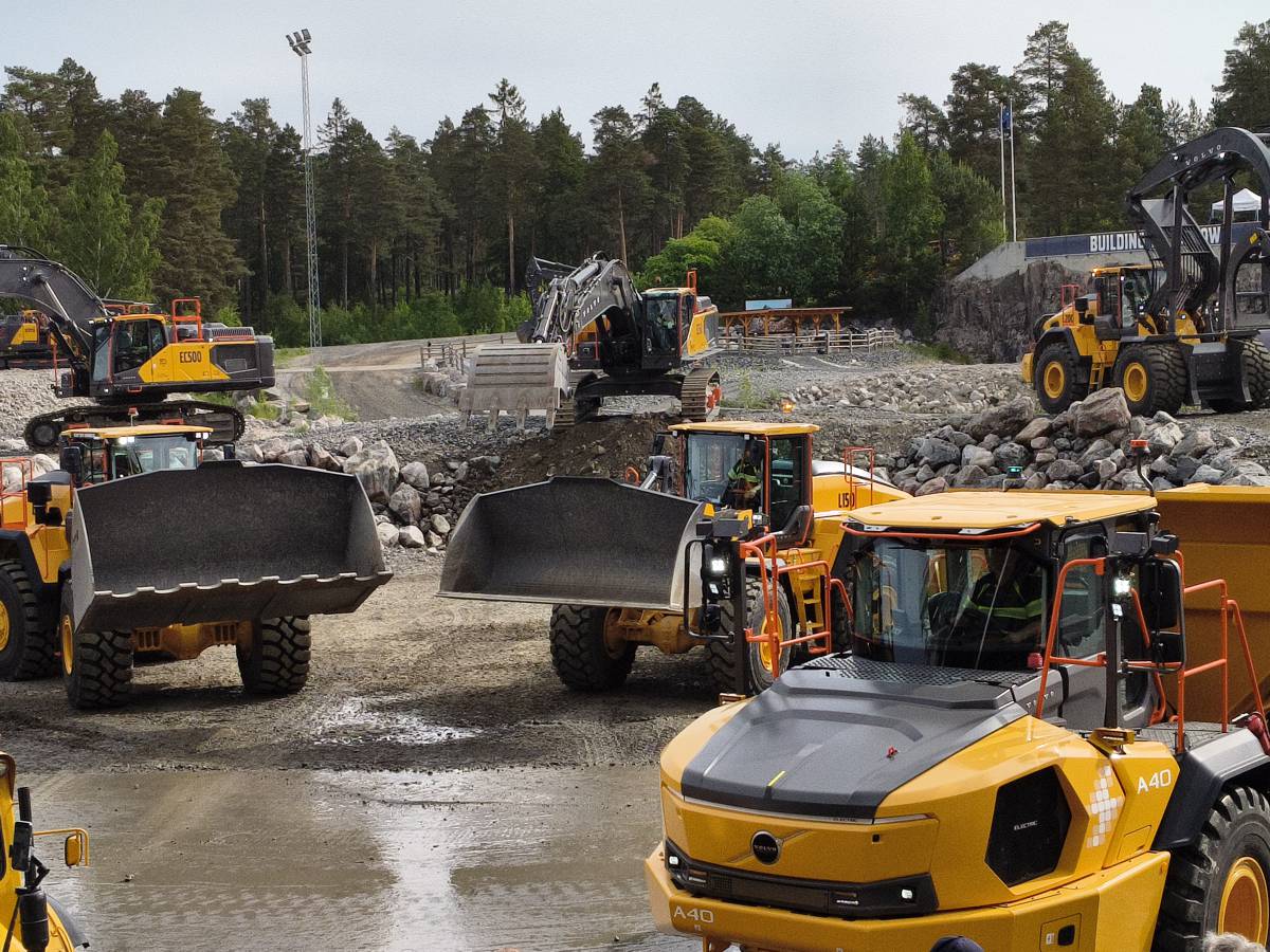
However, access does not equal usability. Processing petabyte-scale datasets requires significant compute capacity, sophisticated machine learning pipelines and disciplined data governance frameworks. In practice, many organisations struggle to operationalise satellite insight because legacy systems were never designed for sustained AI workloads at this magnitude.
The result is often fragmented insight. Different departments rely on separate models or partial datasets. Latency creeps in as data moves between platforms. Confidence suffers when outputs are inconsistent or poorly documented. For financial services firms assessing climate exposure, agricultural businesses tracking biomass variation or public authorities evaluating environmental compliance, that inconsistency can translate directly into risk.
By partnering with Stelia, Aspia is aiming to tackle this structural bottleneck head-on. The objective is to accelerate the transformation of raw satellite data into business-ready land intelligence for sectors including financial services, agriculture, supply chain and the public sector, while improving efficiency, reliability and performance as its proprietary AI output scales globally.
Engineering AI for Data-Intensive Environments
At the heart of the collaboration is a focus on architecture rather than isolated models. Delivering targeted, decision-ready insight into operational workflows requires more than clever algorithms. It demands a high-performance AI backbone capable of continuous model refinement, secure data handling and compliance with evolving regulatory frameworks.
Chris Roberts, Chief Technology Officer at Aspia, framed the challenge clearly: “Until now, AI workloads delivering reliable and trustworthy insights from petabyte-scale Earth Observation datasets have been prohibitive, both in cost and speed. Stelia is redefining what is technically possible – allowing the creation and refinement of new models to scale with the speed and sustainability this market demands.”
That statement reflects a broader industry reality. Training and deploying AI models across massive geospatial datasets can incur substantial computational expense. According to research from the International Energy Agency, data centres already account for roughly 1 percent of global electricity demand, with AI workloads contributing a growing share. As demand for spatial analytics rises, efficiency and sustainability in AI processing are no longer optional extras.
Stelia’s role is to provide frontier AI architecture engineered for the most data-intensive environments. Rather than treating compliance, governance and scalability as afterthoughts, the systems are designed to embed these principles at the core. For enterprise customers operating under strict regulatory scrutiny, particularly in financial services and insurance, that architectural discipline can be decisive.
Kevin Smith, Chief Executive Officer of Stelia, described the strategic intent: “We engineer AI systems that give our partners a strategic advantage in the most data-intensive environments. They are purpose-built to accelerate product development, adapt to regulatory change, and scale with demand. Partnering with Aspia gives us a chance to apply this approach to one of the most important data frontiers: space, with a company operating at the forefront of the industry.”
Why This Matters for Construction and Infrastructure
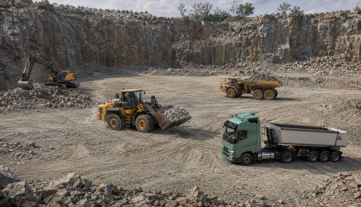
For readers in the construction, infrastructure and transport sectors, the implications are tangible. Land intelligence derived from satellite data increasingly informs site selection, environmental impact assessments, asset monitoring and climate resilience planning. Governments and private investors alike are under pressure to demonstrate compliance with environmental regulations, biodiversity protections and carbon reporting standards.
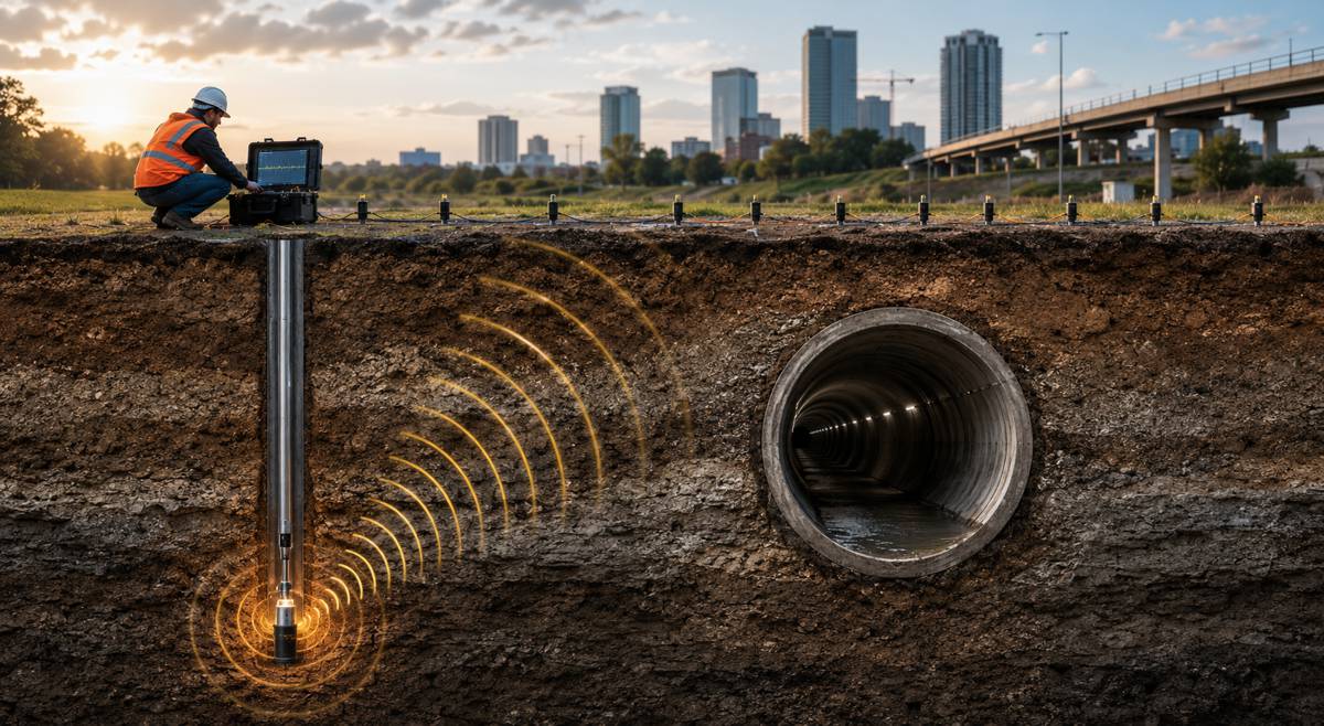
High-resolution satellite analysis can identify vegetation stress, track land-use change, detect encroachment and monitor progress across large-scale infrastructure corridors. In regions prone to flooding or wildfire, near real-time Earth Observation data supports disaster risk modelling and insurance assessment. For logistics and supply chain operations, satellite insight can reveal port congestion, crop yields or disruptions along transport routes.
Yet integrating that intelligence into day-to-day operational systems has been technically and economically challenging. When outputs are delayed or unreliable, confidence erodes and decision-makers revert to traditional, slower methods. By focusing on scalable AI architecture, Aspia and Stelia are addressing a core enabler for mainstream adoption of geospatial intelligence in infrastructure workflows.
In practical terms, that could mean more consistent crop health analytics feeding into agri-finance risk models, more reliable land-use monitoring supporting sustainable construction approvals, and more responsive disaster assessment data informing public sector interventions.
From Product Innovation to Platform Evolution
Aspia has already brought industry-facing innovations to market, including its ClearSky product, which reveals field variation, biomass changes and crop health trends. Such capabilities are valuable in precision agriculture and environmental monitoring, where subtle shifts in vegetation indices can signal yield risk or ecological stress.
However, scaling these products globally requires more than incremental upgrades. As customer use cases evolve, AI models must be retrained, validated and deployed across diverse geographies and data conditions. Climatic variability, sensor differences and regulatory contexts all influence performance.
By challenging long-standing technical constraints in high-performance AI systems, the partnership aims to preserve agility. That adaptability is essential for maintaining competitive advantage in a rapidly expanding Earth Observation market. According to industry analyses by Euroconsult, the commercial Earth Observation sector is projected to continue robust growth this decade, driven by demand for analytics rather than raw imagery alone.
In this environment, companies that can reliably convert data into decision-grade intelligence at scale are likely to capture disproportionate value. The collaboration positions Aspia to unlock a new generation of data-native, AI-enhanced space products operating at global scale.
Governance, Standards and Responsible AI
Another critical dimension is governance. As satellite-derived intelligence influences financial decisions, insurance underwriting and public policy, transparency and accountability become paramount. Regulators across Europe and beyond are tightening oversight of AI systems, with frameworks such as the EU AI Act setting expectations for risk management, documentation and human oversight.
Embedding compliance into AI architecture from the outset reduces the risk of costly retrofits later. It also strengthens trust among enterprise customers who must justify how algorithmic outputs inform high-stakes decisions. In the context of environmental reporting and climate risk disclosure, the provenance and reliability of data can be as important as the insight itself.
The collaboration also signals an intention to shape technical standards and responsible AI practices across the space and intelligence ecosystem. As satellite analytics become mainstream infrastructure inputs, the industry will need shared benchmarks for accuracy, explainability and performance.
A Strategic Inflection Point for Space Data
The timing of the partnership is significant. The satellite and space data industry stands at a pivotal juncture. While the supply of imagery continues to expand, commercial differentiation increasingly depends on analytics, integration and workflow compatibility.
Integrating satellite-derived data into operational systems remains one of the most valuable yet technically demanding opportunities across industries. For insurers modelling disaster exposure, for agricultural investors assessing crop resilience, and for public authorities monitoring environmental compliance, dependable spatial intelligence is no longer optional.
By combining geospatial domain expertise with advanced AI architecture, Aspia and Stelia are targeting a core constraint in the sector’s evolution. If successful, the collaboration could help shift Earth Observation from a specialist analytical resource to a foundational layer of digital infrastructure underpinning construction, infrastructure, agriculture and finance.
For the global construction and infrastructure ecosystem, that shift matters. Reliable land intelligence reduces uncertainty, informs capital allocation and strengthens resilience planning. In an era defined by climate volatility, supply chain fragility and regulatory scrutiny, better data is not a luxury. It is a competitive necessity.