


Geo Connect Asia 2026 Uniting Data and Infrastructure Delivery The sixth edition of Geo Connect Asia 2026 ...
-
Geo Connect Asia 2026 Uniting Data and Infrastructure Delivery

Geo Connect Asia 2026 Uniting Data and Infrastructure Delivery
-
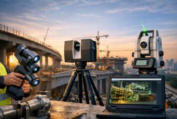
Mapping the Future of Infrastructure at GEO Business 2026

Mapping the Future of Infrastructure at GEO Business 2026
-
Geo Week 2027 Moving to Salt Lake City to Accelerate Geospatial Innovation
Geo Week 2027 Moving to Salt Lake City to Accelerate Geospatial Innovation
-
Topcon And GSSI Integrate Ground Penetrating Radar With GNSS Mapping
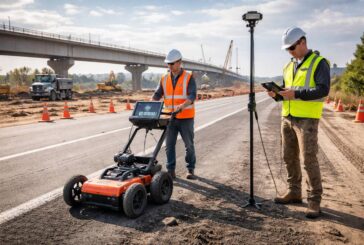
Topcon And GSSI Integrate Ground Penetrating Radar With GNSS Mapping
-
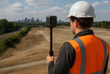
Topcon CR S1 Brings Everyday Reality Capture to Infrastructure Workflows
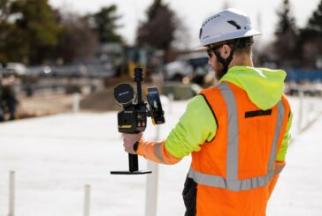
Topcon CR S1 Brings Everyday Reality Capture to Infrastructure Workflows
-
From Trenches to Digital Twins as Field Reality Capture Enters the Enterprise GIS
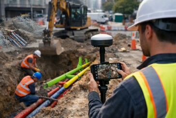
From Trenches to Digital Twins as Field Reality Capture Enters the Enterprise GIS
-
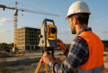
GEO Business 2026 Sets the Stage for Geospatial Leadership

GEO Business 2026 Sets the Stage for Geospatial Leadership
-
Esri Achieves ISO 27001 Certification for Infrastructure Data Security

Esri Achieves ISO 27001 Certification for Infrastructure Data Security
-
FARO CREAFORM and FARO INSIGHT Redefine Measurement and Scanning
FARO CREAFORM and FARO INSIGHT Redefine Measurement and Scanning
-
Esri’s New Book Outlines Geospatial Intelligence for Safer and Fairer Outcomes
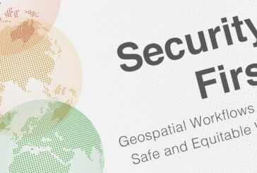
Esri’s New Book Outlines Geospatial Intelligence for Safer and Fairer Outcomes
-
Gilat Earth Observation Satellite Solution Driving Critical Connectivity
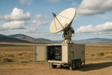
Gilat Earth Observation Satellite Solution Driving Critical Connectivity
-
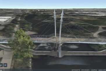
A New Global View Of The Built Environment

A New Global View Of The Built Environment
-
Looq AI Expands Global Partnerships to Accelerate Reality Capture
Looq AI Expands Global Partnerships to Accelerate Reality Capture
-
AI and Smarter Mapping to Transform Global Environmental Land Monitoring
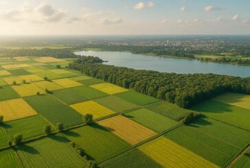
AI and Smarter Mapping to Transform Global Environmental Land Monitoring
-
South Africa and Global Leaders Spotlight Sustainable Progress at Big 5 Global

South Africa and Global Leaders Spotlight Sustainable Progress at Big 5 Global
-
Cesium Expanded with Reality Modelling and Immersive Digital Twins
Cesium Expanded with Reality Modelling and Immersive Digital Twins
-
Bentley’s 2025 Going Digital Awards Celebrate Real‑World Impact

Bentley’s 2025 Going Digital Awards Celebrate Real‑World Impact
-
Topcon Elevates Geomatics with New Global Business Structure
Topcon Elevates Geomatics with New Global Business Structure
-
Esri’s New Book Unlocks the Power of Artificial Intelligence in GIS
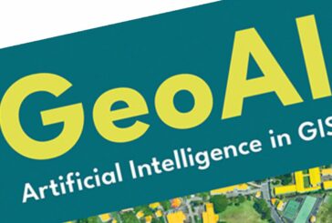
Esri’s New Book Unlocks the Power of Artificial Intelligence in GIS
-
Trimble Dimensions 2025 to Bring the Future of Work to Las Vegas

Trimble Dimensions 2025 to Bring the Future of Work to Las Vegas