


Mapping the Future of Infrastructure at GEO Business 2026 The growing reliance on location intelligence a ...
-
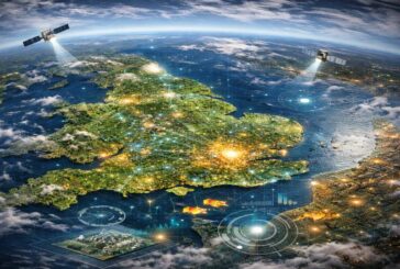
Mapping the Future of Infrastructure at GEO Business 2026

Mapping the Future of Infrastructure at GEO Business 2026
-
Geo Week 2027 Moving to Salt Lake City to Accelerate Geospatial Innovation
Geo Week 2027 Moving to Salt Lake City to Accelerate Geospatial Innovation
-
Top 5 Technologies for Preventing Underground Utility Strikes
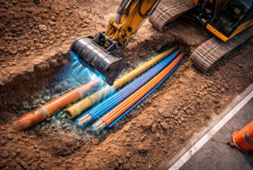
Top 5 Technologies for Preventing Underground Utility Strikes
-
Esri Expands GIS Knowledge Access Through Direct Ebook Distribution

Esri Expands GIS Knowledge Access Through Direct Ebook Distribution
-
Topcon CR S1 Brings Everyday Reality Capture to Infrastructure Workflows
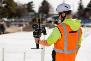
Topcon CR S1 Brings Everyday Reality Capture to Infrastructure Workflows
-
From Trenches to Digital Twins as Field Reality Capture Enters the Enterprise GIS
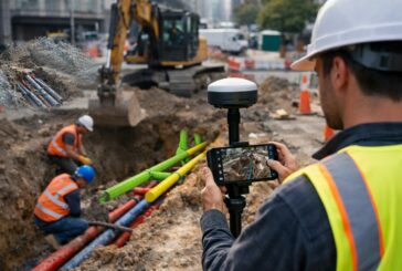
From Trenches to Digital Twins as Field Reality Capture Enters the Enterprise GIS
-
GEO Business 2026 Sets the Stage for Geospatial Leadership
GEO Business 2026 Sets the Stage for Geospatial Leadership
-
Esri Achieves ISO 27001 Certification for Infrastructure Data Security

Esri Achieves ISO 27001 Certification for Infrastructure Data Security
-
Automating Nautical Charts and Maritime Safety Digital Workflows
Automating Nautical Charts and Maritime Safety Digital Workflows
-
Esri’s New Book Outlines Geospatial Intelligence for Safer and Fairer Outcomes
Esri’s New Book Outlines Geospatial Intelligence for Safer and Fairer Outcomes
-
The Innovative Future of Winter Maintenance

The Innovative Future of Winter Maintenance
-
ADB Backs Smart, Resilient Towns in Sikkim with $179m Investment

ADB Backs Smart, Resilient Towns in Sikkim with $179m Investment
-
Esri Charting the Future with ArcGIS Maritime for Hydrographic Intelligence
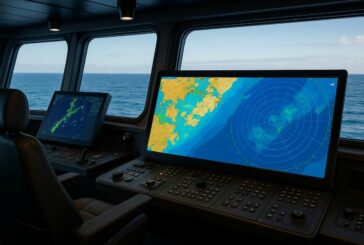
Esri Charting the Future with ArcGIS Maritime for Hydrographic Intelligence
-
Building the Future with Trimble’s 2026 Industry Outlook
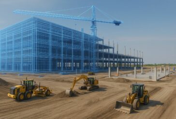
Building the Future with Trimble’s 2026 Industry Outlook
-
Topcon Elevates Geomatics with New Global Business Structure

Topcon Elevates Geomatics with New Global Business Structure
-
Esri’s New Book Unlocks the Power of Artificial Intelligence in GIS
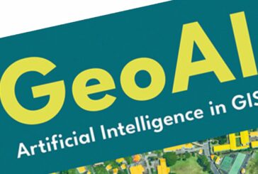
Esri’s New Book Unlocks the Power of Artificial Intelligence in GIS
-
Intelligent Technologies Transforming Demolition Waste Management
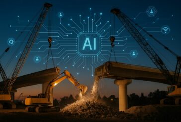
Intelligent Technologies Transforming Demolition Waste Management
-
Mapping Sanitation Gaps in India Sparks Global Framework for Change

Mapping Sanitation Gaps in India Sparks Global Framework for Change
-
Esri MX Launches as Mexico’s New Geospatial Innovation Hub
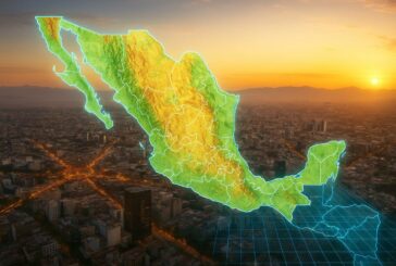
Esri MX Launches as Mexico’s New Geospatial Innovation Hub
-
Bridging the Digital Divide in Maine with Smart Mapping and Community Outreach
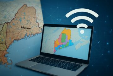
Bridging the Digital Divide in Maine with Smart Mapping and Community Outreach