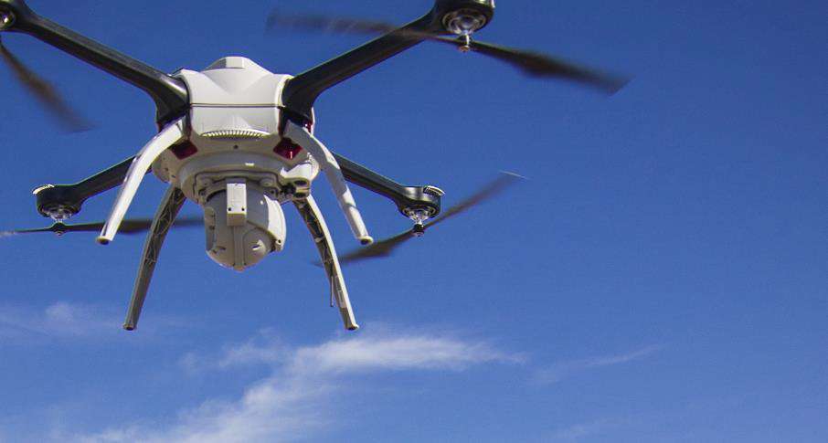
Aerial drones to inspect and survey water
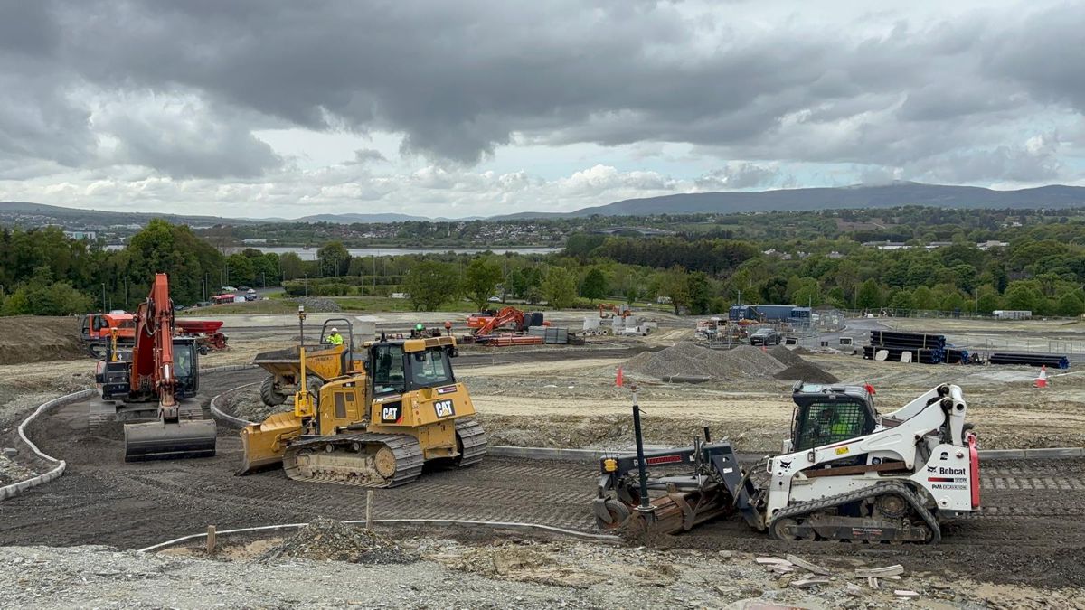
Barhale, one of Britain’s largest privately-owned infrastructure specialists has announced an alliance with Anglian Water. The civil engineering company will spend £1.3m over five years with the drone specialist Geocurve to inspect and survey major infrastructure networks and treatment works as well as help tackle flooding, improve water quality and the maintenance of current assets.
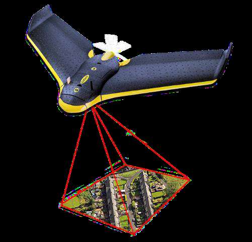
Geocurve Ltd are specialist surveyors and UAV/UAS operators. They use remotely operated drones for support site engineering, surveying, GIS database, 3D modelling, airborne surveillance and hydrographic modelling. The partnership has been hailed as ground-breaking by Tony Dunleavy, CEO of Strat Aero PLC, Geocurve’s US parent. Tony said “We firmly believe this market is set to grow exponentially in the years ahead as UAVs transform business practices and provide considerable cost savings to customers across a diverse range of sectors.”
In the US drones are becoming more common for survey work and construction support and this trend looks like it will be one to watch.