Leica BLK3D imager powers real-time 3D measurement for visual construction
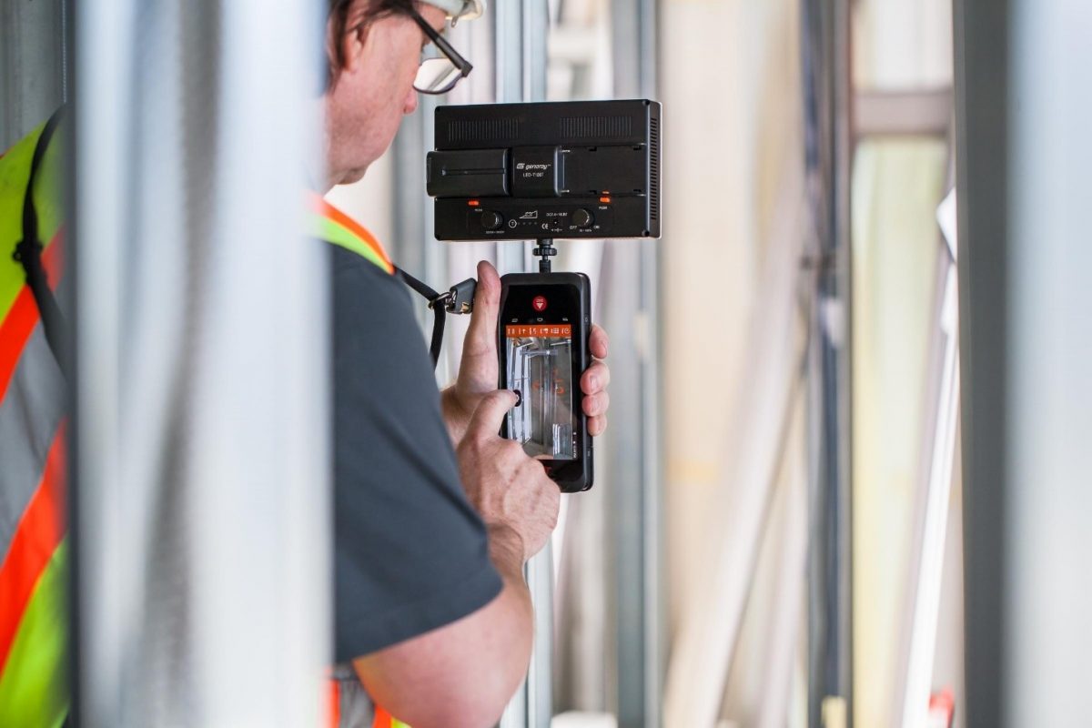
Multivista has launched 3D Images as part of its suite of documentation services for the construction industry. The service will be powered by the Leica BLK3D, which is a handheld 3D imager that allows real-time, professional grade, in-picture 3D measurement.
Like its construction photo documentation service, Multivista will offer 3D Images as a full service, and support both the data capture and the data management.
“Multivista enables our customers to see behind walls, in slabs, beneath floors, and underground through our documentation services,” said Russ Bollig, global product manager for the BLK3D at Multivista. “Now, with 3D Images, our customers will be able to accurately measure what they see in captured images . It’s an industry-changing capability.”
Construction photo documentation captures critical milestones of building sites so they can be used as a reference at any point by contractors, developers and owners, architects, and facilities managers. Multivista’s precise 3D Images service provides measurement information at critical stages of construction and enables high-accuracy planning for completed spaces.
This is especially beneficial for complex building and renovation projects during construction, for documenting mechanical, electrical and plumbing (MEP), pre-slab, and underground utilities, such as hydronic heating. Customers can also use 3D Images with finished conditions for space planning or identifying in-wall systems ahead of a renovation or repurpose of space, helping to avoid costly destructive verification methods.
The BLK3D employs a unique combination of a calibrated stereo-camera, advanced algorithms and real-time edge computing fused with leading Electronic Distance Measurement (EDM) technology, meaning accuracy within millimeters can be achieved by Multivista’s 3D Images service. By enabling precise measurement of 3D dimensions on a 2D photo, Multivista can bridge the gap between overly simple, inaccurate techniques (tape measure, estimation) and accurate but more expensive and complex data capture methods, such as laser scanning.
Each 3D image is a momentary, complete and precise record of everything seen within the image, enabling Multivista to offer measurement in the image in real time or creation and confirmation of additional measurements at any point thereafter.
Multivista’s 3D Images service will be offered throughout the company’s 77 global markets throughout the year.


