
Esri’s new book helps Public Safety Agencies get started with GIS Technology
When a winter storm battered a major city in the southwestern US and left millions in the community without power or drinking water, emergency responders relied on geographic information system (GIS) technology to quickly locate those most in need and dispatch services.
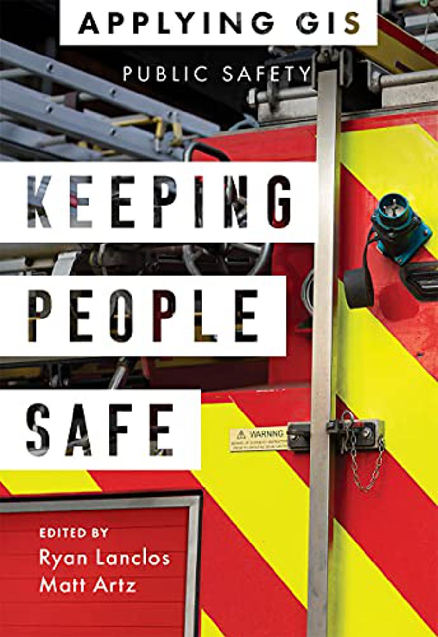
GIS has become a mission-critical asset in government and businesses across the US and many parts of the world. In the newly released Keeping People Safe: GIS for Public Safety, experts explore some of the ways communities are leveraging smart maps, online dashboards, and location data analysis tools to identify and mitigate risk.
The book, published by Esri, the global leader in location intelligence, is a compilation of case studies and strategies from law enforcement, fire departments, rescue and emergency medical teams, and other agencies that manage complex conditions, threats, and hazards. Geographic data helps decision-makers develop a better understanding of their communities and policies that can best serve them. GIS integrates and analyzes these and a range of other relevant statistical information and organizes the data in dynamic maps and dashboards.
Keeping People Safe describes how spatial science shapes the work of dispatchers, first responders, and other organizations that need accurate data to find and efficiently travel to a destination quickly. In addition to its value for navigation, GIS technology is also used in urban planning and policy making, data-driven decision-making for commerce, and for greater awareness of changing conditions. The new book also includes a section that outlines how public safety agencies can get started with GIS, providing ideas, strategies, tools, and suggested actions that they can take to build location intelligence into decision-making and operational workflows.
Keeping People Safe: GIS for Public Safety is available in print and as an ebook. Both editions can be obtained from most online retailers worldwide. The print edition is also available for purchase at esri.com/esripress. If outside the United States, visit esri.com/esripressorders for complete ordering options.