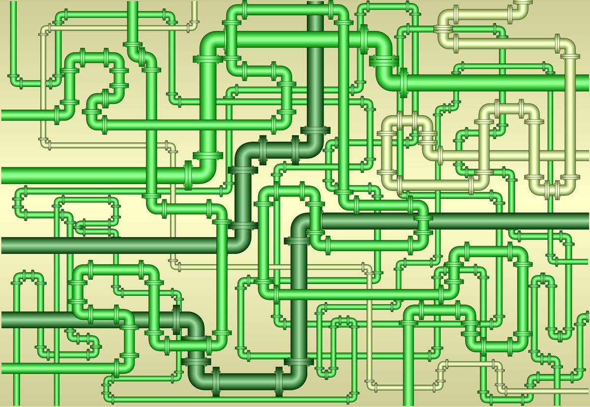
Subsurface Utility Mapping Tools to map Subsurface Infrastructure
Subsurface utility mapping basically involves designing, assessing, and relocating utilities. It also involves the communication of utility mapping information to interested parties.
The use of SUM has become more widespread across the globe in a bid to minimize the risk of damaging underground utilities that could lead to construction delays.
Why is subsurface utility mapping needed?
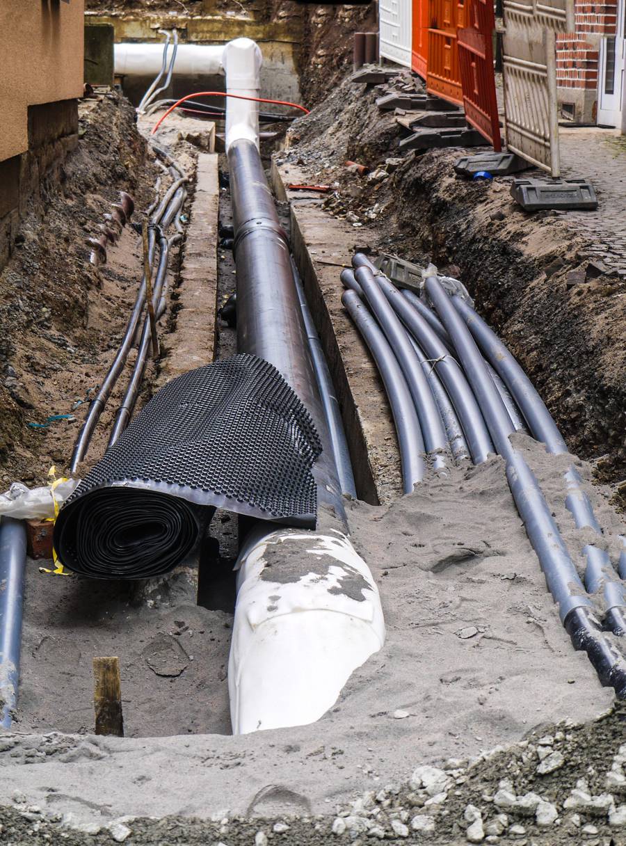
One of the biggest challenges construction projects face before they get started is utility lines. If a utility line is not where it’s supposed to be, this can lead to significant delays in the project. It could also increase the cost of the project significantly. Fortunately, SUM can address this and many more issues.
The benefits of subsurface utility mapping cannot be overstated. Here are some of the reasons why it’s important to survey areas to map underground utilities:
- For the safety of everyone involved in the project
- To eliminate guesswork because you know exactly where the utility lines are
- Avoid unnecessary costs of repairing damaged lines
- Eliminates the risk of being sued for damaging utilities
- The smooth running of the project because you have removed a huge obstacle your way. You’ll meet the deadline
Best technology to use to avoid damaging underground infrastructure
Engineers usually use non-destructive surface methods to detect subsurface utilities and mark their approximate locations on the surface. The utility lines are then exposed and their precise locations marked either on GIS maps or CAD drawings.
Some of the utility maps provided by the government could be inaccurate or incomplete. Private utilities further complicate matters. You’re advised to invest in SUM technology before getting started on your construction to avoid accidental injury, death, or destruction of property.
Modern SUM tools prevail in preventing the destruction of underground infrastructure. Here are some of the tools you should invest in if you’re looking to have an accurate map of underground utilities:
1. Ground-Penetrating Radar (GPR)
This is a non-invasive subsurface imaging technology that works by scanning the ground. It emits electromagnetic waves in MHz and GHz frequency range. The signals are highly directional and undergo minimal interference from overlying layers. A signal is sent back, providing a useful insight into underlying assets.
GPR technology is the most commonly used and can help detect both
metallic and non-metallic utilities. The main reasons for its popularity are its high speeds, high resolution, and lower operation cost. Some factors affecting its accuracy are depth and soil moisture content.
2. Electromagnetic Induction
EMI is an alternative to GPR and is mostly used when the penetration depth exceeds two meters or when the soil moisture content is too high. While EMI can only locate metallic utility lines, it’s up to five times faster than GPR. This makes it ideal for surveying larger areas with metallic lines and limited electromagnetic interference.
The instrumentation is deployed along with differential GPS providing for subsurface mapping. A transmitter supplies an electric current to induce a primary magnetic field. A receiver is set to the same frequency to observe deflections of magnetic fields and locate subsurface utilities.
3. Radio Frequency Identification (RFID ) Technology
This provides project managers with a cost-effective way of subsurface mapping. RFID enables users to mark, locate, and manage assets with high precision. It accurately identifies the utility lines’ location and describes the type of utility present.
Summary
Even if you want to get started on your project as soon as possible, the SUM survey is an important step that shouldn’t be skipped. It’s important that you get an accurate and complete underground utility map before the project begins. You avoid so many challenges that come with subsurface utilities. Conventional wisdom says that prevention is always better than cure.