AEye and Intetra introduce LiDAR-based Automated Tolling Solution
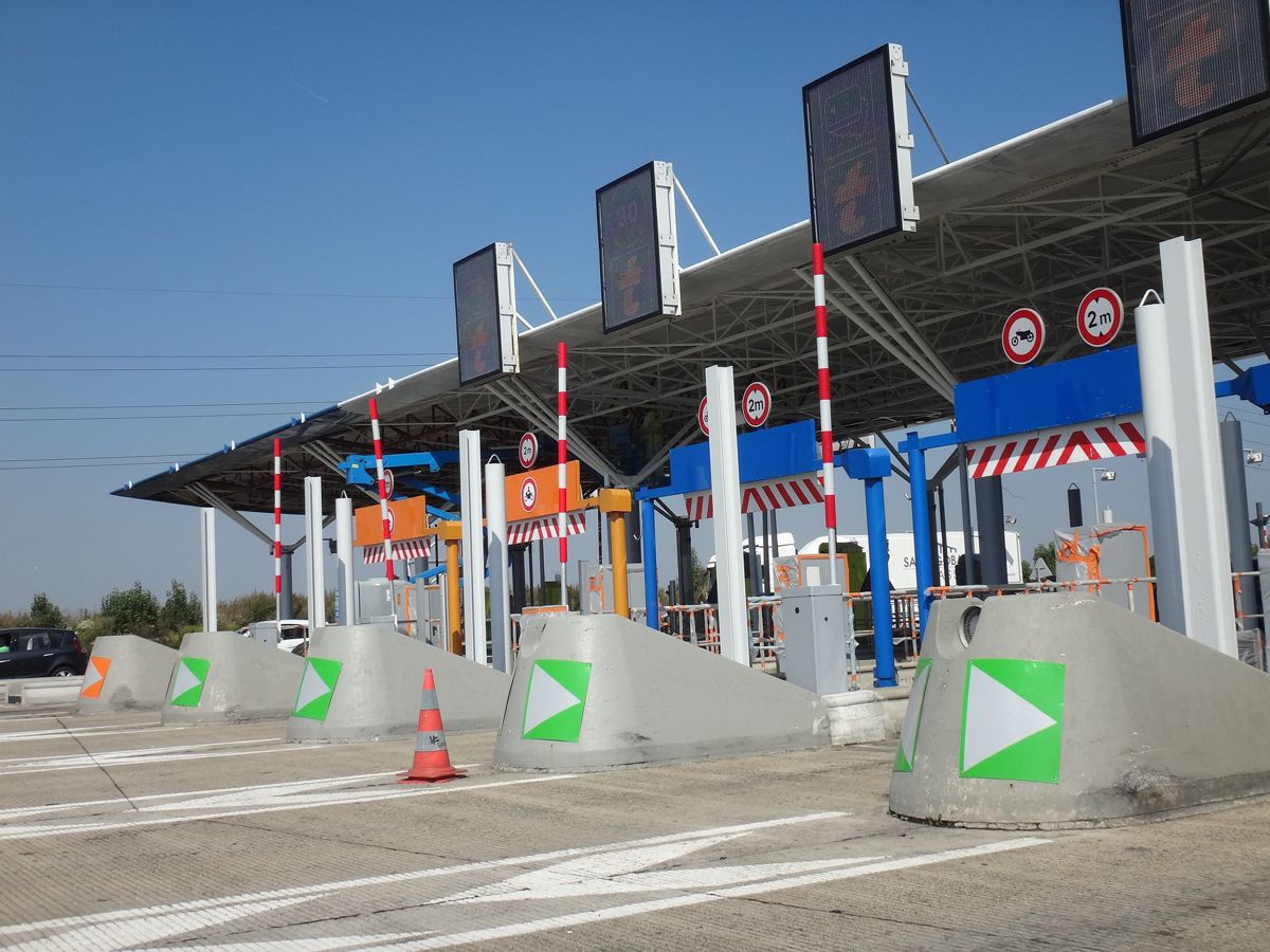
AEye, Inc., a global leader in adaptive, high-performance lidar solutions, and Intetra, a premier provider of end-to-end solutions for Intelligent Transportation Systems (ITS) and Electronic Toll Collection Systems (ETC), announced the development and deployment of their state-of-the-art lidar-based tolling solution.
The automated tolling system, powered by AEye’s 4Sight™ Intelligent Sensing Platform, provides greater reliability at a lower cost over inductive loop systems and other above-ground detection modalities, including camera and radar. Intetra is deploying the new automated tolling system in Turkey and Kazakhstan, with the intention of expanding the relationship to include other ITS applications and geographies globally.
“This lidar-based tolling system is truly ground-breaking. It leverages AEye’s software-defined architecture to provide accurate, real-time detection, and generate actionable and precise data to support automated tolling,” said Intetra CTO Recep Bahar. “Not only that, it’s easy to install, operate, and maintain – a huge time and cost savings realized over previously installed inductive loop systems, which required cutting into pavement and re-routing traffic to make improvements.”
Fast, Accurate Perception
AEye and Intetra’s lidar-based tolling solution is designed to improve real-time data collection, ensuring better, more accurate information is used to drive decisions and avoid revenue leakage. It does this by leveraging 4Sight’s software-configurable architecture and edge intelligence to better locate, identify, and track objects over time. AEye has also created a library of performance modes to accommodate virtually any tolling system needs and optimize for them.
These performance modes deliver accurate, high-resolution, long-range 3D point clouds at high frame rates, providing the precision and data needed to detect and classify vehicles within the given road boundaries.
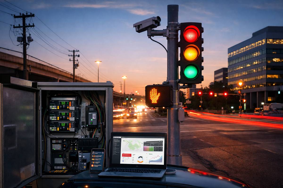
The solution can provide data for up to eight lanes of traffic per sensor, collecting information such as vehicle speed, trajectory, type classification, tagging, dimensions, and time stamp, without false or missed detections due to adverse weather conditions. This is a significant improvement over current systems, which may miss vehicles that are traveling at high speed or making last-second lane changes.
Significant Cost Savings
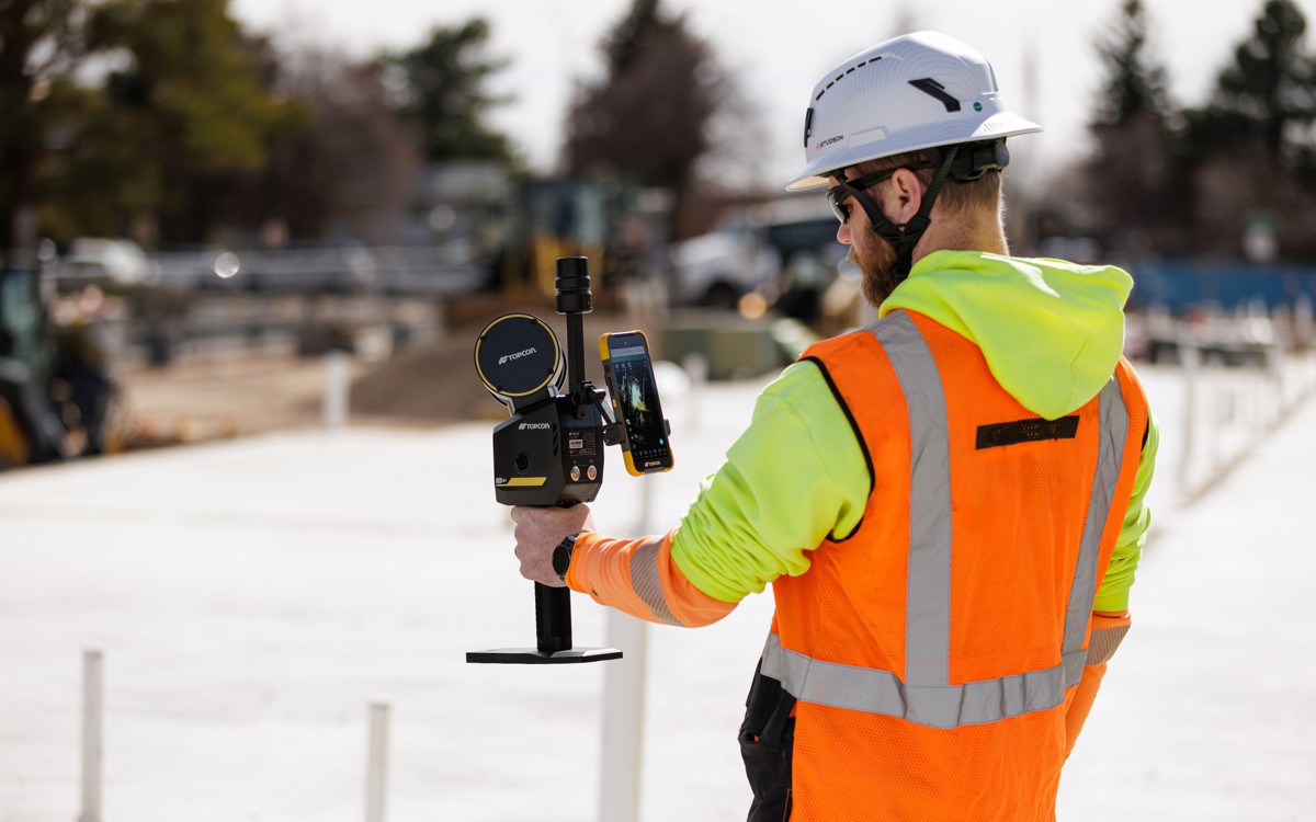
The lidar-based tolling system also offers significant cost savings. Unlike inductive loop systems, which necessitate cutting into the pavement and re-routing traffic for installation and maintenance, the lidar-based system is mounted on gantries or traffic poles and is software-configurable. This makes the lidar-based system much faster, easier, and less costly to install, upgrade, and service, while an open SDK ensures flexible integration and low maintenance cost. Furthermore, the system is highly versatile regarding sensor height, pitch angle, number of lanes, and types of data extracted.
Due to the software-configurability of the system, Intetra is able to manage all traffic counting and classification using one sensor, resulting in additional savings. Customers achieve better accuracy with just one lidar at the top of a gantry. The outcome is an integrated tolling solution that achieves optimal performance for any tolling use case, and delivers a level of efficiency and safety not possible with cameras alone.
“We are incredibly proud of the solution we co-developed and are deploying globally with Intetra,” said Baris Sarac, Director of Business Development, Europe ITS & Smart Mobility at AEye. “AEye’s software-configurable lidar solution uniquely provides the ultimate flexibility and longevity for automated tolling applications, allowing for over-the-air system upgrades and optimized performance, all within a single architecture.”
Lidar is the only deterministic sensor that provides the specific data needed for ITS applications due to its ability to precisely determine vector and velocity to establish where an object is going. AEye goes a step further, providing a software-definable lidar that enables the customization of scanning capabilities for any ITS application. That translates into a single lidar sensor providing all traffic counting and classification data to controllers, and doing so with greater accuracy than existing inductive loop and above-ground detection systems, including camera and radar.
Built on AEye’s award-winning 4Sight platform, 4Sight M is the first and only lidar solution whose performance has been independently verified by a reputable third-party testing organization. VSI Labs, the leading active safety and automated vehicle technologies researcher, published a report confirming 4Sight M’s breakthrough range, resolution, and speed capabilities.


