Wejo is supporting Intelligent Transportation through Connected Vehicle Data
Imagine a world where data that can drive real change for a safer, more sustainable future is at the fingertips of civil engineers and Departments of Transportation. This data is already here – in vehicles on the road every day. With millions of cars collecting several petabytes of data from billions of journeys, connected vehicles are the next big data center providing critical insights needed to improve sustainability, safety, and traffic in communities around the world.
Legislators are pushing for deployment of more connected vehicles as there are key learnings and real-time insights from connected vehicle data (CVD) that play an active role in helping to reduce crashes and address the rising number of traffic deaths in the U.S. This federal priority proves that CVD can empower key decision makers to leverage the broad range of capabilities from these insights.
Meanwhile, as the nation continues to learn the advantages of connected vehicles, Wejo, a global leader in Smart Mobility for Good™, leverages its data to support intelligence transportation in several unique ways.
1.Providing Insights that enable organizations to see more than just one step ahead
From public to private organizations, Wejo’s CVD enables many influential sectors to prioritize and mitigate congestion, while maximizing infrastructure investment, easing delays and ensuring work zone safety to transform safety and efficiency for the future.
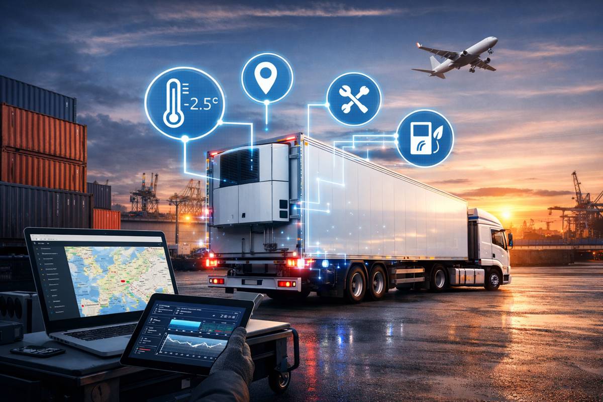
Automotive manufacturers use CVD to make informed decisions about products and services that build better, more resilient vehicles. Fleet and logistics companies use real-time insights to optimize logistics capabilities, gain a deeper understanding of urban areas and create a better driver experience. Departments of Transportation (DOTs) and civil engineering firms also use real-time insights to prioritize and improve urban infrastructure, reduce road incidents, ease traffic congestion and make mobility smarter and more sustainable.
“As more and more connected vehicles are coming online, we’ve seen firsthand how connected vehicle data can help city planners and DOTs make informed investment decisions to ease congestion and improve infrastructure,” said Angela Priest, senior vice president of strategy and innovation at Wejo.
2. Using real-time and historic data to improve traffic conditions and road safety
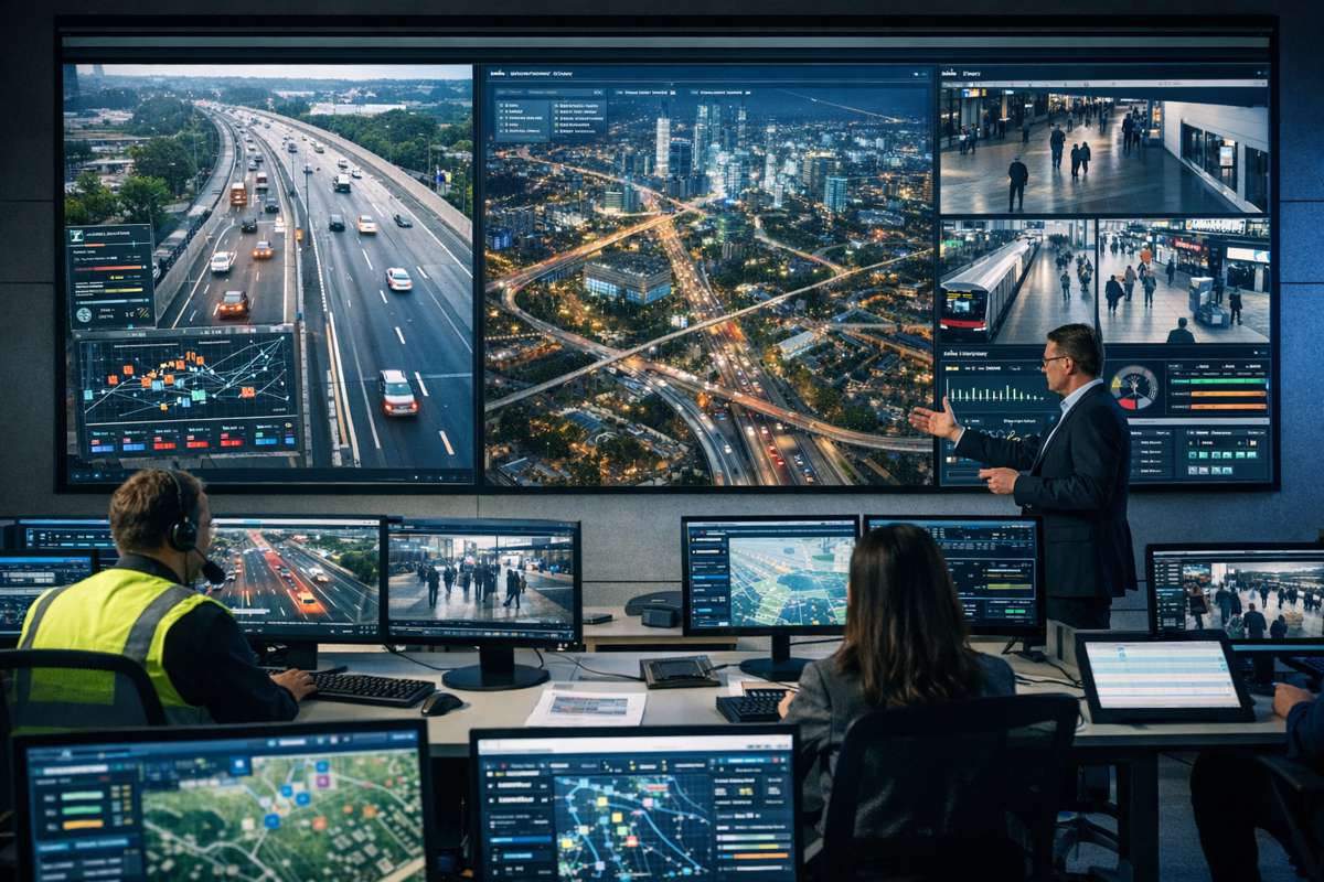
In 2022, Wejo launched Real-Time Traffic Intelligence (RTTI™), which provides an accurate, comprehensive and up-to-the-minute picture of traffic and road conditions at any given time to help improve overall efficiency and safety on road networks. RTTI’s live data is used by public agencies, civil engineering firms, mapping and navigation providers, and logistics companies to get a better view of road safety and congestion within a community by using easily digestible, real-time traffic data. For example, Roadside Telematics Corp. (RTC), the world’s leading provider of contextual vehicular emergency data, is leveraging RTTI™ to provide 9-1-1 first responders and emergency roadside assistance providers with access to real-time comprehensive traffic data through its RoadMedic® Next-Generation 9-1-1 (NG9-1-1) Intelligent Crash Data Ecosystem.
“By informing traffic management decisions backed by trillions of data points and millions of active vehicles from multiple manufacturers, connected vehicle data can take the guesswork out of traffic analysis, support accurate insights into driving patterns and road conditions and flag incident hotspots in real-time, producing less congested roads and fewer incidents,” added Priest.
Wejo also recently launched Historic Traffic Patterns, a solution that creates and distributes valuable insights accessible to anyone with minimal technical ability. Government agencies, civil engineering firms, mapping and retail organizations can use Historic Traffic Patterns to identify major mobility pain points from historical data and take a deeper look at real-road conditions, assess options for and the impact of traffic calming measures and road network changes, and improve traffic management in communities. Additionally, Historic Traffic Patterns provides coverage-dense insights into where and how cars move across any interstate highway, arterial roads and local streets.
3. Advancing the global shift to mass electric vehicle and autonomous vehicle mobility solutions
CVD empowers cities to understand the relationship between electric vehicle (EV) drivers and infrastructure and identify trends to inform policy decisions and keep pace with the federal government’s advancing electrification goals. These actionable insights help simplify how we view global issues (such as air quality and other environmental concerns) and make the solutions more achievable across industries.
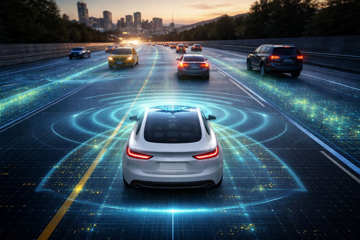
CVD is also propelling the autonomous vehicle (AV) agenda forward by providing insights to streamline AV development and remove barriers to widespread adoption. Wejo is developing DLIVEREE, an autonomous freight and delivery vehicle that will showcase AV-focused data and capabilities. Through Wejo’s Autonomous Vehicle Operating System (AVOS), DLIVEREE will help support development, testing and operations of AVs, leading the global adoption of autonomous mobility solutions.
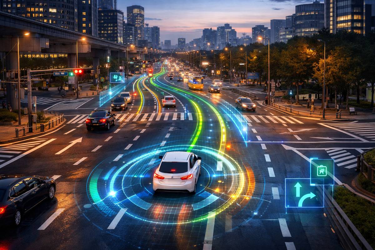
AVOS enables vehicles to anticipate the road ahead, providing AVs with intelligence about longer range conditions, growing connected vehicle and AV data, and edge and distributed infrastructure to reduce latency barriers. Using real-world data and intelligence from automated and human driving, AVOS produces simulations and modeling to support the development, testing and operation of AVs. AVOS will also develop vehicle and road networking digital twins that represent a common language for AVs to communicate and react to road conditions and other vehicles to move safely and efficiently alongside any vehicle.
All this exemplifies the power of connected vehicle data – and it’s just getting started. It will also inform opportunities for real estate investors and developers and unlock new insights for businesses in media and advertising to deliver more focused campaigns. CVD will help us understand when, where and how consumers travel and create omnichannel experiences to shape the future of retail. It will help unlock a deeper understanding of data in populated urban areas to create faster, more-efficient delivery routes, a better driver experience and faster delivery for customers. CVD will build usage-based insurance policies to reinvent the auto insurance and insurtech industry.
There are many ways connected vehicle data can be leveraged, and many more to be discovered. But more importantly, this data can have extensive positive impacts on society, bringing a future with cleaner air, clearer roads, and smoother in-car experiences – ultimately making citizens’ lives easier, better, and safer.


