Finding the Safest Routes in Cities with new Mapping Algorithm
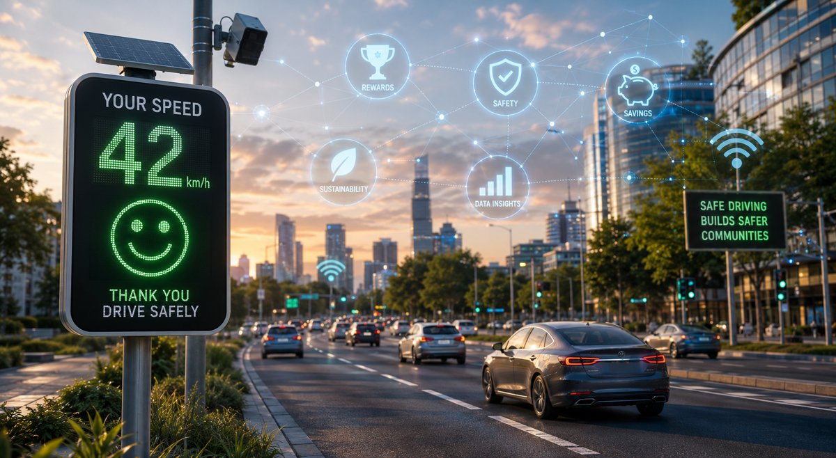
Most navigation apps can show you the fastest possible route to your destination and some can even suggest an eco-friendly route calculated to produce the least amount of carbon emissions. But what if they could also map the safest route with the lowest possible risk of a crash?
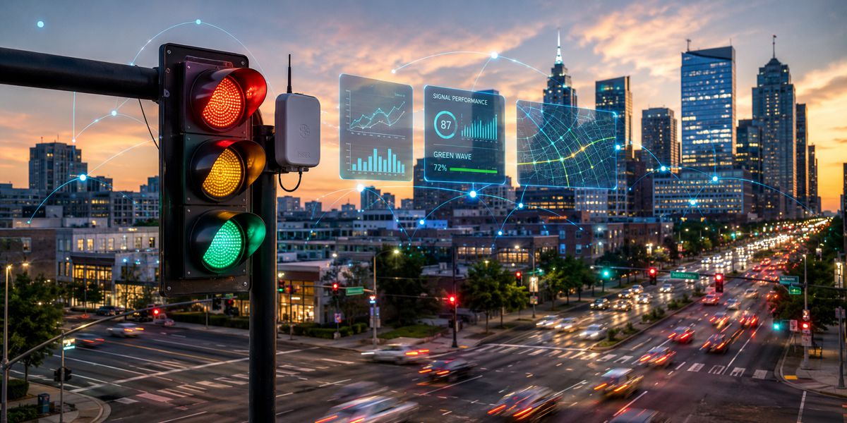
A new algorithm developed by UBC researchers could make this a reality. Led by Dr. Tarek Sayed, professor in the UBC department of civil engineering, and PhD student Tarek Ghoul, the group developed a new approach which identifies the safest possible route in an urban network using real-time crash risk data, and can be incorporated into navigation apps such as Google Maps.
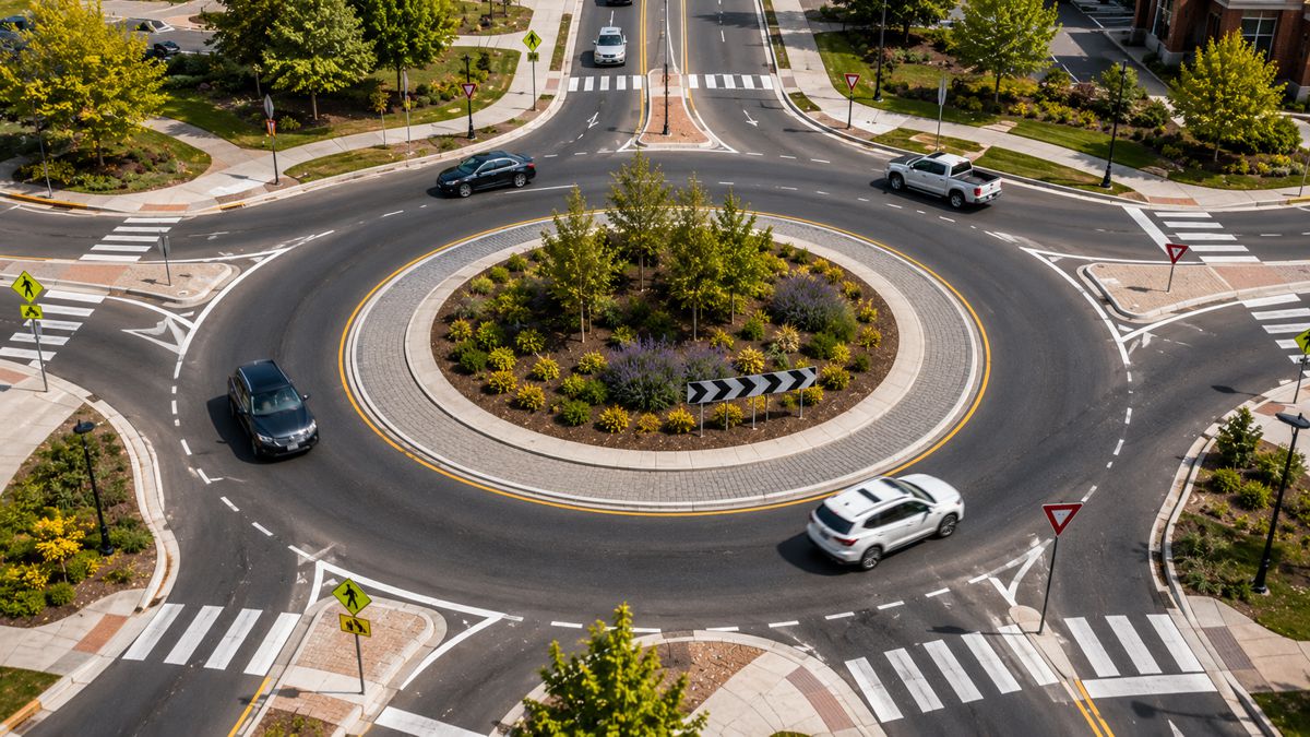
To conduct their research, the team used data from 10 drones hovering over downtown Athens, Greece, over multiple days and recording factors including vehicle position, speed and acceleration. They used this information to identify near-misses between vehicles and then predicted the risk of crashes in real-time.
“This research is the first to use real-time crash risk data to provide navigation directions and give you the safest possible driving route through a city,” said Dr. Sayed. “The algorithm is capable of adjusting directions in real-time, suggesting detours to avoid hazardous locations. This helps enhance road safety for all users. For instance, companies will be able to route their fleet efficiently, prioritizing safety and reducing crash risk.”
Fastest route not always the safest
The study also found that the fastest routes are not always the safest. For example, the team analysed a small section of Athens’ urban road network and found only 23 per cent of the fastest routes were also considered to be the safest routes. On average, the safest route used 54 per cent of the roads used in the fastest route. This indicates that road users should consider a mix of safety and efficiency when choosing directions, said Ghoul.
“In the network we looked at, there was a clear trade-off between safety and mobility: The safest route tended to be 22 per cent safer than the fastest route, while the fastest route was only 11 per cent faster than the safest route. This suggests that there are considerable gains in safety on the safest routes with just a small increase in travel time. As well, intermediate routes, which consider both safety and mobility, would yield larger safety benefits that would by far outweigh the increased travel time.”
Connected cities
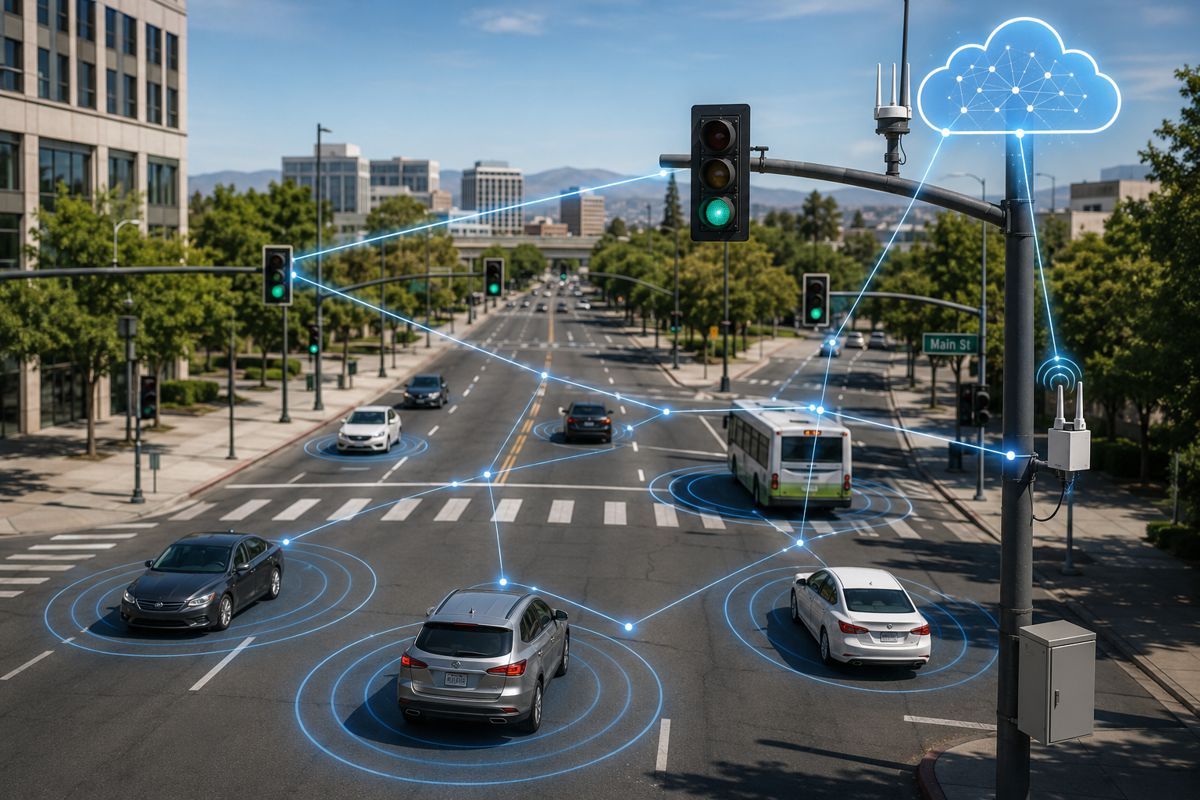
The researchers are currently extending their research into other cities, including Boston, where autonomous vehicles are being tested that produce not only information about themselves and their navigation, but also about traffic routes and crash risk.
“If an urban road network has access to new technologies such as autonomous vehicle data, cameras and other sensing technologies, new possibilities open up for real-time safety measurement and effective routing,” said Dr. Sayed. “These technologies are now generating unprecedented amounts of data, giving rise to new smart mobility applications in the future.”
The algorithm could also be used for bike routing, with cyclists and pedestrians being some of the most vulnerable users of road networks. “Including pedestrian and cyclist data in future algorithms or navigation tools will allow us to improve their safety significantly,” said Dr. Sayed.
It’s important to use real-time crash risk data in any crash prediction or safety optimization algorithm, he added, in order to reflect current conditions, provide more accurate crash risk estimates, and reduce the number of road collisions. Using this data and advanced modelling techniques allows a safer route algorithm that helps road users prioritize safety without compromising efficiency.