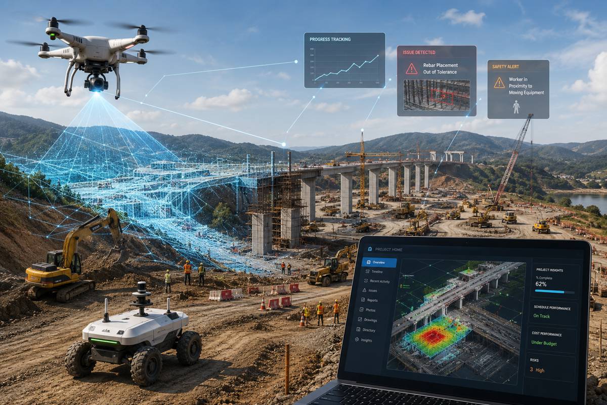
The AVIID Dataset is a revolution in Aerial Imaging
In an era where technological advancements redefine boundaries, a pioneering study published on 10 November 2023 in the Journal of Remote Sensing is charting new territories in aerial visible-to-infrared image translation.
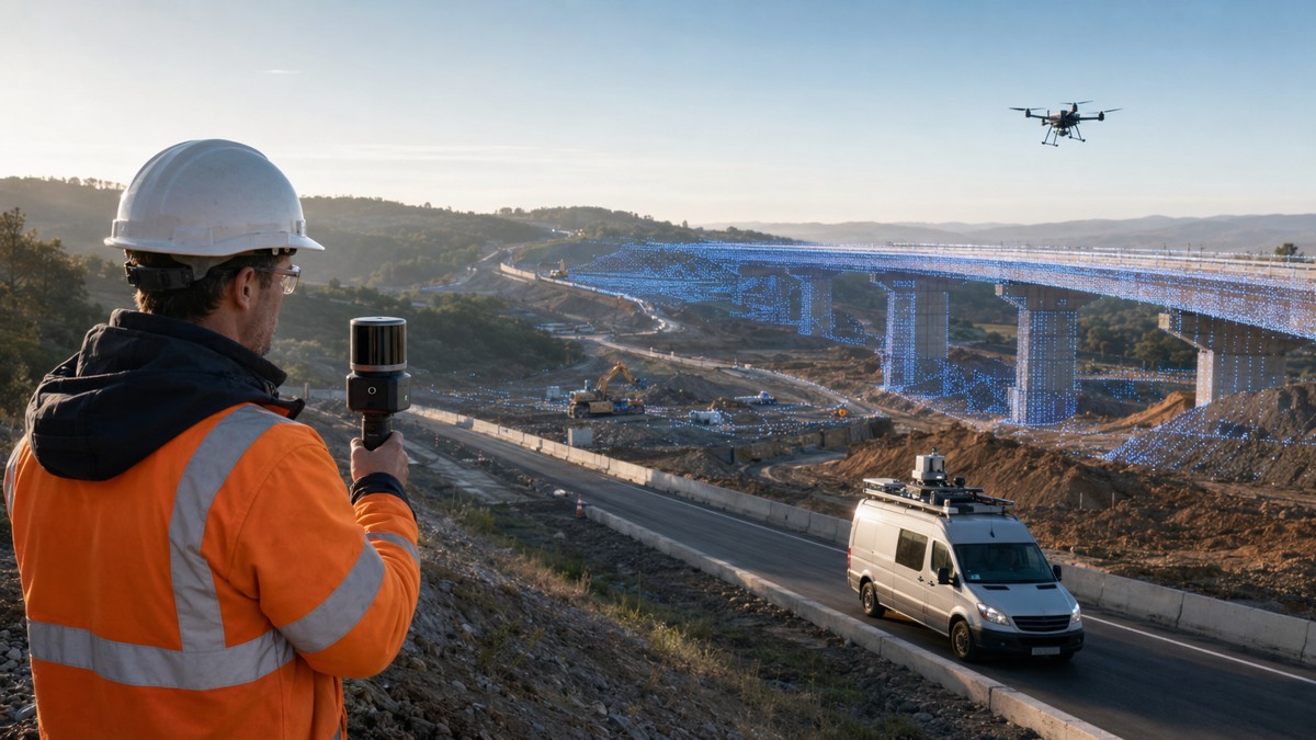
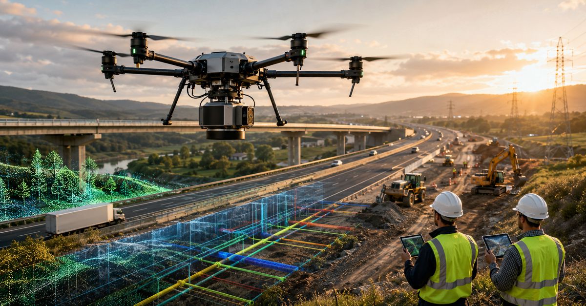
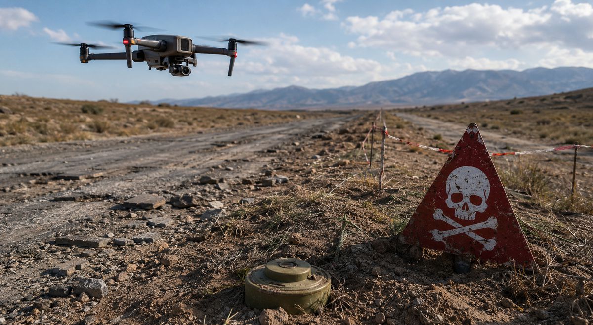
This research is not just about enhancing images from the sky; it’s about reimagining possibilities in surveillance, environmental monitoring, and disaster response.
The AVIID Dataset
Central to this study is the AVIID dataset, a collection of images that stands as a cornerstone in aerial imaging. This dataset propels the field forward by addressing key challenges: the dearth of comprehensive datasets, the need for methodological refinement, and the absence of robust evaluation systems for image quality.
But what exactly does this mean for professionals in construction, policy-making, and investment? It’s a game-changer – a tool that promises to lower costs, boost efficiency, and enhance downstream task performance. In simple terms, it’s about doing more, and doing better, with less.
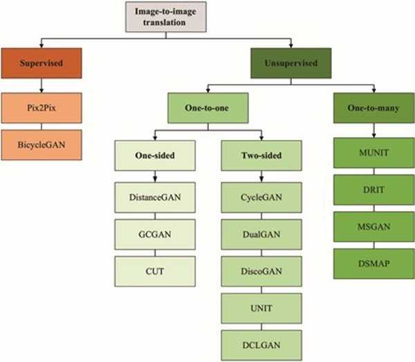
From Visible to Infrared
The research team, led by the esteemed Professor Shaohui Mei, embarked on an analytical odyssey. Their focus? To convert visible images to infrared using a spectrum of image-to-image translation techniques. The goal was twofold: to establish benchmarks for existing methods and to unlock new horizons in image translation fidelity and utility.
“Our dataset and evaluation system mark a significant step in aerial image translation, offering researchers a unique resource to develop and evaluate advanced algorithms in this field,” remarked Professor Mei. It’s not just about the translation of images; it’s about translating ideas into reality.
Beyond the Lab
Imagine a world where surveillance is more precise, where environmental monitoring is more accurate, and where disaster response is more effective. This is the world that the AVIID dataset is helping to build. The potential applications are vast, and the implications are profound.
By refining their evaluation system and extending the dataset, the team aims to surmount challenges such as improving image quality under diverse conditions and melding these technologies into real-world applications. It’s a vision of a future where technology is seamlessly integrated into the fabric of our everyday lives.
Pioneering a New Path
The journey of the AVIID dataset is more than a story of technological triumph. It’s a narrative about the relentless pursuit of excellence and the relentless drive to push the frontiers of what’s possible.
As this research carves its niche in the annals of aerial imaging, it beckons professionals across sectors to take notice. It’s a clarion call to reimagine the future, to envision a world where technology not only aids but elevates our capabilities.
The AVIID dataset and its related methodologies are not just another academic exercise. They are a beacon, guiding us toward a future where the sky is not the limit, but the beginning. A future where we, as a global community, can look up and see not just what is, but what could be.