Esri releases new books on Geospatial, Mapping and GIS Python Technologies
Geospatial technology is no longer just the domain of cartographers and data scientists—it’s now a transformative force reshaping industries, influencing policy, and directly impacting lives.
Esri, a global leader in geographic information systems (GIS), recently released three compelling new books that highlight the diverse and powerful applications of GIS, from the deepest ocean trenches to the corridors of power in national intelligence. These publications underscore how location intelligence is not just about maps—it’s about the human stories that drive change.
The Geography of Hope: Mapping Optimism in a Complex World
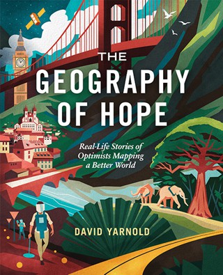
Esri’s latest release, The Geography of Hope: Real-Life Stories of Optimists Mapping a Better World, penned by Pulitzer Prize-winning editor David Yarnold, is a celebration of hope, resilience, and the human spirit. With nine powerful stories, Yarnold takes readers on a journey that spans continents, showcasing how GIS technology is being used to confront some of the world’s most pressing challenges.
Yarnold’s storytelling prowess shines through as he introduces readers to a father-daughter duo fighting for fair elections, activists protecting democracy in Eastern Europe, and deminers risking their lives to remove unexploded ordnance. The book also dives into the role of GIS in making policing more transparent, revolutionizing education, and driving radical AI-driven shifts in national intelligence.
Real Stories, Real Impact
What sets The Geography of Hope apart is its focus on the people behind the technology. Rather than delving into the technical intricacies of GIS, Yarnold humanises the data with real-world stories of struggle, leadership, and collaboration. One poignant narrative explores how conservation efforts in Africa are being led by local communities using GIS to address climate change and protect wildlife. These are not just data points on a map; they are lives being transformed.
The book is beautifully illustrated with full-colour photographs and diagrams, bringing to life the complex yet accessible world of geospatial data. Whether you’re a seasoned GIS professional or new to the field, Yarnold’s work serves as an inspiring reminder of the powerful role that mapping and data visualisation can play in building a more equitable and sustainable world.
Python Scripting for ArcGIS Pro: Unlocking the Power of Automation
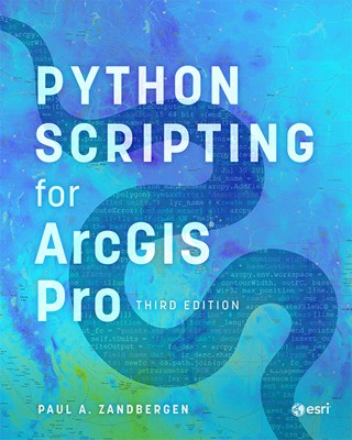
For those in the GIS field, scripting is the key to unlocking a new level of efficiency and creativity. Esri’s updated editions of Python Scripting for ArcGIS Pro and Advanced Python Scripting for ArcGIS Pro, authored by Dr. Paul A. Zandbergen, offer comprehensive guides to mastering Python in the context of ArcGIS Pro.
From Basics to Advanced Automation
The third edition of Python Scripting for ArcGIS Pro is designed for those just dipping their toes into the world of programming. The book covers Python fundamentals and gradually builds towards more complex scripting that integrates with spatial data, geoprocessing tools, and ArcGIS Pro workflows. With step-by-step instructions, practical examples, and online companion resources, readers are equipped to automate repetitive tasks and streamline their GIS projects.
The second edition of Advanced Python Scripting for ArcGIS Pro takes things further, guiding experienced programmers through creating custom functions, developing Python toolboxes, and integrating third-party packages like NumPy, Pandas, and Matplotlib. This edition is a deep dive into the advanced capabilities of Python, demonstrating how GIS professionals can push the boundaries of what’s possible in their analyses and applications.
Practical Guides for Real-World Problems
Zandbergen’s books are more than just technical manuals—they’re practical guides that address the real-world challenges faced by GIS professionals. With sections dedicated to managing Python environments, migrating scripts from Python 2 to 3, and crafting reusable tools, these texts are essential resources for anyone looking to enhance their GIS capabilities through coding.
Mapping the Deep: Dawn Wright’s Dive into Uncharted Waters
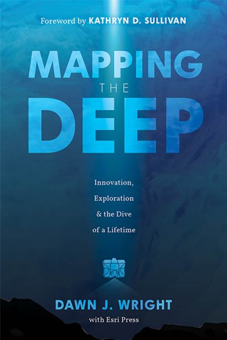
Esri’s third recent publication, Mapping the Deep: Innovation, Exploration & the Dive of a Lifetime, chronicles the historic 2022 dive of Dr. Dawn Wright to Challenger Deep in the Mariana Trench, the ocean’s deepest point. Wright’s journey is more than an exploration of a physical space—it’s an exploration of human perseverance, technological innovation, and the urgent need to understand our planet’s least-explored frontier.
A Dive of a Lifetime
Dr. Wright, chief scientist at Esri and a renowned oceanographer, became the first Black person to reach Challenger Deep, descending over 10,000 metres into a realm few have ever seen. Her book is not just a personal account of this record-setting journey but a call to action for greater investment in ocean mapping.
“Less than one-fourth of the seabed has been mapped in high resolution,” Wright notes. “We know more about the surface of the moon than we do about our own ocean floor.” With each page, she highlights the critical importance of ocean mapping for environmental sustainability, marine biodiversity, and even national security.
Beyond the Horizon
Mapping the Deep also delves into the technological marvels that made Wright’s dive possible, including state-of-the-art submersibles and GIS applications that map the hidden landscapes of the ocean. The book is richly illustrated with images of marine life, underwater terrain, and the cutting-edge technology used to explore these remote depths.
For those passionate about the environment, the ocean, or the future of exploration, Wright’s story is a testament to what can be achieved when innovation meets determination. It’s a book that not only celebrates her achievements but also encourages a broader conversation about our responsibility to the planet.

A Future Shaped by GIS
Esri’s latest trio of books highlights the diverse, impactful, and sometimes surprising ways GIS is shaping the world. From the halls of government to the depths of the ocean, GIS technology is being used to solve complex problems, connect communities, and inspire hope. Whether you’re a GIS veteran or just discovering the power of location intelligence, these stories demonstrate the limitless potential of mapping technology to change the world.
These publications not only serve as resources for professionals but as beacons of what’s possible when data and human ingenuity come together. With compelling narratives, expert insights, and a deep commitment to making the world a better place, Esri continues to lead the charge in using GIS for good.