Topcon’s Topnet Live Service Now Spans Western USA and Hawaii
Topcon Positioning Systems has made a substantial leap in its GNSS (Global Navigation Satellite System) correction services with an extensive expansion of its Topnet Live network across the Western United States and Hawaii.
With this addition of 180 geodetic reference stations, Topnet Live now offers centimetre-level accuracy across California, Hawaii, Oregon, Nevada, Utah, and Washington, reshaping how industries approach everything from high-precision construction and agriculture to automated turf maintenance and drone operations.
As the GNSS network expands, so does Topcon’s influence, bringing powerful RTK (Real-Time Kinematic) corrections and a wider range of capabilities to its customers. This article unpacks the impact of Topnet Live’s recent upgrade on industries and explores how Topcon’s innovative solutions continue to support accurate, efficient workflows worldwide.
Expanding Coverage, Enabling Precision
Topcon’s recent expansion within key U.S. states marks a major enhancement in its mission to provide robust GNSS correction services. This substantial boost in reference stations extends Topnet Live’s coverage by over 72,900 square miles, a significant leap that has been met with enthusiasm by customers across diverse sectors. The new stations primarily support professionals in metropolitan areas, allowing them to leverage full network-modelled solutions tailored to specific industries.
“The addition of these new stations offers expanded RTK corrections services to customers in many large metropolitan areas across several states and increases the total coverage of Topnet Live in the Americas by over 72,900 square miles,” said Jason Killpack, Director of Business Development for Topcon Emerging Business. “These new stations increase the density and offer users full network-modeled solutions for various applications.”
This precision-focused expansion underscores Topcon’s commitment to simplifying workflows by delivering high-accuracy corrections. With RTK services now more accessible, users across sectors can seamlessly integrate GNSS technology into their workflows, enhancing both productivity and accuracy.
GNSS Corrections Made Accessible
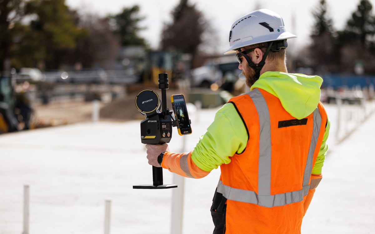
One of the core benefits of the Topnet Live service is its globally supported NTRIP (Networked Transport of RTCM via Internet Protocol) network corrections. This protocol streams GNSS correction data over the internet, delivering real-time positioning capabilities crucial for on-site activities that demand precision. NTRIP-based corrections have been instrumental in providing centimetre-level accuracy, which has applications across multiple industries, from construction and agriculture to UAV operations and precision turf management.
Beyond RTK, Topnet Live now offers increased Differential GPS (DGPS) coverage for mapping, along with expanded Receiver Independent Exchange (RINEX) static files for post-processing needs. These enhancements mean that both static and kinematic workflows can achieve precise results, critical for tasks where post-processing of GNSS data is required.
“The decision to add the new geodetic stations into our Americas network was an easy one,” remarked Killpack. “We’ve introduced new coverage areas while reinforcing in-fill for extended operational reach. Topnet Live is growing rapidly with a global footprint that’s unmatched by any other provider, allowing us to serve our customers and partners with the best possible outcomes.”
Why Accuracy Matters Across Industries
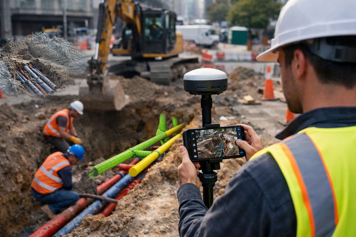
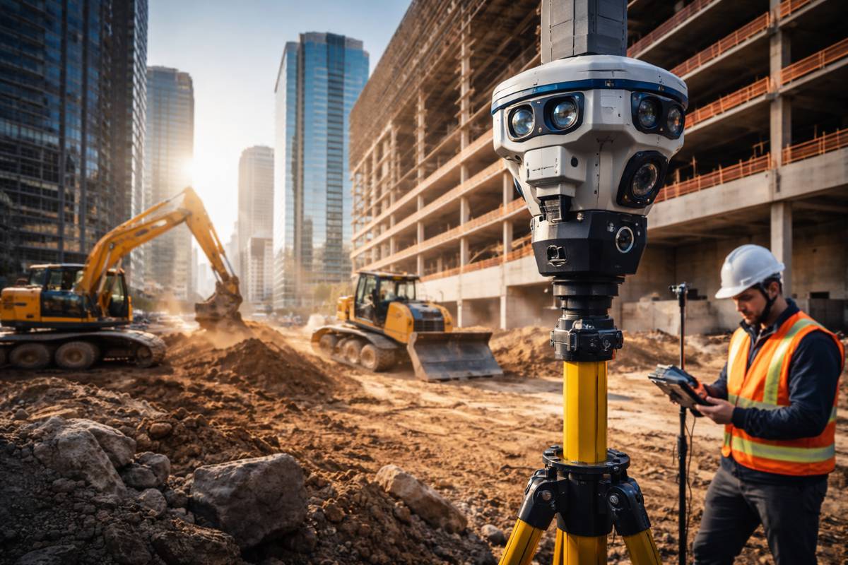
Precision is no longer optional in sectors like construction, agriculture, and turf management—it’s essential. For instance, in construction, centimetre-level accuracy ensures that every structure aligns perfectly with design specifications, reducing errors and rework costs. In agriculture, high-precision GNSS supports machine guidance, enabling farmers to manage planting, spraying, and harvesting with unprecedented efficiency and accuracy.
Topcon’s Topnet Live service also appeals to niche markets, like automated turf maintenance. In this industry, precision GNSS systems allow for automated mowers and line-marking devices to operate independently, ensuring immaculate results every time. Meanwhile, the UAV market benefits from Topnet Live’s corrections for mapping and surveying, creating highly accurate georeferenced data crucial for detailed landscape models, city planning, and even delivery services.
How GNSS Corrections Work
Behind Topnet Live’s precise positioning is a network of fixed reference stations that receive continuous GNSS signals. These stations work by calculating inaccuracies caused by factors like satellite constellations, hardware limitations, and atmospheric conditions. By analysing these discrepancies, the stations generate correction data, which is then broadcast to compatible GNSS receivers.
Topnet Live stands out in the GNSS correction market by offering real-time data services across the Americas, Europe, and Asia Pacific. This broad global footprint reflects Topcon’s long-standing focus on empowering customers with the resources they need to make informed, data-driven decisions, regardless of their geographical location.
Innovating for a Global Audience
With roots dating back to 1932, Topcon Corporation has built a reputation as a leader in precision measurement and workflow solutions. Headquartered in Livermore, California, with its European head office in Zoetermeer, Netherlands, Topcon serves a broad spectrum of industries, including construction, geospatial, and agriculture.
Over the years, Topcon has distinguished itself through continuous innovation, adapting to technological changes and providing advanced GNSS correction solutions that are both scalable and dependable. Topnet Live epitomises Topcon’s mission, representing a solution that’s comprehensive, accurate, and capable of supporting global industries with cutting-edge correction technology.
A Platform for Global Precision
Topnet Live’s expansion across Western USA and Hawaii is a testament to Topcon’s commitment to precision and customer-centric innovation. By enabling centimetre-level accuracy across diverse fields, Topcon is not only refining workflows but also opening up new possibilities for how professionals leverage GNSS data.
As GNSS technology evolves, Topcon’s expanded network will serve as a crucial resource, ensuring that businesses and professionals alike can access the data they need to make every measurement count. With Topnet Live, Topcon remains at the forefront of positioning technology, offering a powerful platform that delivers accuracy, efficiency, and a future-ready solution for global markets.


