Transforming Navigation Accuracy with GEO-PULSE Cutting-Edge GPS Technology
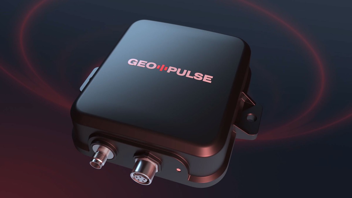
The GEODNET Foundation is shaking up the world of vehicle navigation with GEO-PULSE, a GPS device that delivers centimetre-level accuracy by leveraging GEODNET, the largest Real-Time Kinematics (RTK) network globally.
At just $129, this revolutionary device redefines precision, affordability, and integration, promising to change how we navigate and interact with our digital maps.
Redefining GPS Accuracy
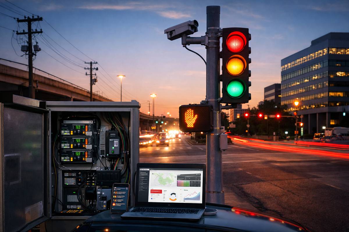
Traditional GPS devices, while convenient, often struggle with location accuracy due to interference from buildings, dense trees, and atmospheric conditions. These limitations result in location errors of up to three metres—a significant issue in dense urban areas or for advanced applications like augmented reality (AR) and autonomous systems. GEO-PULSE mitigates these challenges by achieving sub-decimetre accuracy, reducing errors to less than 0.1 metres in typical driving scenarios.
This improvement is made possible through GEODNET’s RTK network, which delivers a 100-fold enhancement over standalone GPS solutions. Unlike conventional systems, RTK employs corrections from a network of ground stations, enabling hyper-accurate positioning without requiring high-bandwidth connections.
Integration for Everyday Use
GEO-PULSE connects seamlessly with iOS and Android devices via Bluetooth, ensuring enhanced real-time positioning across all major navigation apps like Google Maps and Waze. For everyday users, this translates to more precise turn-by-turn directions and an enriched experience in location-based AR applications.
The device also supports advanced use cases for autonomous vehicles, logistics, and even outdoor recreation, where location precision is paramount. As smartphones increasingly serve as the interface for emerging technologies, GEO-PULSE ensures the “Blue Dot” on your screen is not just close—but exact.
Building on Blockchain Foundations
What sets GEO-PULSE apart is its integration with IoTeX’s blockchain infrastructure. IoTeX provides a decentralised framework for device identity and data validation, empowering users with unprecedented transparency and security. By registering their GEO-PULSE devices with IoTeX’s ioID, users can participate in decentralised ecosystems while retaining control over their data.
Through IoTeX’s W3bstream service, devices can also generate zero-knowledge proofs of activity, which are crucial for applications like decentralised ride-sharing platforms. These blockchain-powered capabilities allow GEO-PULSE to transcend traditional navigation, creating a platform for innovative, trust-based applications.
A Platform for Developers
Recognising the potential for wider applications, the GEODNET Foundation plans to release a Software Development Kit (SDK) by mid-2025. This SDK will enable developers to build custom solutions using GEO-PULSE’s core technologies, opening doors to applications in industries such as logistics, drone operations, and precision agriculture.
With blockchain-backed reliability, GEO-PULSE also presents a unique opportunity for developers exploring decentralised physical infrastructure networks (DePIN). For instance, pairing the device with autonomous delivery systems or integrating it into smart city initiatives could streamline operations and enhance efficiency.
The GEO-PULSE experience isn’t just about accuracy; it’s also about community. The Quest app gamifies navigation by rewarding users with cryptocurrency for completing network-enhancing tasks. These tasks range from data validation to route mapping, allowing participants to contribute to the GEODNET ecosystem while earning tokens in return.
This rewards system not only fosters user engagement but also ensures that the network remains robust and self-sustaining. Active participants in IoTeX’s incentive programme can earn $IOTX tokens, further strengthening ties between blockchain technology and real-world applications.
GEODNET Is The Backbone of Precision
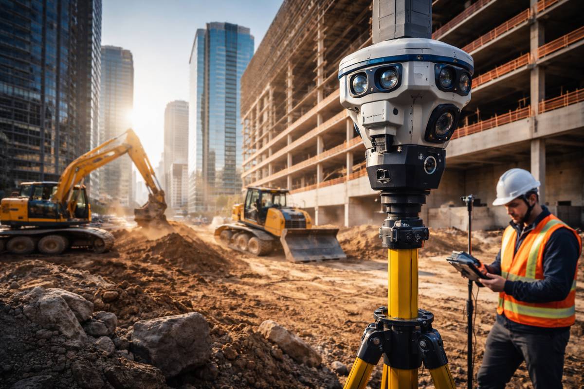
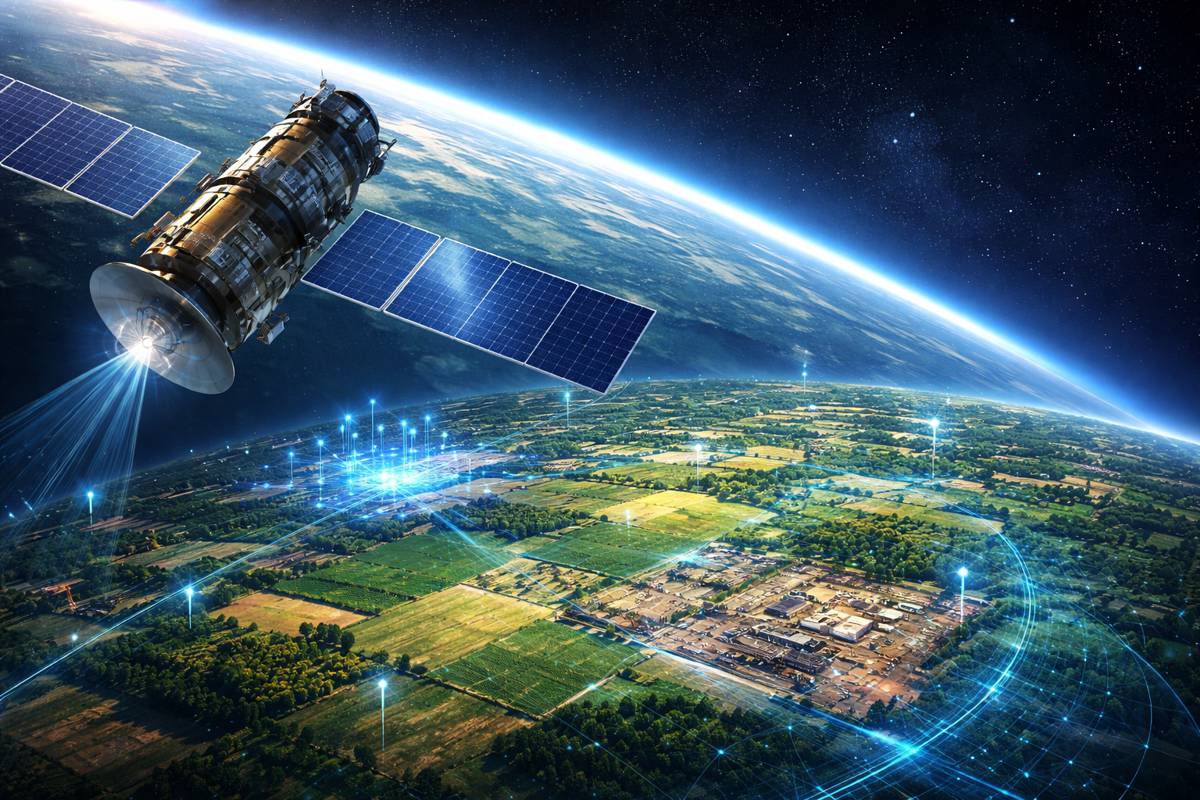
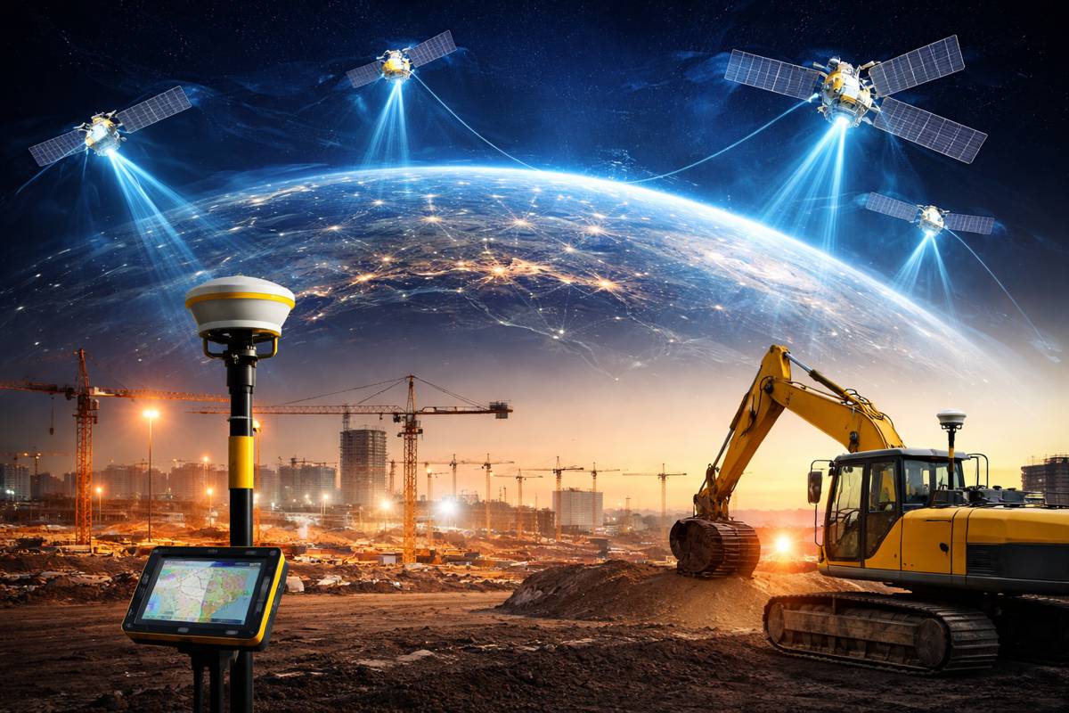
GEO-PULSE wouldn’t be possible without the global reach and reliability of GEODNET. Operating as a decentralised RTK network, GEODNET employs low-data-rate connections to provide corrections in real-time. Its network of ground stations complements on-device sensors such as LiDAR, cameras, and inertial measurement units (IMUs), enabling precise 3D localisation critical for AI-driven systems.
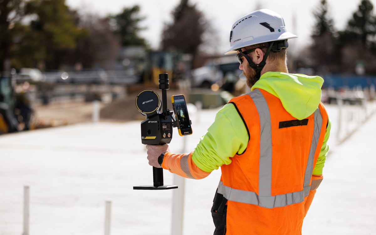
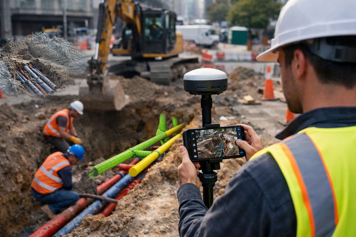
For autonomous vehicles, construction machinery, and even robotics, GEODNET’s infrastructure offers a stable and scalable solution for positioning challenges. It bridges the gap between conventional GPS systems and the demands of modern AI applications, where precision is non-negotiable.
With orders opening on November 20, 2024, and deliveries slated for January 2025, GEO-PULSE represents a turning point in GPS technology. By combining affordability, high accuracy, and blockchain-enabled features, it caters to a diverse range of users—from everyday drivers to advanced system developers.
The introductory price of $129, including a year of enhanced location accuracy service, positions GEO-PULSE as an accessible solution for anyone seeking reliable navigation. As the GEODNET Foundation continues to expand its RTK network and refine its offerings, GEO-PULSE stands out as a beacon of what’s possible when cutting-edge technology meets real-world needs.
A Glimpse into the Future
The advent of GEO-PULSE underscores a broader shift towards integrating decentralised infrastructure with traditional systems. By blending RTK accuracy with blockchain verifiability, GEODNET is not just solving immediate navigation issues but also laying the groundwork for a new era of connected, transparent, and reliable technologies.
As industries like transportation, logistics, and smart cities evolve, devices like GEO-PULSE will play an integral role, bridging the gap between physical precision and digital innovation.


