Mapping the Future with Technical Insights on AI’s Impact
Microsoft recently released a report identifying professions potentially at risk from AI automation, listing geographers among them.
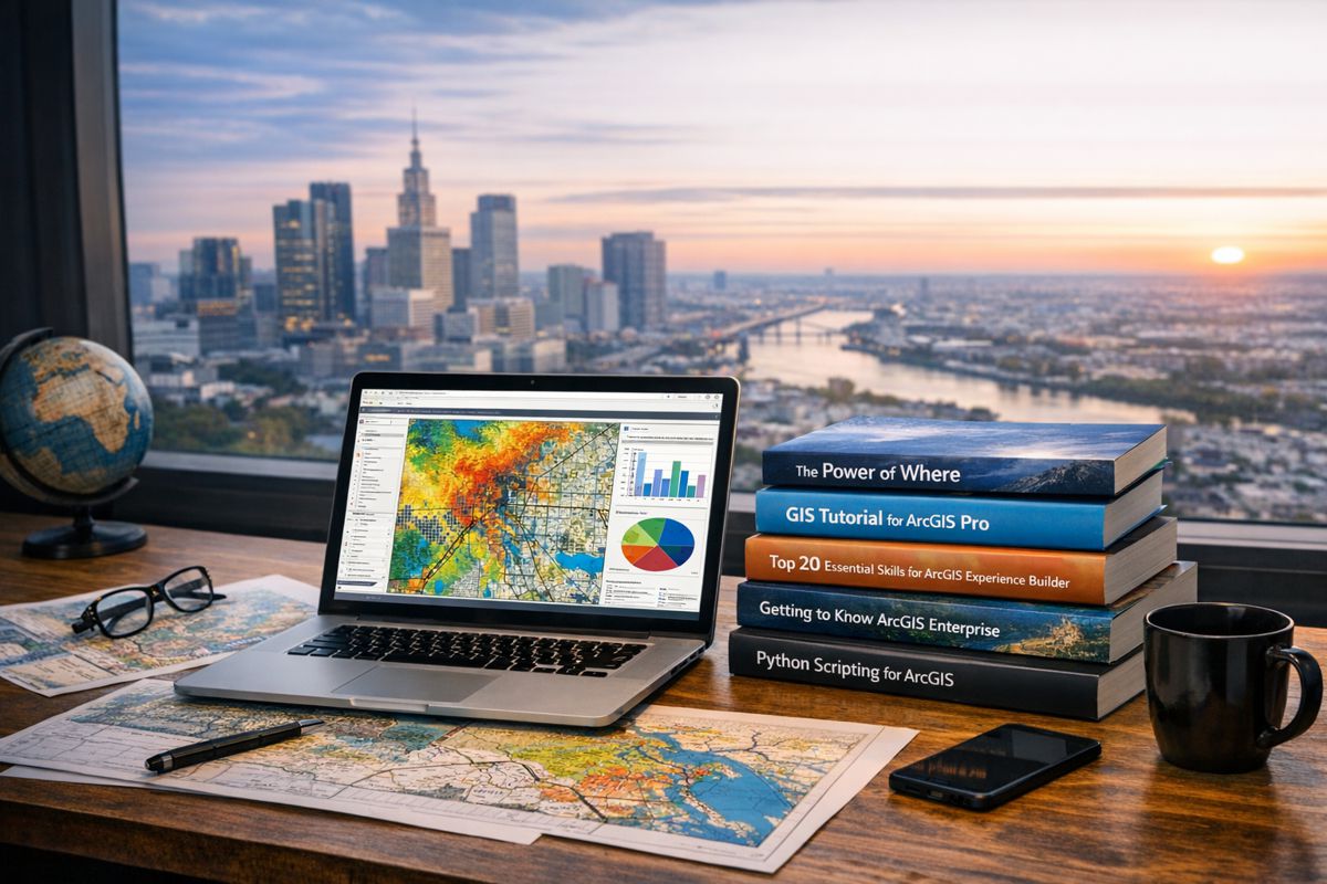
Professor Trisalyn Nelson, Jack and Laura Dangermond Chair of Geography at UC Santa Barbara and Director of the Center for Spatial Studies and Data Science, presents a different perspective, where far from replacing geographers, AI is enhancing their analytical capacity, operational efficiency, and ability to address complex environmental, social, and economic challenges.
Limitations of the Microsoft Assessment
The report appears to measure vulnerability based on AI’s capacity to perform discrete, simplified tasks such as location identification or route planning. These functions represent only a narrow portion of modern geographic practice. Contemporary geographers integrate multi-scale datasets, statistical modelling, and predictive analytics to generate actionable intelligence for decision-makers.
Reducing the profession to basic cartographic recognition overlooks advanced processes such as spatio-temporal modelling, geostatistical analysis, and the integration of qualitative socio-economic data with quantitative geospatial datasets. These processes require domain-specific expertise, contextual understanding, and cross-disciplinary synthesis, with capabilities that an AI, without expert oversight, cannot replicate.
Modern Geographic Practice
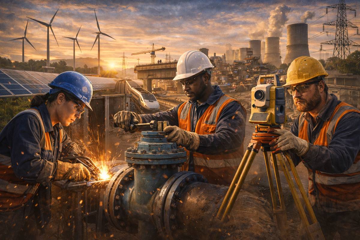
Geography today is a data-rich, technology-driven discipline. It leverages remote sensing, Geographic Information Systems (GIS), global positioning systems, and spatial analytics to address a broad spectrum of challenges:
- Urban Development: Site suitability modelling, infrastructure optimisation, and zoning impact assessment.
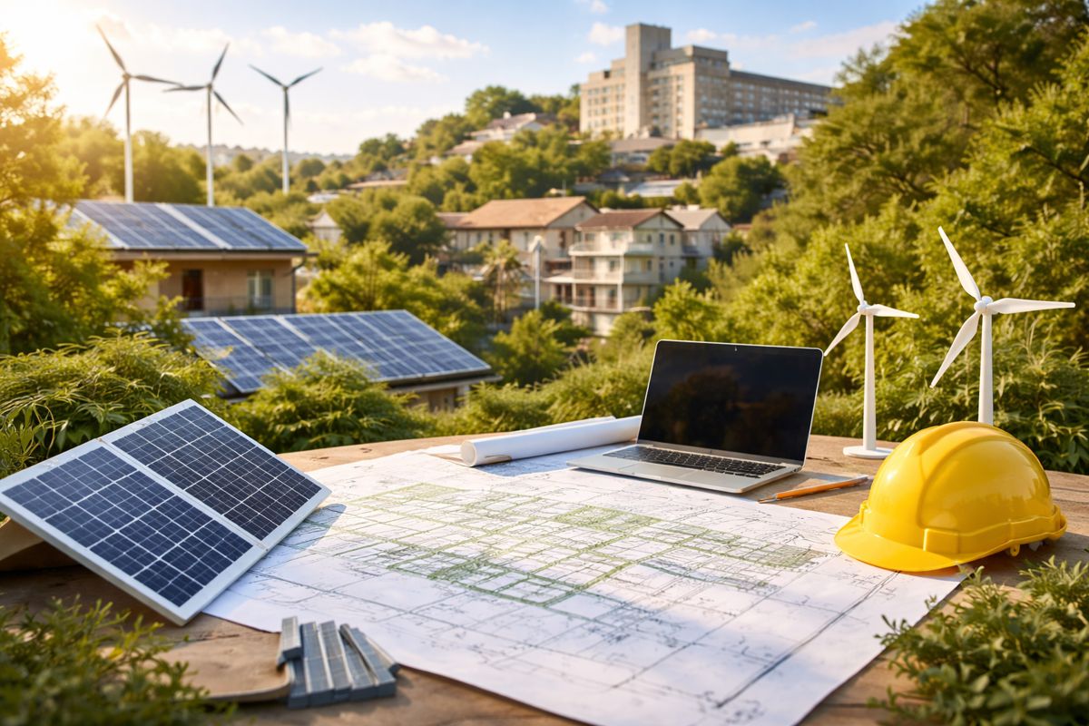
- Climate and Environmental Science: Monitoring land use change, modelling climate adaptation scenarios, and managing biodiversity corridors.
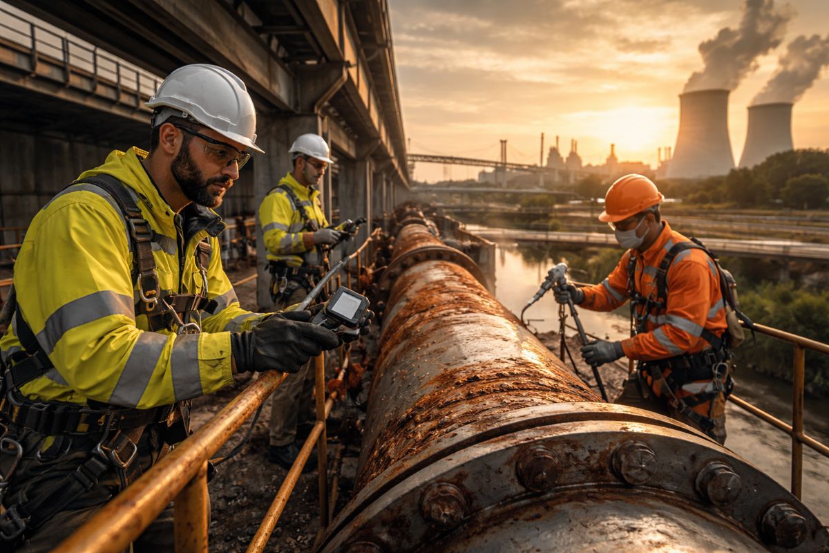
- Public Safety and Disaster Resilience: Hazard mapping, evacuation planning, and post-disaster damage assessment.
- Transportation and Logistics: Traffic flow modelling, supply chain network design, and predictive maintenance for transport infrastructure.
- Natural Resource Management: Hydrological modelling, groundwater recharge analysis, and sustainable resource allocation.
Geographers work within research institutions, government agencies, private consultancies, and international organisations, applying their expertise to challenges that demand spatial reasoning at both local and global scales.
Sectoral Applications in Depth
- Public Health: Spatial epidemiology uses geospatial datasets to analyse disease spread patterns, identify hotspots, and model intervention outcomes.
- Emergency Management: Geospatial decision-support tools aid in real-time resource allocation during floods, earthquakes, and wildfires.
- Environmental Management: Remote sensing and spatial statistics monitor deforestation, wetland loss, and urban encroachment on sensitive ecosystems.
- Logistics and Commerce: Location-allocation modelling optimises retail expansion, warehouse placement, and distribution efficiency.
- Urban Planning: 3D city modelling supports smart city initiatives, transport integration, and resilience planning.
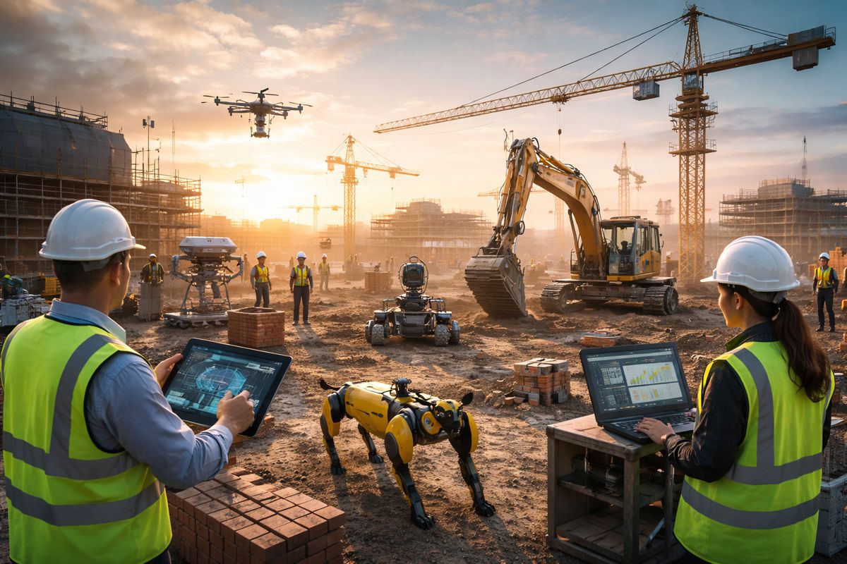
AI as a Force Multiplier
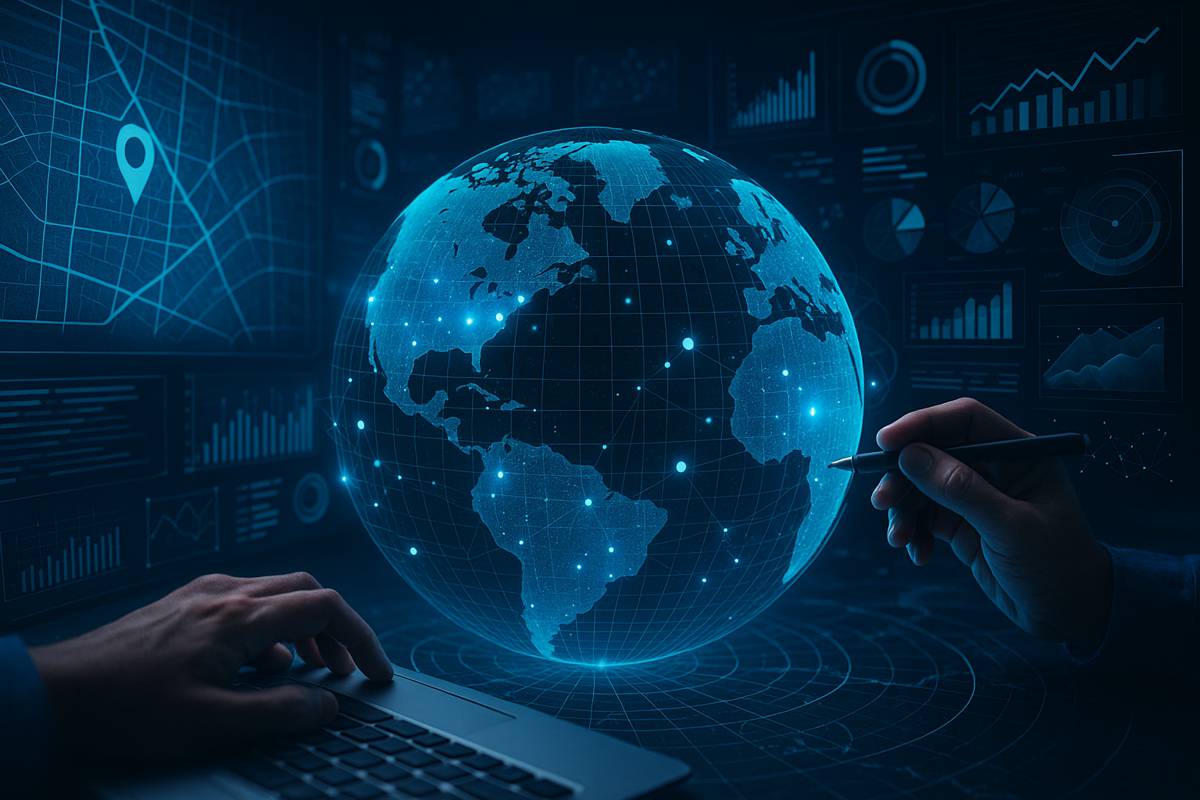
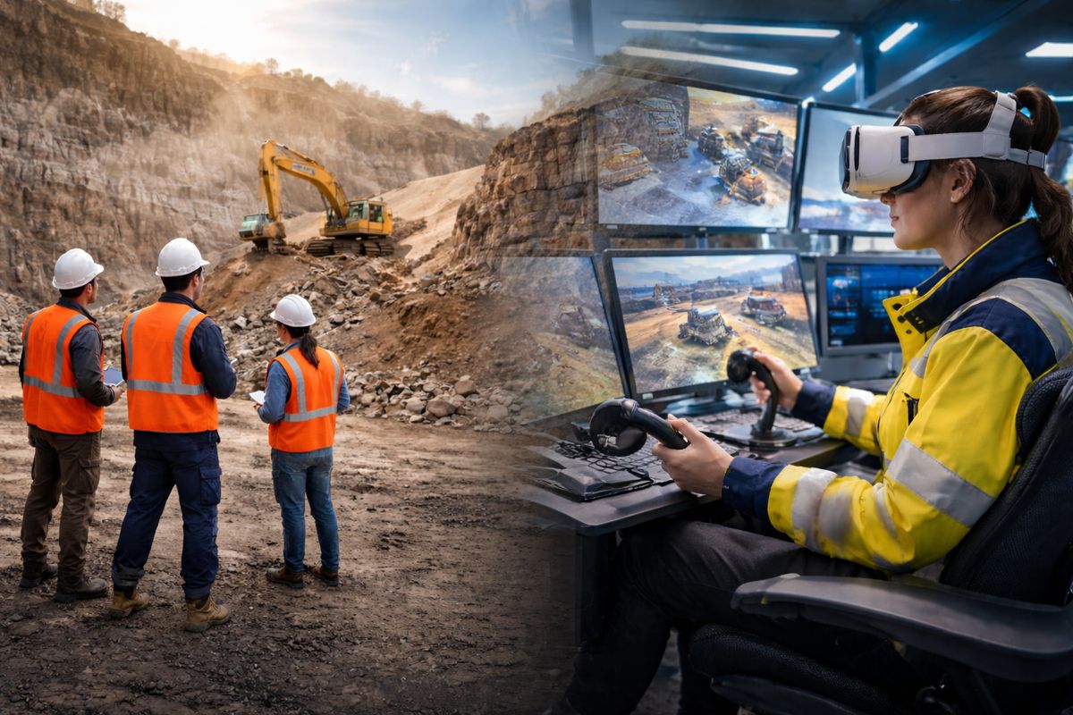
AI’s primary contribution to geography lies in automation, scalability, and pattern recognition at unprecedented speeds. With global data acquisition systems producing petabytes of information daily—from UAV imagery and satellite constellations to IoT-enabled environmental sensors. The processing burden is immense. AI algorithms streamline data classification, detect anomalies, and enable predictive modelling.
Deep learning models, such as convolutional neural networks (CNNs), are now standard for automated feature extraction from imagery. Natural language processing (NLP) integrates unstructured datasets, like social media geotags, into spatial analyses, revealing behavioural trends and mobility patterns.
Validation and Quality Control
Geographers employ rigorous validation methods to ensure the reliability of AI-derived outputs. For example, when applying machine learning to classify land cover types, results are benchmarked against high-resolution reference datasets and field-verified control points.
Statistical accuracy measures, such as the Kappa coefficient and confusion matrices, quantify classification performance and guide model refinement.
Remote Sensing Acceleration
A decade ago, mapping a forest canopy from satellite imagery required months of manual coding, segmentation, and verification. Today, pretrained AI models can execute this task in seconds with minimal human intervention.
This allows geographers to reallocate their time from repetitive image processing to higher-value tasks such as integrating outputs with climate risk projections, carbon sequestration modelling, and policy recommendations for sustainable forest management.
Strategic Integration of AI in Geography
Key areas of AI application include:
- GeoAI for Predictive Modelling: Anticipating flood risk, urban sprawl, or wildfire spread using historical and real-time datasets.
- Automated Spatial Data Fusion: Merging multi-source datasets, including LiDAR point clouds, multispectral imagery, and crowdsourced data.
- Real-Time Monitoring Systems: Dynamic mapping of environmental changes through IoT sensor networks.
- Optimisation Algorithms: Identifying optimal routes, facility locations, and resource allocation strategies under varying constraints.
Emerging Research Frontiers
- 3D Geospatial Modelling: Integrating AI with Building Information Modelling (BIM) for infrastructure and urban design.
- Climate Adaptation Analytics: Machine learning for resilience planning against extreme weather events.
- Ethics in GeoAI: Addressing biases in spatial datasets and ensuring equitable access to geospatial insights.
Future Trajectory
The integration of AI into geographic workflows is expected to shift the profession’s skill requirements toward hybrid expertise, combining geospatial science with data engineering, algorithm design, and systems integration.
Geographers will increasingly operate as interpreters of AI outputs, contextualising machine-generated insights for decision-makers.
AI-Enhanced Geographic Capability
Geographers are entering a phase of amplified impact. AI’s ability to process, analyse, and visualise massive datasets strengthens the discipline’s role in tackling global challenges, from urbanisation pressures to climate change adaptation.
Rather than diminishing the profession, AI is positioning geographers as strategic leaders in spatial intelligence, equipped to deliver timely, data-driven solutions for complex, interconnected systems.