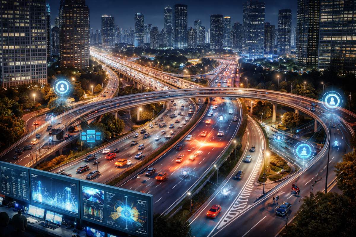
Cutting Through the Concrete Canyon for Smarter Urban Positioning
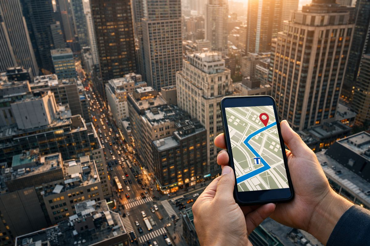
Smartphones have become the default navigation tool for pedestrians, drivers, engineers, and planners alike. From everyday wayfinding to professional surveying and asset inspection, location data now underpins how cities function. Yet anyone who has tried to follow a navigation app in a dense city knows the frustration. One moment the blue dot behaves itself, the next it jumps across a road, spins on the spot, or insists the user is walking through a building. These failures are not quirks of software design. They are symptoms of a deeper technical limitation tied to how Global Navigation Satellite System signals behave in urban environments.
Tall buildings block satellite signals, reflect them off glass and concrete, and stretch signal paths in unpredictable ways. The result is corrupted pseudorange measurements and degraded satellite geometry, especially at street level. Conventional smartphone GNSS positioning struggles to cope, leading to cross street errors, broken trajectories, and unreliable continuity. In dense urban canyons, absolute positioning accuracy can collapse from a few metres to tens of metres in seconds. For professionals relying on location aware services, that gap is no longer acceptable.
Why Existing Fixes Fall Short
Over the past decade, researchers and technology providers have proposed a range of mitigation strategies. Robust estimators attempt to down weight faulty measurements, while machine learning techniques classify signals as line of sight or non line of sight. Three dimensional map aided GNSS has also gained traction, using building models to predict satellite visibility and shadowing. Each of these approaches offers partial relief, but none fully solves the problem.
Machine learning methods often depend on ideal training data that fails to capture the sheer variability of urban geometry. Traditional 3D map aided techniques can struggle when multiple candidate positions appear equally plausible, particularly on parallel streets or in narrow corridors. Meanwhile, high precision GNSS observables such as carrier phase measurements remain largely untapped on smartphones due to frequent signal interruptions and hardware limitations. The result is a fragmented landscape of solutions that improve accuracy in theory but falter under real world urban complexity.
A Factor Graph Approach Emerges
Against this backdrop, a research team from China University of Mining and Technology and Shandong Jianzhu University has proposed a new direction. Published in 2025 in the journal Satellite Navigation, the study introduces a tightly coupled factor graph optimisation framework designed specifically for smartphone positioning in dense urban environments.
Rather than relying on a single type of measurement or constraint, the framework fuses multiple GNSS observables, including pseudorange, Doppler, and time differenced carrier phase, with spatial constraints derived from three dimensional city maps. By blending absolute positioning cues with short term motion information, the approach addresses urban positioning errors at both spatial and temporal levels.
Making Better Use of Carrier Phase
One of the most significant contributions of the study lies in its treatment of time differenced carrier phase measurements. Carrier phase is well known for its centimetre level precision in geodetic applications, yet on smartphones it is often dismissed as unreliable due to frequent cycle slips and signal interruptions.
Instead of attempting to use raw carrier phase directly, the researchers focus on its time differenced form. By analysing changes between consecutive epochs, the method extracts highly precise relative motion information over short intervals. This information is then used to strengthen motion constraints within the positioning framework, without requiring long term phase continuity.
The team integrates time differenced carrier phase into satellite visibility scoring, enhancing traditional shadow matching techniques. Candidate positions are evaluated not only on whether satellites should be visible given surrounding buildings, but also on whether the implied short term motion aligns with observed carrier phase changes. This dual constraint reduces ambiguity along streets and helps eliminate physically implausible solutions.
Probabilistic Map Matching as a Filter
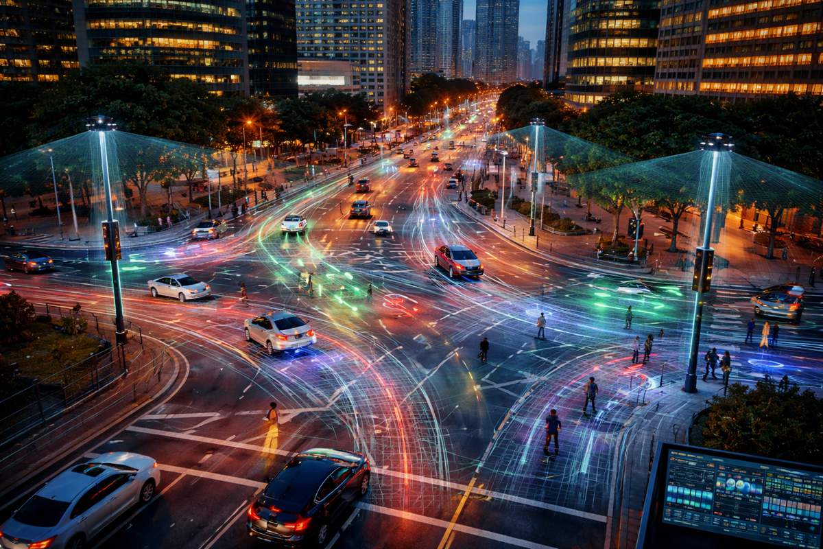
Urban positioning errors often manifest as cross street mistakes, where a user is placed on the wrong road despite being only a few metres away from the correct one. To address this, the study introduces a probabilistic map matching strategy that operates at each epoch.
Rather than forcing a hard decision, the method assigns likelihoods to nearby road segments based on spatial proximity and motion consistency. This probabilistic filter narrows the search space for candidate positions and significantly reduces the risk of jumping between parallel streets. In effect, the road network becomes an intelligent guide, steering the solution toward geometrically and contextually plausible locations.
Resolving Ambiguity with RANSAC
Even with enhanced shadow matching and map constraints, urban environments can produce multimodal candidate distributions. Several potential positions may satisfy individual constraints, especially in areas with repetitive geometry. To resolve this, the researchers apply a RANSAC based clustering approach.
Instead of relying on heuristic weighted averages, which can produce physically meaningless results, the RANSAC method identifies a single dominant cluster that represents a coherent and realistic solution. This step proves critical in ensuring stability and preventing sudden trajectory jumps when measurements fluctuate.
Tightly Coupled Factor Graph Optimisation
All spatial and temporal constraints are ultimately integrated within a factor graph optimisation framework. Factor graphs are well suited to this task, as they allow heterogeneous measurements and constraints to be combined across multiple epochs in a mathematically consistent way.
Within the graph, pseudorange measurements contribute absolute positioning information, Doppler observations constrain velocity, time differenced carrier phase enforces short term motion consistency, and map derived factors encode spatial feasibility. Clock related constraints link consecutive epochs, improving temporal coherence. The result is a unified optimisation process that balances all available information rather than prioritising one source at the expense of others.
Real World Validation
The framework was tested through field experiments conducted in a dense university campus environment characterised by severe signal obstruction and complex building geometry. This setting mirrors the conditions encountered in many modern city centres, making it a realistic benchmark for performance evaluation.
Results were compelling. The proposed method achieved horizontal positioning errors within three metres for 76.7 percent of epochs and within five metres for 93.1 percent of epochs. These figures represent a substantial improvement over advanced GNSS multi source fusion approaches commonly used in smartphone positioning today.
Equally important was trajectory quality. The resulting paths were smoother, more continuous, and closely aligned with actual pedestrian routes. Even in heavily obstructed corridors, where conventional solutions often break down entirely, the framework maintained stable tracking without erratic jumps or drift.
Why This Matters
According to the research team, the core advance lies in fully exploiting high precision GNSS information that is typically overlooked in smartphone applications. By using time differenced carrier phase to reinforce motion constraints and combining it with detailed 3D map knowledge, the framework bridges the long standing gap between absolute positioning accuracy and short term relative precision.
The researchers note: “By integrating spatial constraints from urban maps with high precision temporal GNSS observables, the proposed framework significantly improves positioning accuracy, reliability, and trajectory continuity in dense urban environments.”
This emphasis on reliability is particularly important. For navigation systems used in transport planning, infrastructure inspection, and smart city services, consistency often matters as much as raw accuracy. A smooth, trustworthy trajectory can enable applications that would otherwise be impossible with noisy or intermittent positioning.
The Road Ahead for Urban GNSS
While the results are promising, the study also highlights several avenues for further development. Higher resolution and higher level of detail 3D urban models could further enhance satellite visibility prediction and geometric constraints, particularly in narrow street canyons and complex intersections.
Improving the robustness of time differenced carrier phase acquisition on smartphones remains another priority. Developing confidence aware strategies that adapt to signal interruptions could strengthen temporal constraints even under adverse conditions.
Finally, the integration of GNSS with other smartphone sensors presents a powerful opportunity. Inertial measurement units, cameras, LiDAR, and opportunistic signals could all be incorporated into the same factor graph framework. Such multi sensor fusion would help maintain positioning continuity during GNSS outages and further improve robustness in environments where satellite signals are severely compromised.
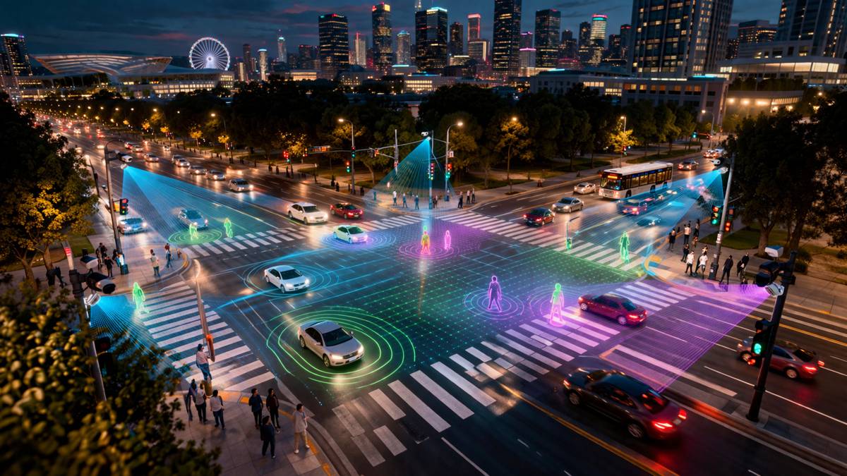
A Step Toward Smarter Cities
As cities become denser and more digitally connected, the demand for reliable, high accuracy positioning will only grow. From pedestrian navigation and autonomous mobility to urban analytics and infrastructure management, location data underpins the smart city vision.
This new map assisted, multi observation factor graph framework represents a meaningful step forward. By rethinking how smartphone GNSS data is used and combining it intelligently with urban context, the research demonstrates that accurate and reliable positioning in dense cities is no longer out of reach. Instead, it becomes a solvable engineering challenge with implications far beyond navigation apps.