Shield Technology Putting Real Time Disaster Intelligence into Orbit
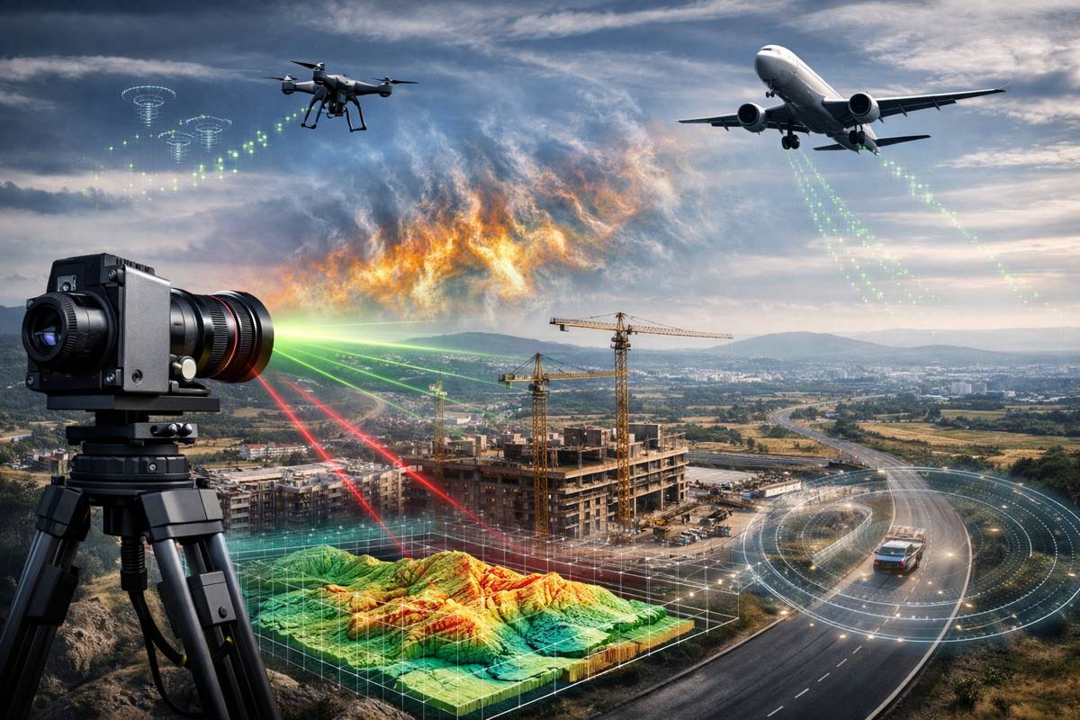
Natural disasters are no longer isolated shocks. Floods are expanding beyond historic floodplains, wildfires are burning with greater intensity, and landslides are increasingly linked to extreme weather patterns and land-use change. For infrastructure operators, insurers and policymakers, the real challenge is not just predicting these events but responding to them quickly, accurately and at scale.
Satellite remote sensing has long been the backbone of large-scale disaster monitoring. Yet, despite decades of progress, most systems still rely heavily on ground-based processing. That means raw satellite imagery must be transmitted to Earth, stored in vast datasets and analysed using computationally intensive workflows. In practice, this creates a lag between observation and actionable insight, precisely when time matters most.
Now, researchers from Beijing Normal University and East China Normal University have introduced a new approach that shifts this balance. Published in the Journal of Remote Sensing, the Shield framework brings disaster detection directly into orbit. Instead of waiting for ground-based analysis, satellites equipped with this capability can identify affected areas in near real time and transmit only the most critical information back to Earth.
For infrastructure networks, emergency responders and governments managing climate risk, that shift is more than technical. It signals a move towards faster, leaner and more resilient monitoring systems capable of operating at global scale without overwhelming data pipelines.
Briefing
- Shield enables satellites to detect disaster impacts directly in orbit using a single post-event image
- Reduces data storage requirements by up to 239 times and increases detection speed by up to 136 times
- Improves detection accuracy by approximately 24.37 percent compared with existing methods
- Validated across floods, wildfires, landslides and deforestation in multiple global regions
- Designed for resource-constrained onboard computing, reducing reliance on ground infrastructure
A Shift Towards On Orbit Intelligence
Traditional satellite-based disaster detection relies on comparing images taken before and after an event. While effective, this approach demands continuous data collection, large storage capacity and frequent transmission between orbit and ground stations. In fast-moving scenarios such as wildfires or flash floods, these requirements can slow down response efforts.
Shield takes a different route. Instead of relying on multiple temporal datasets, it uses a single post-disaster image combined with lightweight prior knowledge derived from earlier observations. This reduces both the volume of data required and the computational load, making it suitable for onboard satellite systems where processing power and bandwidth are limited.
This shift towards on-orbit intelligence reflects a broader trend in Earth observation. As satellite constellations grow and revisit times shrink, the bottleneck is no longer data acquisition but data processing and transmission. By embedding intelligence directly into satellites, systems like Shield help overcome that constraint, enabling faster decision-making without increasing infrastructure overhead.
How Shield Works In Practice
At its core, Shield combines two well-established analytical approaches: change detection and anomaly detection. By merging these techniques, the framework can identify unusual patterns in satellite imagery that correspond to disaster impacts, even when only a single image is available.
The process begins with the extraction of prior knowledge from pre-disaster imagery. A lightweight autoencoder neural network is used to learn spectral and spatial features from satellite data. These features are then grouped using the K-means clustering algorithm, creating distinct land-cover categories such as vegetation, water or built environment.
From there, statistical models are built to represent normal conditions for each category. When a new image is captured after a disaster, the system compares it against these baseline models. Using Mahalanobis distance, it measures how far the new data deviates from expected patterns. Areas with significant deviation are flagged as potential disaster zones.
To refine the results, Shield applies a two-stage localisation process. First, it identifies affected regions at a broader patch level. Then it drills down to pixel-level analysis, improving spatial precision while maintaining computational efficiency. This layered approach allows the system to balance speed and accuracy, a critical requirement for onboard processing.
Performance Gains That Change The Equation
The technical architecture is only part of the story. What stands out is the measurable performance improvement across both accuracy and efficiency.
In testing across multiple disaster scenarios, including landslides, floods, wildfires and deforestation, Shield consistently outperformed ten widely used detection methods. The average F1 score increased by around 24.37 percent, indicating a substantial improvement in the balance between precision and recall.
Efficiency gains were equally striking. In large-scale case studies, the framework reduced data storage requirements by between five and 239 times. Detection speeds increased by up to 136 times, demonstrating its ability to deliver rapid insights in time-critical situations.
For operators of satellite constellations, these improvements translate into lower operational costs and greater scalability. Reduced data transmission means less strain on communication networks, while faster processing enables more frequent and timely updates. In disaster response, that combination can make the difference between reactive and proactive intervention.
Real World Validation Across Global Events
The research team tested Shield using datasets spanning diverse geographies, including Brazil, Russia, China and New Zealand. These regions provided a wide range of environmental conditions and disaster types, ensuring the model was not limited to a single context.
Two major real-world events were also included in the evaluation. The 2023 Zhuozhou flood in China and the 2023 Hawaii wildfire served as large-scale case studies, demonstrating the system’s ability to operate under complex and dynamic conditions. In both cases, Shield showed strong robustness and scalability, accurately identifying affected areas despite variations in terrain, vegetation and urban development.
The use of high-resolution imagery from platforms such as Google Earth and PlanetScope further reinforced the model’s practical applicability. Ground-truth maps, manually interpreted by remote sensing experts, were used to validate the results, ensuring that performance metrics reflected real-world accuracy rather than theoretical benchmarks.
Implications For Infrastructure And Risk Management
For the construction and infrastructure sectors, the implications are far-reaching. Rapid disaster detection supports more effective emergency response, but it also feeds into longer-term planning, asset management and risk mitigation.
Transport networks, energy systems and urban infrastructure are increasingly exposed to climate-related hazards. Real-time insights from satellite systems can help operators assess damage, prioritise repairs and allocate resources more efficiently. In insurance and project finance, improved monitoring reduces uncertainty, enabling better risk pricing and faster claims processing.
There is also a growing role for such technologies in regulatory and environmental monitoring. Governments and international organisations can use near real-time data to track deforestation, land-use change and environmental degradation, supporting compliance and sustainability goals.
By reducing reliance on ground-based infrastructure, Shield also opens the door to more resilient monitoring systems. In regions where communication networks are limited or disrupted during disasters, onboard processing ensures that critical insights are still generated and transmitted.
Expanding The Scope Beyond Disaster Detection
While the immediate focus is on natural disasters, the underlying approach has broader applications. The combination of anomaly detection and change detection can be adapted to a wide range of remote sensing tasks, from urban expansion analysis to agricultural monitoring.
Land-use change detection, for instance, could benefit from the same ability to identify deviations from baseline conditions using minimal data. Similarly, ecosystem monitoring could leverage onboard intelligence to track changes in vegetation health, water bodies or biodiversity indicators.
As satellite technology continues to evolve, the integration of lightweight artificial intelligence models is likely to become standard practice. Shield provides a practical example of how this can be achieved without exceeding the constraints of onboard computing systems.
A Step Towards Smarter Earth Observation Systems
The development of Shield reflects a broader shift in how Earth observation systems are designed and deployed. Rather than simply collecting data, next-generation satellites are expected to interpret and act on that data in real time.
By enabling disaster detection directly in orbit, the framework reduces latency, lowers operational demands and improves the overall responsiveness of monitoring systems. For industries that depend on timely and accurate information, from construction to energy to finance, that represents a meaningful advancement.
The study, supported by the National Natural Science Foundation of China, highlights the potential for continued innovation in this space. As climate risks intensify and infrastructure systems become more interconnected, the ability to monitor and respond to change in real time will only grow in importance.
Shield does not solve every challenge in disaster monitoring, but it does demonstrate a clear path forward. Smarter satellites, leaner data flows and faster insights are no longer theoretical ambitions. They are becoming operational realities, reshaping how the world observes and responds to its most pressing environmental challenges.