Celestial Navigating could Revolutionise UAV Drone Technology
The constant evolution of drone technology is pushing boundaries, with a new breakthrough that could rewrite the rules of uncrewed aerial vehicle (UAV) navigation.
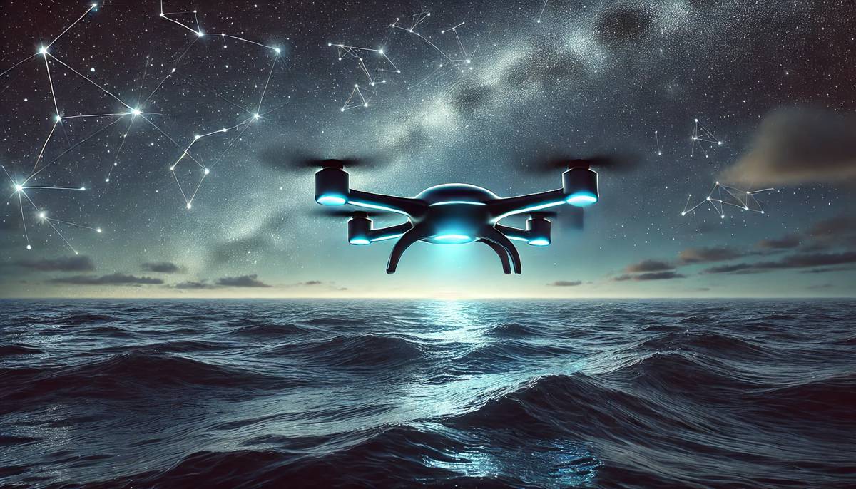
Amid rising concerns over GPS jamming in drone warfare, researchers from the University of South Australia (UniSA) have unveiled a cutting-edge navigation system that ditches GPS entirely in favour of the stars. This celestial navigation technology offers a robust, lightweight, and affordable solution, positioning itself as a game-changer in defence, environmental monitoring, and beyond.
The Problem with GPS: A Vulnerable Foundation
For years, GPS (Global Positioning System) has been the backbone of drone navigation. However, its reliance on satellite signals makes it susceptible to jamming or spoofing, particularly in high-stakes environments like warfare zones or remote locations. This vulnerability has left researchers scrambling for alternatives to ensure drones can operate reliably, even when GPS is compromised. One such approach involves advanced signal processing techniques, such as using a lowpass filter to reduce interference and improve the accuracy of onboard navigation systems.
In modern warfare, GPS denial has become a powerful tool. Jamming attacks can leave UAVs stranded, unable to locate their position or complete critical missions. The stakes are high, and the need for a resilient navigation method has never been more pressing.
Introducing Star-Based Navigation: Simplicity Meets Innovation
UniSA’s research team, led by Dr Samuel Teague and Professor Javaan Chahl, has stepped up to the challenge with a novel approach. By combining celestial navigation with vision-based technology, they’ve developed a navigation system that uses visual data from stars to guide drones. This method relies on an algorithm that processes starlight through the drone’s autopilot system, enabling accurate positioning without the need for traditional satellite signals.
Unlike bulky and complex star-tracking systems of the past, this innovation is compact and affordable. As Dr Teague explains: “Unlike traditional star-based navigation systems, which are often complex, heavy and costly, our system is simpler, lighter and does not need stabilisation hardware, making it suitable for smaller drones.”
Testing the system on a fixed-wing drone produced impressive results, achieving positioning accuracy within four kilometres. This is a remarkable feat considering the system’s cost and simplicity.
Key Advantages of Celestial Navigation
The brilliance of this star-based system lies in its practicality. Built with commercially available components, it offers numerous advantages:
- Non-Emissive Navigation: Passive celestial navigation doesn’t emit signals, making drones virtually undetectable. This stealth advantage is critical in military applications.
- Lightweight and Affordable: Designed with minimal hardware, the system is significantly lighter and less expensive than traditional alternatives.
- Resilient to GPS Jamming: By bypassing GPS entirely, drones using this technology are immune to jamming, making them ideal for GPS-denied environments.
Senior researcher Professor Chahl highlights the wide-ranging applications of this technology: “GNSS denial is an increasing challenge, and our research addresses this gap. We have developed a navigation method that’s resilient, independent of external signals, and achievable with low-cost, easily accessible components.”
Defence and Beyond: Expanding Applications
While defence is the most obvious beneficiary of this breakthrough, the potential applications extend far beyond the battlefield. Environmental monitoring, especially in remote or uncharted areas, stands to gain significantly. Imagine drones surveying the Arctic, monitoring endangered species, or conducting long-range oceanographic studies without the risk of losing signal.
Professor Chahl elaborates: “For instance, in environmental monitoring over remote locations or long-endurance surveillance missions where GPS might be unavailable or compromised, this technology offers a valuable new capability.”
The combination of affordability, simplicity, and resilience makes this system adaptable to a variety of industries. From commercial drones to advanced defence UAVs, its potential to transform operations is undeniable.
A Step Towards Autonomous Excellence
The development of this celestial navigation system forms part of UniSA’s larger research program into autonomous drone technologies. Supported by the Commonwealth Scholarships Program and the Australian Government Research Training Program, this project underscores the university’s commitment to driving innovation in defence and civilian applications.
By integrating passive celestial cues with vision-based systems, UniSA’s approach challenges conventional navigation paradigms. It’s a bold step forward, leveraging cutting-edge technology to address one of UAV navigation’s most pressing challenges.
A Bright Future for Star Navigation
As drones continue to reshape industries and redefine possibilities, the need for resilient, versatile navigation systems will only grow. UniSA’s celestial navigation innovation is a testament to the power of creative problem-solving and technological advancement. By turning to the stars, researchers have illuminated a new path forward—one where drones can navigate confidently, even when GPS is out of reach.
Whether it’s enhancing defence capabilities, monitoring fragile ecosystems, or enabling long-endurance missions, this star-based navigation system promises a brighter, more secure future for UAV technology.


