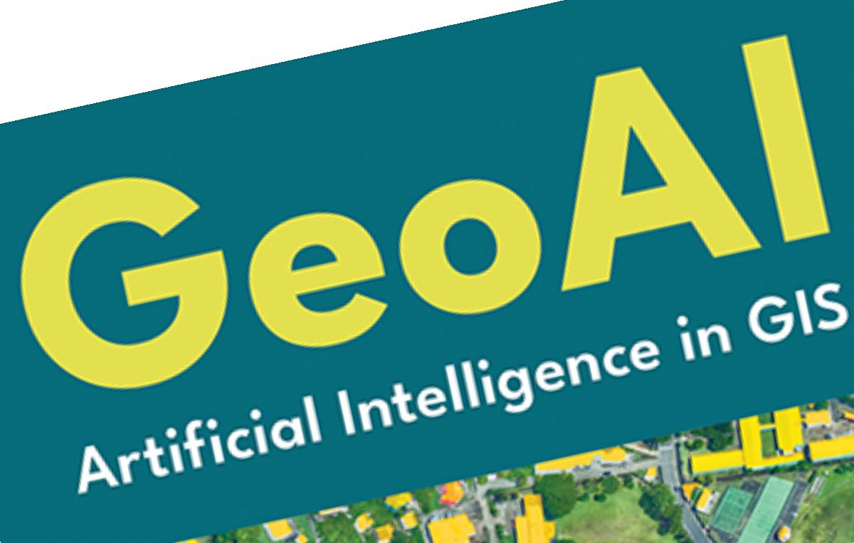
Esri’s New Book Unlocks the Power of Artificial Intelligence in GIS
Esri, a global leader in geographic information system (GIS) software, has published a ground-breaking book, GeoAI: Artificial Intelligence in GIS, which explores how artificial intelligence is reshaping geospatial analysis. The release is more than just a publication, it’s a timely showcase of how AI-driven GIS, known as GeoAI, is already transforming industries, accelerating automation, sharpening predictions, and optimising decision-making.
Jack Dangermond, Esri’s president, summed up the essence of this innovation: “GeoAI is the integration of spatial analysis, AI, and big data. It is creating new insights that promise to transform our understanding of the world.”
Why GeoAI matters now
The global challenges facing societies today, from climate change and urbanisation to disaster response and supply chain disruptions, require faster, smarter, and more efficient decision-making. GIS has long been the trusted tool for making sense of data through the lens of geography, but the integration of AI now propels it into a new dimension.
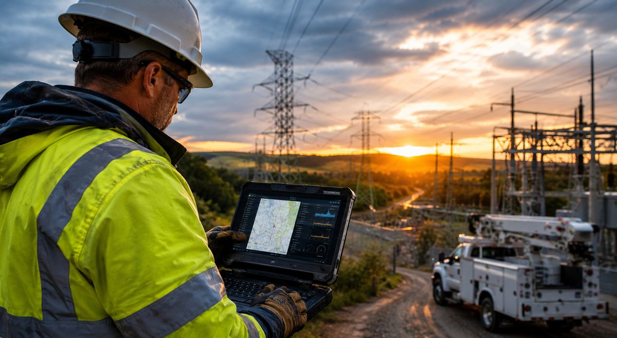
GeoAI automates complex analyses that once demanded countless hours of manual processing. By teaching algorithms to recognise spatial patterns, predict outcomes, and recommend actions, organisations are able to unlock unprecedented insights from their data. For industries under pressure to do more with less, this isn’t just useful, it’s essential.
Real-world applications across sectors
The book demonstrates GeoAI’s potential with case studies drawn from public and private organisations, NGOs, and nonprofits. These real-world stories show how GeoAI is already being used to:
- Optimise disaster response by predicting where aid is needed most.
- Improve city planning with simulations that anticipate population growth and infrastructure needs.
- Monitor environmental change by analysing satellite imagery at scale.
- Support agriculture with predictive analytics on soil health and crop yields.
- Enhance public safety through predictive policing and smarter emergency response.
By automating data-heavy processes, GeoAI empowers teams to focus on strategy and decision-making, rather than being bogged down in data wrangling.
A primer and a roadmap
Edited by Ismael Chivite and Nicholas Giner, both senior product managers at Esri, alongside Matt Artz, principal content strategist for Esri Press, GeoAI: Artificial Intelligence in GIS is designed as both a primer and a guide. It introduces the core concepts behind GeoAI while offering practical strategies, tools, and frameworks for adopting it.
Whether the reader is a policymaker grappling with urban development, a researcher modelling climate impacts, or a business executive exploring operational efficiency, the book provides a clear pathway to integrating GeoAI into workflows.
Esri’s global influence
Founded in 1969 in Redlands, California, Esri has become synonymous with GIS innovation. Today, its software powers location intelligence in hundreds of thousands of organisations worldwide, from Fortune 500 companies to government agencies, universities, and nonprofits. With regional offices, distributors, and partners in over 100 countries, Esri continues to champion the role of geography in solving complex global challenges.
Its track record is formidable. Esri technology has supported everything from mapping disease outbreaks to monitoring natural resources, and now GeoAI is extending that impact even further. By embedding AI into geospatial workflows, Esri is offering its users tools that can predict, optimise, and automate at scale.
The technology behind GeoAI
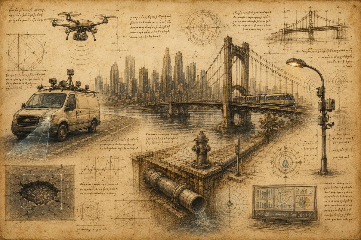
At its core, GeoAI leverages machine learning, deep learning, and big data analytics to enhance GIS. For instance, convolutional neural networks can be trained to detect features in satellite imagery, such as deforestation patterns or urban sprawl. Predictive algorithms can model traffic congestion or energy consumption. Natural language processing allows analysts to integrate unstructured data, like social media posts or text reports, into geospatial models.
The implications are enormous. By pairing human expertise with AI capabilities, organisations can accelerate analysis, improve accuracy, and uncover insights that might otherwise go unnoticed.
Accessibility and availability
GeoAI: Artificial Intelligence in GIS is available in both paperback (ISBN: 9781589488441, US$39.99) and ebook formats (ISBN: 9781589488458, US$39.99). The book can be purchased from major online retailers worldwide. For distribution, Esri Press partners with Ingram Publisher Services, ensuring broad accessibility for both individual readers and booksellers.
Expanding the conversation
Esri’s new release arrives at a pivotal time. As industries worldwide grapple with the complexities of digital transformation, the integration of AI into GIS offers a practical, proven way forward. The book doesn’t just provide success stories, it offers inspiration for organisations to start their own GeoAI journey.
The authors emphasise that this is not technology for technology’s sake. Instead, it’s a natural evolution of how humans have always sought to understand their environment. By blending geography, data science, and AI, GeoAI opens a window to smarter, more sustainable ways of managing resources and responding to crises.
GeoAI is not a passing trend
As data volumes continue to grow and the demand for actionable insights intensifies, GeoAI will become a cornerstone of digital strategies across industries. Esri’s book signals a broader shift in how professionals approach geospatial data: less about manual interpretation, more about intelligent automation.
For construction and infrastructure, the implications are profound. Imagine predictive models that anticipate traffic congestion during roadworks, AI-driven tools that monitor structural integrity in real time, or automated systems that optimise logistics for large-scale projects. These are not distant possibilities, they are within reach today.
A new chapter for geospatial intelligence
Esri’s GeoAI: Artificial Intelligence in GIS isn’t just a book, it’s a call to action. It invites leaders, innovators, and practitioners across industries to harness the combined power of geography and artificial intelligence. In doing so, it sets the stage for smarter, faster, and more resilient decision-making in a world that desperately needs it.