Geomatics Re‑imagined with Topcon and Amberg at INTERGEO 2025
At INTERGEO 2025 in Frankfurt, Topcon Positioning Systems is pivoting aggressively into the future of geomatics, unveiling a bold expansion of hardware and software tools aimed at binding once‑disparate workflows into one seamless ecosystem.
Meanwhile, Topcon’s newly announced collaboration with Amberg Technologies promises to inject specialised rail and tunnel capabilities into that ecosystem, a timely move in an age of increasing urban density and infrastructure complexity.
Below is a restructured, in‑depth look at the announcements, with fresh context, analysis, and insight for decision‑makers in construction, geospatial investment, and policy.
Topcon Declares Geomatics a Core Business
Topcon has formally elevated geomatics from a peripheral unit to a stand‑alone global business structure. The rationale is clear: as the volume, velocity, and complexity of spatial data multiply, collecting points and producing maps is no longer sufficient. According to Ivan Di Federico, President and CEO: “By elevating geomatics into its own global business group, we are signalling that this discipline is vital, not just for traditional professionals, but for every sector where spatial intelligence drives efficiency and growth.”
Neil Vancans, tapped to lead the new Geomatics Sales Unit, framed the challenge starkly: “We are entering a new chapter focused on helping professionals work smarter by streamlining workflows, boosting collaboration, and simplifying digital transformation.”
In short: Topcon now sees geomatics not as an add‑on to surveying and construction, but as a domain unto itself, a domain that bridges field capture and decision making layers.
This move mirrors a broader trend in the industry. Geospatial data is now foundational to smart infrastructure, digital twins, autonomous mobility, net‑zero planning, and more. Separating geomatics gives it executive weight, budget clarity, and a dedicated channel for innovation.
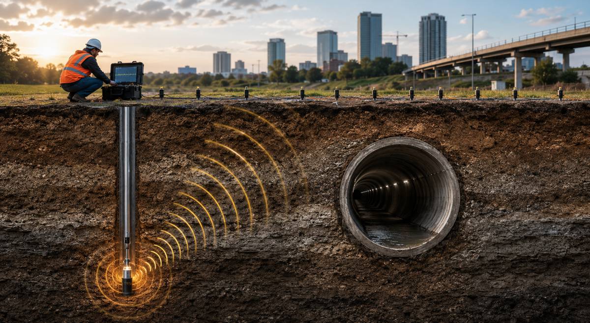
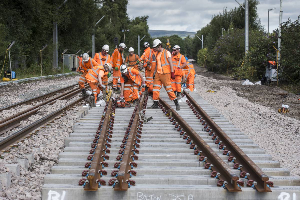
Interoperable Rail & Tunnel Innovation
At INTERGEO, Topcon also revealed a collaboration with Amberg Technologies to deliver integrated solutions for rail and tunnel applications. The core ambition: make Topcon’s precision positioning systems compatible with Amberg’s domain‑specific hardware and software for subterranean projects.
Ivan Di Federico elaborated: “By working with Amberg Technologies, we are ensuring that our shared customers can connect Topcon’s positioning technologies with Amberg’s purpose‑built rail and tunnel systems for truly comprehensive project workflows.”
From Amberg’s side, Felix Amberg emphasised the synergy: “These innovations are key technologies we also need for underground applications. Leveraging what Topcon has already developed … will represent a tremendous step forward for the growing underground market.”
Johannes Mueller, CEO of Amberg Technologies, added: “You need to be part of an ecosystem … For us, Topcon is a very strong strategic partner … we get access to technologies we never had before … this will bring out new solutions. There is an abundance of positive opportunities moving forward.”
What That Integration Brings
- Track alignment, tunnel profiling & volumetric analysis become more fluid when positional and geometrical data flow between systems without conversion errors.
- Data translation gaps, a perennial pain point in multi‑vendor environments, are reduced.
- The partnership meets surging demand for underground infrastructure driven by densification, aging assets, and constrained surface options.
In short: the agreement extends Topcon’s ambition deeper, into tunnels, rail beds, and subterranean networks, while giving Amberg enhanced positioning and data capture capabilities.
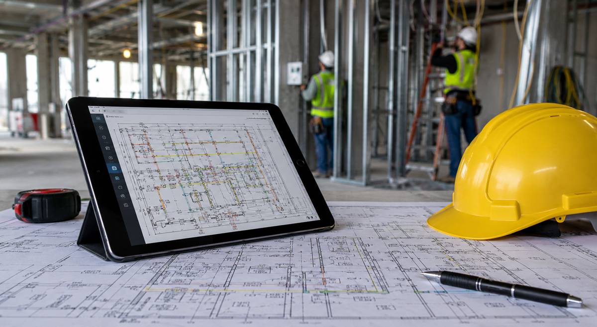
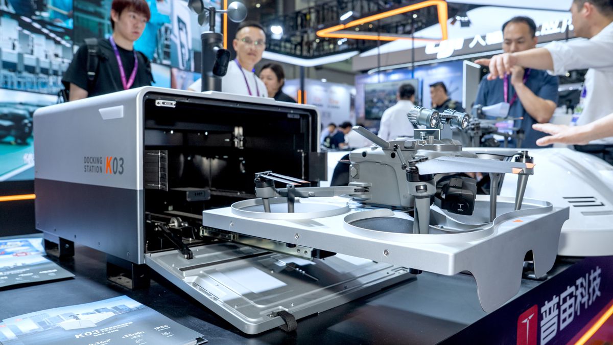
Inside the Expanded Geomatics Portfolio
Topcon’s geomatics push comes to life through a wide array of newly announced hardware, software, and hybrid systems. These offerings aim to knit field capture, office processing, and enterprise delivery into a cohesive continuum.
Core Software Foundations: Collage & ClearEdge
At the heart of the connected system are Topcon Collage and ClearEdge. Collage serves as a central data hub across field, web, and office platforms, facilitating:
- Feature extraction
- Data sharing among stakeholders
- Export into GIS, BIM, or CAD systems
Topcon is also deploying the Collage Cloud Connector, a Windows application that automates synchronisation with Autodesk and ClearEdge platforms (e.g. EdgeWise, Verity).
ClearEdge, in turn, offers complementary tools like EdgeWise and Verity for advanced processing and validation. Together, the stack supports a “connected workflow”, one in which raw capture, processing, quality assurance, and delivery flow with minimal friction.
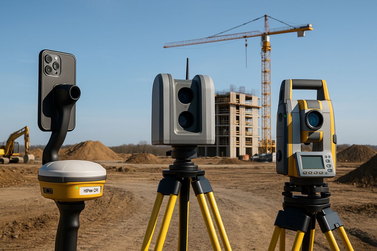
Sensor & Scanner Portfolio
Topcon’s new lineup spans handheld, terrestrial, hybrid, and layout devices, each targeting specific field contexts. Below is a breakdown:
- CR‑H1 Handheld Scanner: Uses an iPhone Pro paired with LiDAR, georeferenced imagery, and the HiPer CR receiver to deliver centimetric accuracy (via RTK from Topnet Live). Mounted on a single‑hand handle, it offers mobility and high flexibility in mapping sites.
- CR‑M1 with Onami Software: A backpack or pole‑mounted scanner fit for both indoor and outdoor environments. Ideal for multi‑floor buildings, underground spaces, mines, stockpiles, forests. The CR‑M1 links to Collage Web for immediate 3D visualisation and editing.
- CR‑P1 Terrestrial Laser Scanner: Designed for real‑time georeferenced point cloud generation. Works in concert with enhancements to Collage Site software, enabling mass data workflows on the fly.
- CR‑S2 Handheld (SLAM + RTK Fusion): Uses multiple localisation fusion and SLAM techniques for mapping in challenging or featureless contexts (beaches, farmland, open airport terrain). RTK bolsters positional accuracy in open settings.
- LN‑1000i Layout Navigator + Digital Layout 2.0: A new variant in the Layout Navigator family featuring reflectorless measurements, a green laser pointer, a built‑in camera, and improved prism lock. Combined with Topcon’s Digital Layout software, it redefines on‑site layout performance.
- Hybrid Positioning Upgrades: With version 10 of Topcon Field software, users can mix GNSS (HiPer XR) and robotic total station use, even factoring in IMU tilt when measuring to prisms. This gives flexibility in transitioning between optical and satellite-based measurements on the fly.
These offerings reflect an overarching principle: flexibility. Topcon emphasises integration of sensors across price and accuracy tiers into a shared platform, so customers can pick the right tool for the right job.
Charting the Future of Spatial Intelligence
Topcon’s announcements at INTERGEO 2025 aren’t just product reveals, they reflect a deeper bet on the dominance of spatially integrated systems in infrastructure, construction, and geospatial industries. By making geomatics its own business domain and partnering with Amberg for subterranean expansion, Topcon is staking its claim across verticals.
If the execution lives up to the promise, seamless interoperability, intuitive workflows, fluid updates, this could shift the benchmark for what professionals expect from positioning and mapping systems. In short, the conversation is evolving from “which sensor” to “which ecosystem.”
For contractors, surveyors, investors, and policy makers alike, the era ahead demands not just data, but tightly connected platforms that elevate data into insight, decision, and action. Topcon is clearly aiming to lead that transition.