Topcon Partners With Fixposition To Solve GNSS Blind Spots
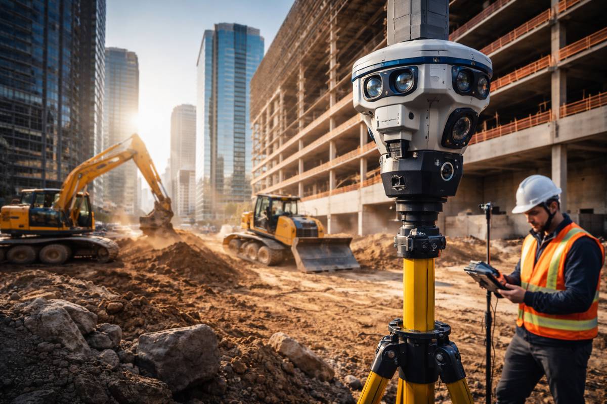
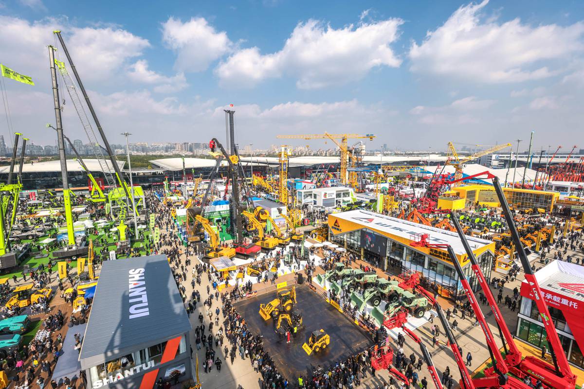
For decades, construction productivity has depended on one quiet assumption. Machines, rovers and layout crews can always see the sky. From open highways to farmland, satellite positioning works beautifully. Yet modern infrastructure isn’t being built in empty landscapes anymore. It is being built in cities, tunnels, ports, factories and dense transport corridors where satellites frequently disappear behind concrete and steel.
That gap between theoretical precision and real world availability has become one of the industry’s most expensive hidden inefficiencies. Surveyors lose time re-establishing control points. Machine control pauses inside structures. Robotics systems revert to manual guidance. Autonomous workflows stall precisely where projects are most complex and valuable.
A newly announced collaboration between Topcon Positioning Systems and Swiss localisation specialist Fixposition represents more than a technical integration, it signals a shift in how positioning is defined in construction and geomatics. Instead of asking how accurate GNSS can be, the industry is starting to ask whether satellite positioning should be relied upon alone at all.
Moving Beyond Sky Dependent Surveying
High precision RTK GNSS transformed construction over the past twenty years. Earthmoving automation, digital terrain modelling and stake free layout all grew from centimetre level satellite positioning. However, the technology was designed for open air environments.
Urbanisation has changed the operating environment dramatically. According to UN urban development projections, more than two thirds of global infrastructure investment over the next three decades will occur in urban or peri urban areas. These are precisely the environments where multipath reflections, signal blockage and satellite geometry degrade GNSS performance.
Ron Oberlander, head of the Topcon Geomatics Platform, explained the problem: “Customers are increasingly working in environments where satellite connection can be challenging, such as dense urban environments, and need consistent, reliable positioning to maintain productivity,”
In practice, the issue is not simply losing position. It is workflow interruption. Surveyors switching tools, operators reverting to manual control and robotic equipment halting operations introduce inefficiencies that compound across project timelines.
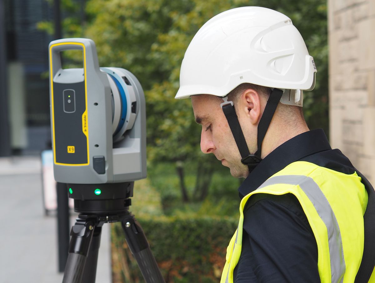
Visual RTK and Sensor Fusion Enter Construction
Fixposition’s approach addresses a limitation long recognised in robotics but only recently applied to heavy industry. Instead of relying on a single positioning source, the company combines cameras, inertial measurement units and GNSS corrections using artificial intelligence driven sensor fusion.
The system, known as xFusion, merges visual localisation with RTK corrections. In simple terms, the equipment observes its surroundings while simultaneously referencing satellite coordinates. When satellites disappear, the visual and inertial model maintains continuity. When satellites reappear, the solution self corrects.
Zhenzhong Su, CEO and co founder of Fixposition, described the objective: “We’re proud to supply Fixposition’s xFusion, vision and multi-modality fusion positioning technology to support Topcon’s next-generation GNSS solutions,
“We look forward to bringing this new solution to market, helping surveying professionals across geomatics, construction, and agriculture deliver faster results and get more done without compromising quality, even in GNSS-challenging environments.”
This hybridisation matters because construction increasingly mirrors robotics navigation challenges. Excavators operating beneath bridges, graders inside logistics hubs and agricultural machinery under tree canopy all share the same positioning failure points.
The Role of AI in Continuous Positioning
The integration combines Topcon RTK corrections and its Topnet Live network with visual aided positioning algorithms. Artificial intelligence plays a central role. Rather than simple dead reckoning, the system interprets features in the environment and recognises them later, similar to simultaneous localisation and mapping used in autonomous vehicles.
Oberlander emphasised this capability: “Fixposition offers technology that augments satellite positioning, beneficial for users even while working inside structures and in indoor-outdoor transitions, without disrupting workflows by combining RTK GNSS with artificial intelligence to ensure position accuracy. We see this AI-enabled technology as an innovative integration with our next-generation GNSS solutions.”
The importance lies in continuity rather than peak precision. Traditional GNSS solutions provide centimetre accuracy outdoors and zero indoors. Sensor fusion provides slightly lower accuracy but almost everywhere. From a productivity standpoint, continuous accuracy often wins.
From Surveying Tool to Digital Workflow Backbone
Construction is shifting toward automated workflows rather than individual measurement tasks. Digital twins, automated machine control and robotic inspection systems require persistent positioning awareness.
A robotic layout device cannot pause every time it enters a building. An automated compactor cannot lose alignment inside a tunnel. Infrastructure monitoring cannot depend solely on open sky conditions.
Research from the International Federation of Surveyors shows that downtime related to positioning interruptions can account for up to 10 percent of field survey time on complex urban projects. As construction margins tighten, eliminating these interruptions delivers tangible financial value.
The Topcon Fixposition collaboration addresses this operational layer rather than hardware specifications. The technology becomes a workflow stabiliser, enabling consistent data capture across environments previously considered separate positioning domains.
Implications for Autonomous and Semi Autonomous Machinery
The timing aligns closely with automation trends in heavy equipment. Major OEMs are deploying semi autonomous earthmoving systems and remote operations in mining and construction. These systems require reliable localisation to function safely.
Autonomy depends less on accuracy in perfect conditions and more on reliability in imperfect ones. A loader that knows its position within three centimetres outdoors but loses localisation inside a structure cannot operate autonomously.
Sensor fusion positioning has already become standard in autonomous vehicles, drones and warehouse robotics. Construction equipment is following the same path. The collaboration effectively imports robotics grade localisation into geomatics hardware ecosystems.
Because Fixposition has already integrated Topcon RTK corrections into its Vision RTK sensors since 2023, the new agreement represents scaling rather than experimentation. Access to the Topnet Live correction network across North America and Europe provides the geographic backbone required for commercial deployment.
Agriculture and Infrastructure Management
Although construction is the immediate beneficiary, agriculture and infrastructure inspection may see equal impact. Modern precision agriculture increasingly operates near tree lines, farm buildings and varied terrain where satellite visibility fluctuates.
Similarly, asset inspection in rail yards, ports and industrial facilities occurs almost entirely in obstructed environments. Traditional surveying tools require switching between indoor scanning and outdoor GNSS systems. Hybrid positioning removes that boundary.
The significance lies in data continuity. Instead of stitching datasets together after capture, workflows remain georeferenced from start to finish. That reduces processing time and potential alignment errors in digital twins.
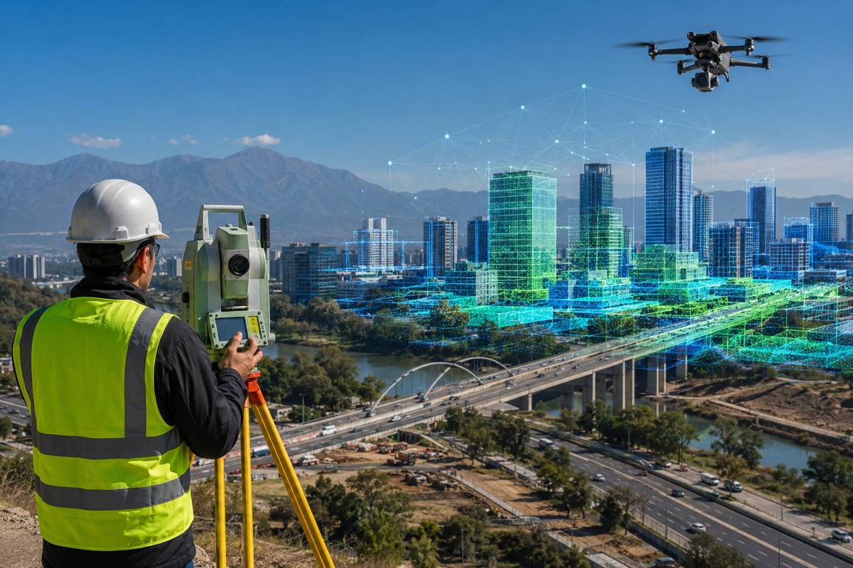
Toward Multi Sensor Geospatial Systems
The geospatial sector is moving toward integrated sensing. LiDAR, photogrammetry, SLAM mapping and GNSS are no longer separate disciplines. They are converging into unified positioning frameworks.
Announced at Geo Week 2026 in Denver, the agreement reflects that convergence. Hardware manufacturers increasingly partner with perception and AI specialists rather than attempting to build all technologies internally. It mirrors developments in automotive and robotics industries where collaboration accelerates innovation.
Topcon Positioning Systems, headquartered in Livermore California with European headquarters in Zoetermeer, has historically specialised in precision measurement hardware and correction services. Fixposition focuses on deep fusion localisation combining vision, IMU and GNSS technologies. Together they bridge the gap between measurement accuracy and environmental awareness.
What Continuous Positioning Enables Next
Reliable localisation unlocks more than productivity improvements. It enables new categories of application.
Permanent positioning awareness allows automated quality assurance where machines record as built geometry continuously. It supports robotic inspection systems navigating inside operational infrastructure. It enables real time asset tracking within industrial facilities without installing indoor beacons.
In effect, positioning evolves from a measurement step into a persistent infrastructure service, similar to connectivity or power. Once reliability crosses a threshold, new workflows emerge naturally.
The Industry Moves From Precision to Availability
For years manufacturers competed on accuracy specifications measured under ideal conditions. The market is shifting toward operational reliability measured under real conditions.
Continuous positioning inside and outside structures may not attract headlines like autonomous excavators, yet it underpins them. Without dependable localisation, automation cannot scale beyond controlled demonstrations.
The collaboration between Topcon and Fixposition therefore reflects a broader change in thinking. The question is no longer how accurate positioning can become when everything is perfect. It is how dependable positioning remains when nothing is.
As construction becomes digital, urban and automated, that distinction will define the next generation of productivity gains.