Motif Redefines BIM with Real-Time Collaboration for a Connected Built Environment Motif, Inc. has made i ...
-
Motif Redefines BIM with Real-Time Collaboration for a Connected Built Environment

Motif Redefines BIM with Real-Time Collaboration for a Connected Built Environment
-
Hesai Hyper-Hemispherical Mini 3D Lidar for Robotics Unveiled at CES

Hesai Hyper-Hemispherical Mini 3D Lidar for Robotics Unveiled at CES
-
Trimble SketchUp Achieves Milestone With Over One Million Active Subscribers

Trimble SketchUp Achieves Milestone With Over One Million Active Subscribers
-
Revolutionary Neural Network Bringing 3D Life to Ancient Reliefs

Revolutionary Neural Network Bringing 3D Life to Ancient Reliefs
-
Building Tomorrow with the Top Construction Industry Trends for 2025

Building Tomorrow with the Top Construction Industry Trends for 2025
-
Unlocking the Secrets of the Proton with a 3D Map of Matter’s Building Blocks

Unlocking the Secrets of the Proton with a 3D Map of Matter’s Building Blocks
-
Bentley Systems acquires Cesium to transform 3D Geospatial Technology

Bentley Systems acquires Cesium to transform 3D Geospatial Technology
-
Enhanced VR with Resolve App Portal to connect 3D and 2D Construction Data
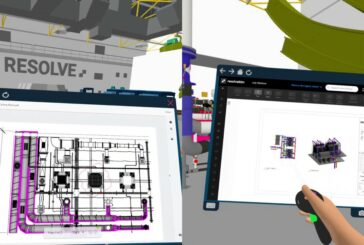
Enhanced VR with Resolve App Portal to connect 3D and 2D Construction Data
-
Revolutionising Spatial Analytics with Esri, Microsoft and IBM

Revolutionising Spatial Analytics with Esri, Microsoft and IBM
-
Assets of VeriDaaS acquired by The Sanborn Map Company
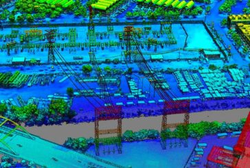
Assets of VeriDaaS acquired by The Sanborn Map Company
-
iGUIDE immersive 2D and 3D Drawing Packages released

iGUIDE immersive 2D and 3D Drawing Packages released
-
Bentley Technology saves $7m for Mountain Roadway Upgrade in Colorado
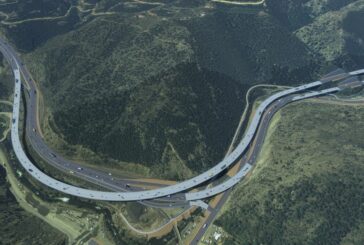
Bentley Technology saves $7m for Mountain Roadway Upgrade in Colorado
-
Esri ArcGIS Basemaps now integrated into Autodesk Civil 3D and AutoCAD

Esri ArcGIS Basemaps now integrated into Autodesk Civil 3D and AutoCAD
-
Interchange Project in South Africa improved using Connected Digital Environment
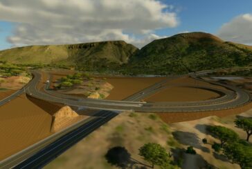
Interchange Project in South Africa improved using Connected Digital Environment
-
Unlock glasses-free 3D using LeiaSR Technology
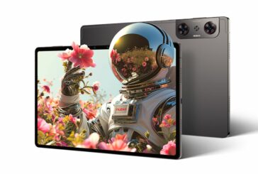
Unlock glasses-free 3D using LeiaSR Technology
-
Digitizing Critical Infrastructure to Reduce Emissions

Digitizing Critical Infrastructure to Reduce Emissions


