World Bank and disruptive technology brings Smart City Planning to Ho Chi Minh City
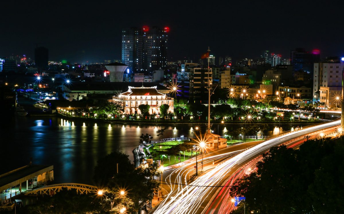
Ho Chi Minh City is Vietnam’s largest commercial centre is now looking at Smart City Planning to manage it’s population of almost 9 million, spanning across 2,000 square kilometres, 24 districts and encompassing over 2.5 million land parcels.
The World Bank works with the Department of Natural Resources environment as well as the Department of Planning and Architecture to assess the applied feasibility of using disruptive new technologies towards helping the city’s smart government ambitions.
Haong Tung, Director of Planning and Architecture, Ho Chi Minh City, said: “Usually, after the planning project is approved, the planning maps are shared with People’s Committee Headquarters in Ho Chi Minh City and also with the Department of Planning and Architecture. However, this traditional method is time consuming and people seeking information need to visit the offices in person.”
Now, cadastral boundaries and zoning information of central districts and Thu Duc district can be accessed on a website and mobile application.
Since 2017, the app has been used more than 1.9 million times by citizens and businesses.
With the innovations, residents and businesses can now get this information through the convenience of both their mobile apps or home-based computers.
This information can simply be referenced by GPS or entered online through a simple Google Earth type click.
For authorities, real-time information provides feedback where land parcel information or zoning information requires updates or validations.
Van Hung Tien, Head of Survey, Mapping and Remote Sensing Division, Department of Natural Resources and Environment, Ho Chi Minh City, said: “We have been working with the World Bank and given the offer to use UAV to capture high resolution photos to monitor the status of land resources.”
Tran Thi Lan Huong, Senior Public Sector Specialist, World Bank, Vietnam, said: “The leadership of Vietnam is committed to realizing the opportunities and addressing the challenges of industry 4.0 and disruptive technologies. Ho Chi Minh City is one of the places that is applying new technologies to respond to increasing demand for good urban governance. But it’s not just about technology. The national policy and legal framework are also important for both government decision making and service delivery.”
It’s hard to see how Ho Chi Minh City will meet its Smart City aspirations without transforming digital governance of land information. To truly leverage the prospect of these technologies the policy, legal and regulatory framework will need to be clarified and in places modernized.
Progressive and innovative combinations of policy and technology have the potential to truly impact urban land governance.


