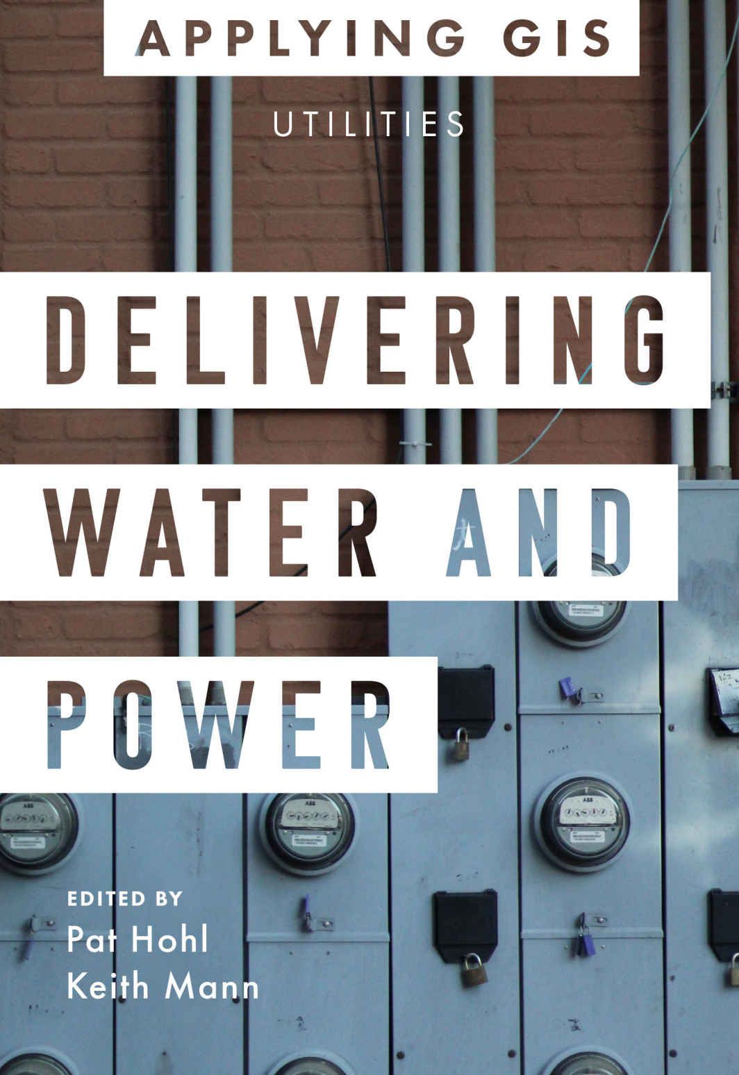
Esri’s new book introduces Water and Power Utilities to GIS Spatial Analytics
Esri, the global leader in location intelligence, today announced the publication of Delivering Water and Power: GIS for Utilities.
More and more, modern utilities are applying technology like sensors and data visualization tools to their operations. Using a geographic information system (GIS), utilities can give context to the wealth of information that’s collected. A well-run utility can be characterized as follows:
- Resilient and reliable
- Operationally flexible
- Safe and secure
- Customer focused
Drawing on real-world examples, Delivering Water and Power: GIS for Utilities addresses each of these characteristics. Contributors from utility organizations around the world share their challenges and successes. Chapters touch on technology upgrades, the application of dashboards, customer information and engagement, and more. Also, help in getting started with GIS is provided for each section.
Delivering Water and Power is available in print (ISBN: 9781589486751, 150 pages, US$19.99) and as an e-book (ISBN: 9781589486768, US$19.99).
Both editions can be obtained from most online retailers worldwide.
The print edition is also available for purchase at esri.com/esripress or by calling 1-800-447-9778. If outside the United States, visit esri.com/esripressorders for complete ordering options, or visit esri.com/distributors to contact your local Esri distributor.


