Septentrio and XenomatiX partner for accurate LiDAR 3D mapping solutions
Septentrio, a leader in high-precision GNSS/INS positioning solutions, and XenomatiX, provider of true-solid-state-LiDAR technology for autonomous applications and road management solutions, are starting a partnership enabling high-quality Lidar solutions.
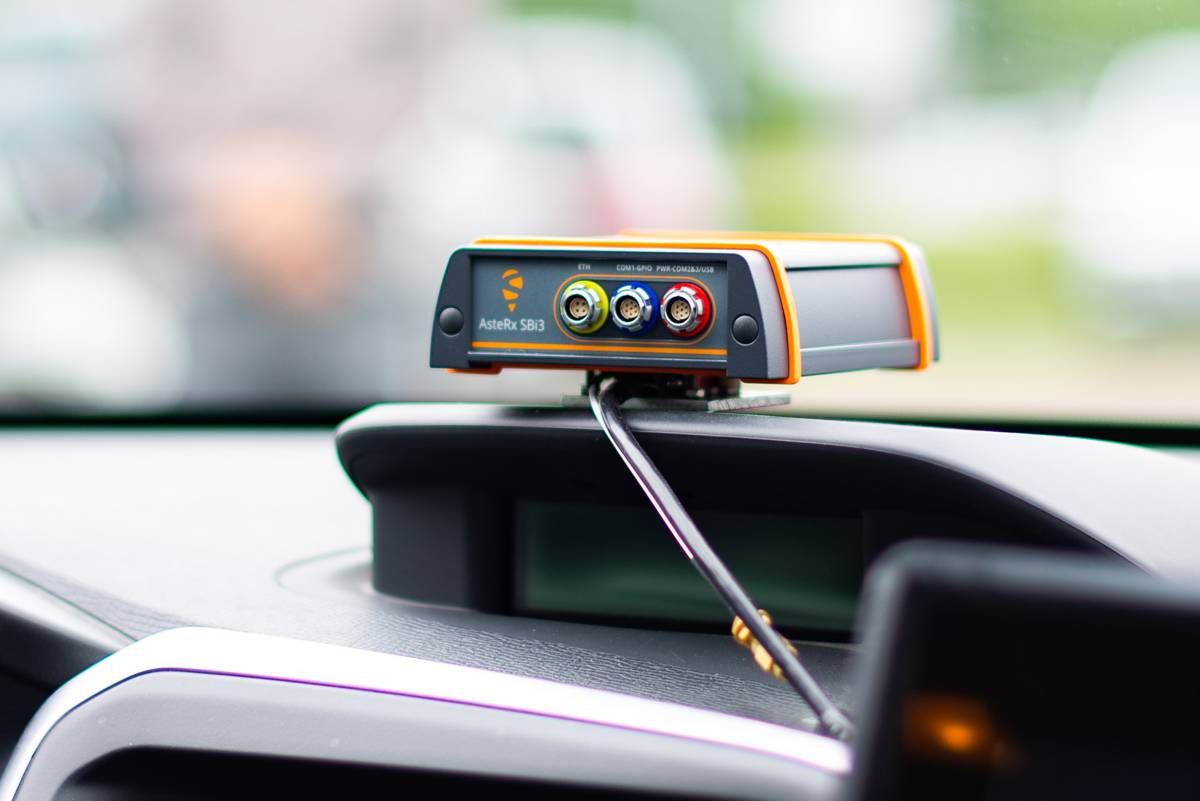
XenomatiX will be using the compact and robust GNSS/INS receiver from Septentrio, AsteRx SBi3 Pro+, to provide millimetre accurate analysis of pavement conditions using global positioning coordinates.
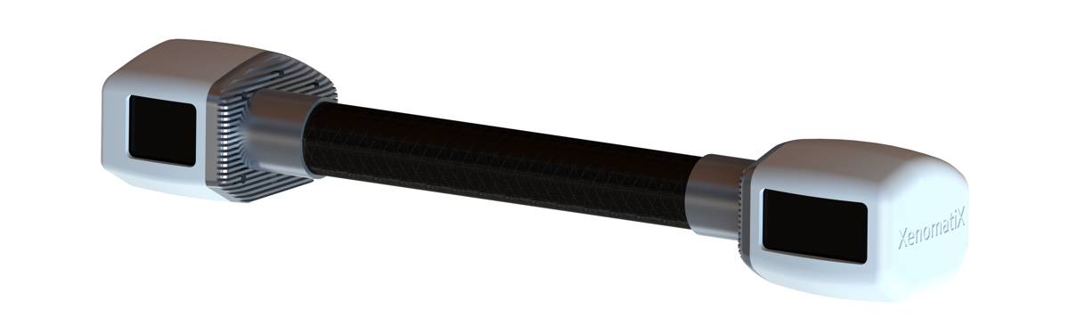
Septentrio’s high-quality GNSS/INS will be a part of Xenomatix’ Road LiDAR called XenoTrack, which has been the solution of choice for road surveyors and road management companies. Septentrio’s AsteRx SBi3, high-performance RTK GNSS/INS receiver with a dual antenna setup, ensures cm-accurate geotagging of the XenoTrack point cloud frames for relative and global millimetre accuracy over large distances. Moreover, the unique inertial GNSS – IMU integration algorithm enables dead-reckoning, which means continuous positioning in environments of low satellite visibility where GNSS outages occur.
While traditional road scanning based on laser profilers rely solely on extremely accurate GNSS/INS to stitch consecutive profiles together, the XenoTrack captures a 3D topography of an entire area in a single shot. XenomatiX’ sensor fusion algorithms combine visual SLAM techniques with GNSS, IMU and CAN to obtain a seamless map of the road shape.
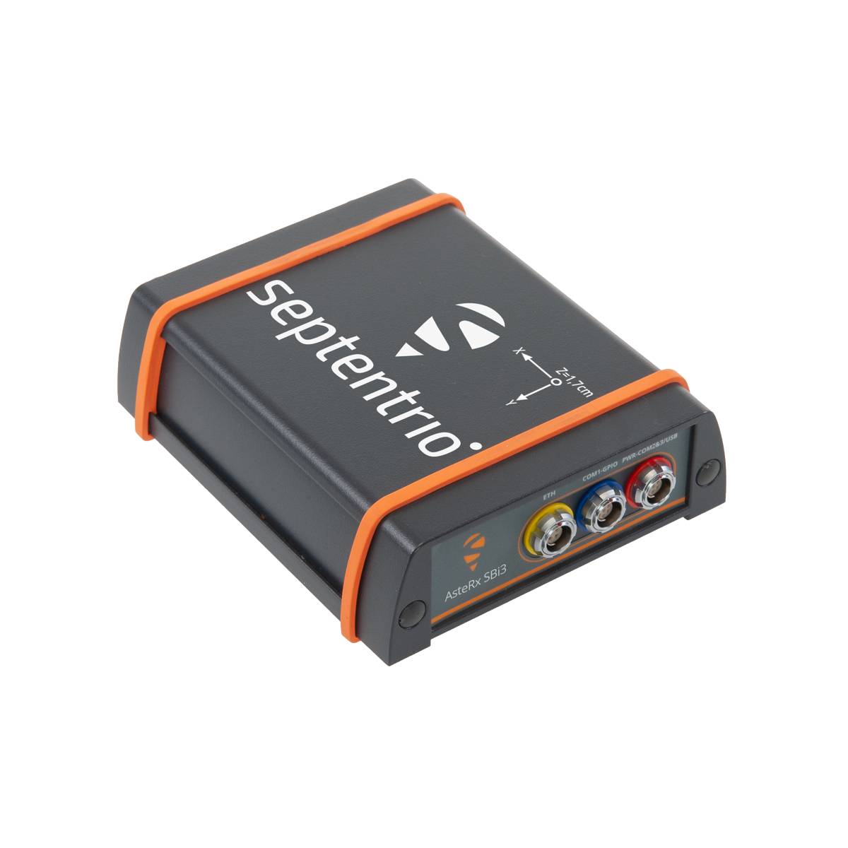
The Septentrio proprietary GNSS+ technology plays a key role in delivering the accuracy and reliability needed for XenoTrack. The AIM+ Advanced Interference Mitigation technology ensures robust positioning even in the presence of a jammers, which may be found aboard vehicles trying to avoid road tolling. When the sky is obstructed for an extended period, the built-in RAIM+ integrity algorithm serves as an indicator of when it is best to give priority to other sensor input to maintain a high-quality solution.
XenomatiX offers a complete mapping system as well as services including data from the XenoTrack sensor, camera and RTK GNSS/INS receiver with dual antenna – all delivered in an easy-to-install solution on a standard vehicle. For more information on XenoTrack or the AsteRX SBi3 Pro+ receiver please visit their product pages.