Esri helps Matanuska manage 10,000 square mile broadband network in Alaska
When a broadband network stretches across a 10,000-square-mile area that includes the rugged, rural terrain of Alaska, it can be a challenge to manage. Expanding that network further requires quickly burying as much cable as possible during warmer construction months, saving harsh winters for making connections.
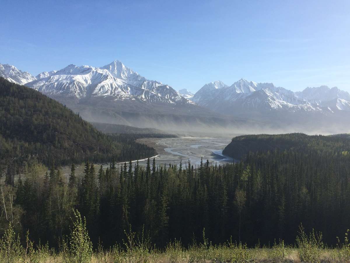
Matanuska Telephone Association (MTA), a major telecommunications provider which offers broadband, television, and phone services across southcentral Alaska, an area roughly the size of the state of Maryland, has been investing heavily in ensuring its customers have access to high-speed internet now and well into the future by building capacity. That’s why they selected GIS software from Esri, the global leader in location intelligence technology.
The MTA, smaller in size compared to its geographic reach, needed a better way of managing its communications network infrastructure across a vast region while also providing field operations and fulfilment teams with mobile applications to do their work remotely, both online and offline. Workers have faced challenging environments, having to quickly react to restore service to its members after wildfires engulfed the area in 2019, for example, making repairs while smoke was still wafting up from the ground. Laying new fibre can take time, too, as it may cross multiple jurisdictions and properties, requiring a host of permits spanning local, state, and federal agencies, as well as approvals from property owners.
By leveraging Esri’s ArcGIS Online, MTA was able to implement and deploy field mobile applications for remote and fulfilment teams leveraging online and offline operations, in one comprehensive view. The utility was also able to streamline operations and workflows by increasing its real-time collaboration and communication capabilities.
“Due to the size of our region, it can be difficult managing network infrastructure across such a large area and providing a contiguous view across the region,” said Sierra Alcantra, plant facilities systems supervisor, MTA.
MTA’s plant facilities systems team implemented their new solution through Esri’s Small Utility Enterprise License Agreement (SU-ELA) program, one specifically designed for smaller communications organizations like MTA to include all the technology necessary for their mapping, digital transformation, and spatial analytics needs including access to support and e-Learning.
“Being a small company, it made sense to purchase an SU-ELA as it provided everything we need for our operations,” continued Alcantra. “It provides our organization with the flexibility and scalability we need to confidently operate our business without having to worry about stopping to add a license whenever needed.”