Esri brings Spatial Context to AEC Operations with release of ArcGIS GeoBIM
Global construction challenges, from affordable housing availability to infrastructure stress as a result of climate change, have increased in recent years. As a result, governments and commercial organizations will need to invest trillions of dollars in the next decade in mitigation and recovery processes.
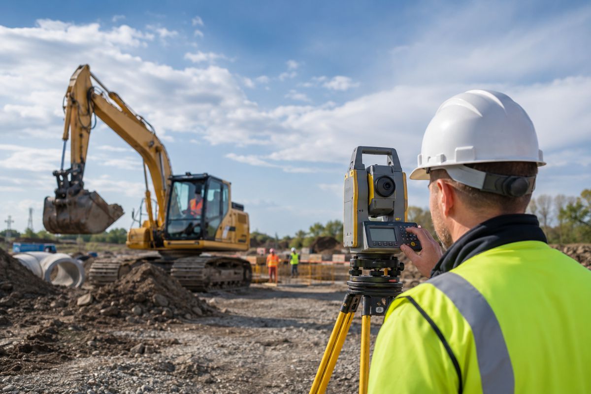
By adopting building information modelling (BIM) and geographic information system (GIS) technology, the architecture, engineering, and construction (AEC) industry improved construction, design, and operations efficiency. Recognizing the benefits for project outcomes that a combined BIM and GIS software would present, Esri, the global leader in location intelligence, joined forces with Autodesk in 2017. The partnership produced new technology, integrating the power of mapping into the BIM process.
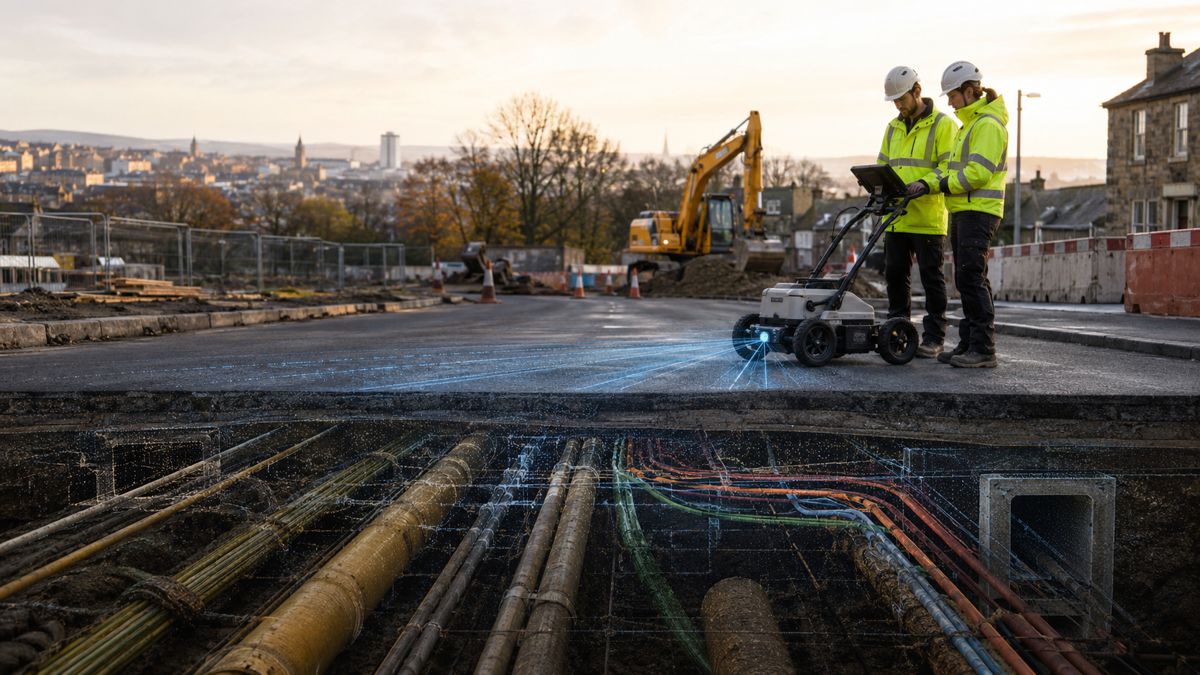
Today, Esri is releasing a new product that expands the ability for BIM project teams to benefit from GIS. ArcGIS GeoBIM provides an innovative, easy-to-use web-based experience for AEC teams to explore and collaborate using data from multiple systems in a geospatial context. ArcGIS GeoBIM connects to Autodesk BIM Collaborate Pro, a cloud-based design collaboration, coordination, and model coauthoring software built on the Autodesk Construction Cloud.
“With many global initiatives under way to improve construction, design, and planning practices, it is critical that today’s AEC professionals can collaborate together with a common view of assets in a geospatial context,” said Jack Dangermond, Esri founder and president. “The ability to operate without siloed data provides AEC professionals with the flexibility they need to work together and meet the challenges of building in the future on an unprecedented scale.”
ArcGIS GeoBIM will provide project leaders and stakeholders in industries like infrastructure, construction, planning, water, and transportation with a common view of asset locations, costs, issues, risks, and timelines throughout the project life cycle.
“Autodesk and Esri’s cloud-to-cloud connection gives our shared customers a unified experience and the information they need at their fingertips—regardless of whether it’s BIM or GIS data,” said Amy Bunszel, Autodesk executive vice president of AEC Design Solutions. “This will improve efficiency and decision-making during planning, construction, and operations. Ultimately, our collaboration will help enable the industry to deliver more sustainable and resilient infrastructure.”
AEC team members can track design, coordination, quality, safety, and commissioning issues by linking data from Autodesk BIM Collaborate with ArcGIS GeoBIM.
“What we need is a single, authoritative source of truth access point for everyone on our team, a way to bring data and information together that originates from multiple formats,” said Darin Welch, HNTB associate vice president and national geospatial and virtual engagement manager. “Esri’s ArcGIS GeoBIM connection to the Autodesk Construction Cloud combines survey, design, and planning workflows that offer a blended BIM-GIS data experience that equips our team with more informed decision-making.”