MFE Inspection Solutions partners with Emesent for Autonomous LiDAR Mapping
MFE Inspection Solutions announced today its appointment as a reseller of Emesent, a world leader in drone autonomy. This partnership will give MFE customers access to the full line of Emesent products including their flagship product Hovermap ST, an autonomy and mapping payload.
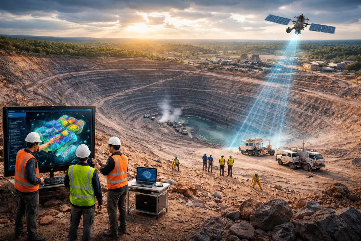
Hovermap is widely used in the mining, infrastructure, surveying, and mapping industries to scan complex environments quickly and safely. Equally capable above ground or underground, indoors or out, Hovermap has built a worldwide reputation for its versatility, ease of use, and data quality.
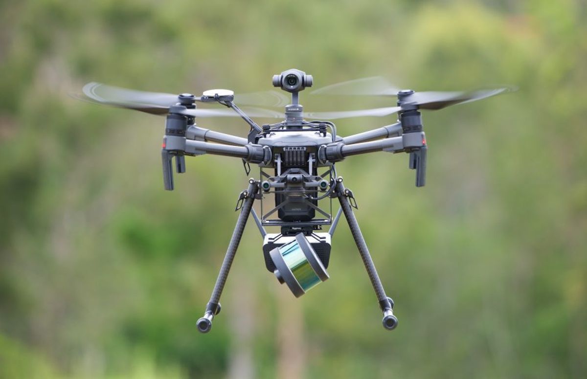
MFE Inspection Solutions’ specialists are excited about what the versatility and accuracy of Hovermap’s technology can mean for their customers. Hovermap can be attached to a supported drone like the DJI 300 RTK and autonomously fly beyond the line of sight and communication range while providing collision avoidance to map inaccessible or GPS-denied areas.
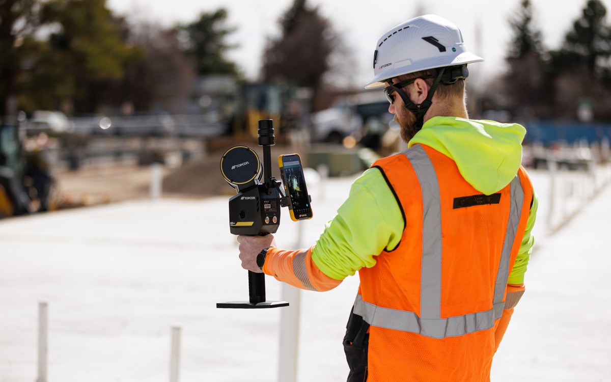
Users may detach Hovermap from the drone to perform handheld inspections or mount it on a vehicle. Hovermap may also be mounted on ground-based robots such as the intuitive Boston Dynamics Spot to capture an entire asset.
“We’re excited to bring this level of technology to our customers. The versatility of Hovermap opens new doors, allowing customers to capture a wide range of data assets that will inform everyday decisions making the industry safer and smarter,” says MFE sUAS Project Manager Cody Menchaca.
Its omnidirectional, LiDAR-based, collision avoidance and stable GPS-denied flight allow drone pilots to fly safely up, close to, inside, or underneath assets, to map them, and capture detailed images. This includes bridges, oil and gas rigs, building facades, and telecom towers.
Dedicated to being a comprehensive inspection solutions provider, MFE is thrilled to bring this new technology to its customers across North America. MFE Inspection Solutions specialists partner with their customers to provide them with the ultimate in specialized training, consulting services, equipment sales and rentals, repairs, and calibrations.
With thousands of hours of autonomous flight logged by customers around the world, Hovermap is proven to be a revolutionary LiDAR mapping and autonomy solution for challenging GPS-denied environments.
MFE Inspection Solutions Houston will be showcasing this new technology at their upcoming Techtoberfest event on October 21 at 6025 Fairmont Parkway, Pasadena, TX 77505.
