Transforming Unmanned Navigation and Robotics Integration with GNSS/INS Sensors
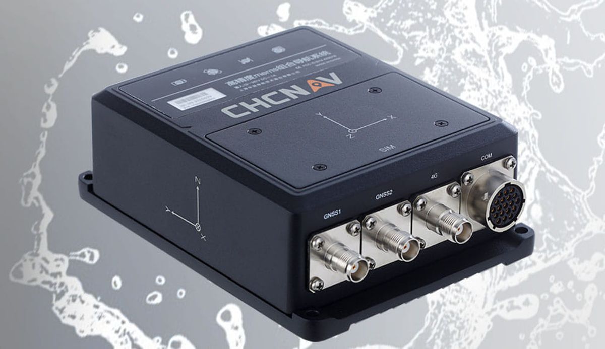
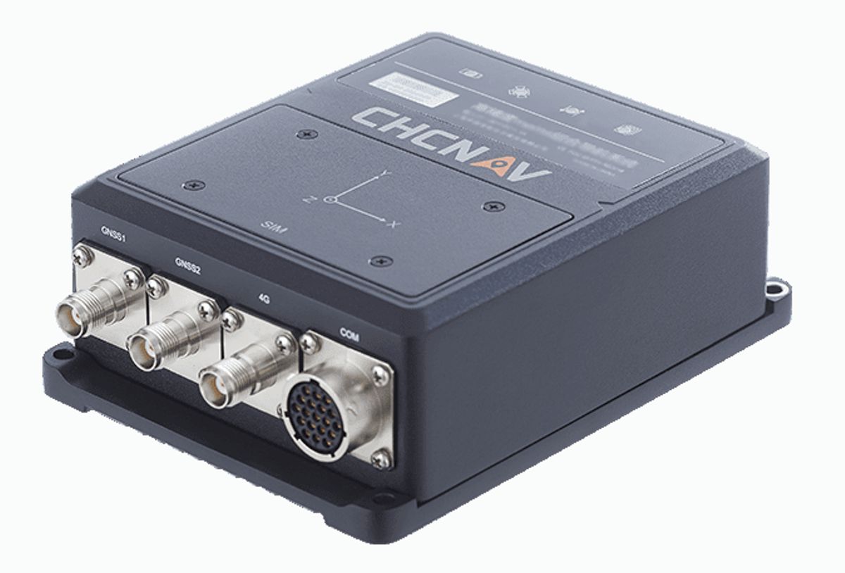
The CHCNav CGI+ 610 is a cutting-edge GNSS receiver designed to revolutionize the world of precise positioning.
With advanced features, exceptional accuracy, and robust construction, the CGI+ 610 is the ultimate solution for high-precision satellite positioning.
Unparalleled Accuracy and Reliability
The CGI+ 610 boasts state-of-the-art technology that ensures unrivalled accuracy and reliability in positioning. Equipped with multi-constellation and multi-frequency capabilities, this receiver provides precise measurements even in challenging environments.
By leveraging signals from GPS, GLONASS, Galileo, and BeiDou, it maximizes satellite availability, minimizes signal interruptions, and significantly reduces the time needed to achieve centimetre-level positioning.
Innovative Anti-jamming Technology
One of the key features that sets the CGI+ 610 apart from other GNSS receivers is its advanced anti-jamming technology. Built to withstand interference caused by radio frequency signals, this receiver delivers uninterrupted and reliable performance especially in highly congested areas.
Whether you are working near power lines, in urban canyons, or in the presence of other RF devices, the CGI+ 610 ensures optimal signal reception and precision.
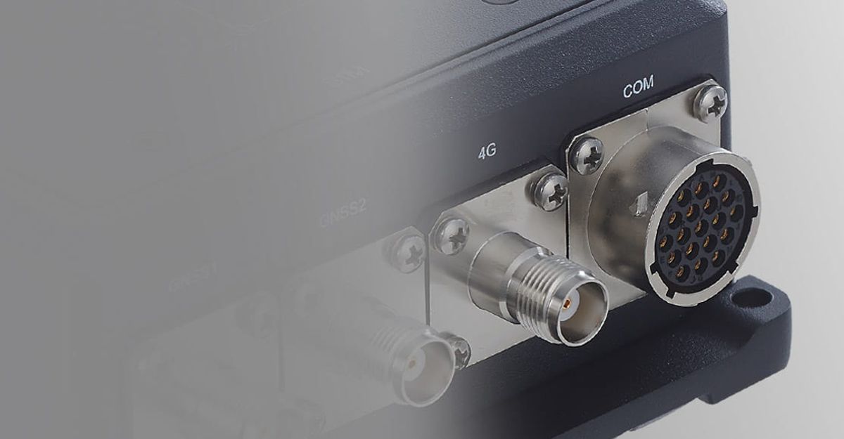
Robust and Versatile Design
Designed to withstand harsh conditions, the CGI+ 610 is also built with durability and versatility in mind. Its rugged housing provides excellent protection against dust, water, and accidental dropping, making it suitable for use in demanding environments such as construction sites, mining operations, and surveying projects.
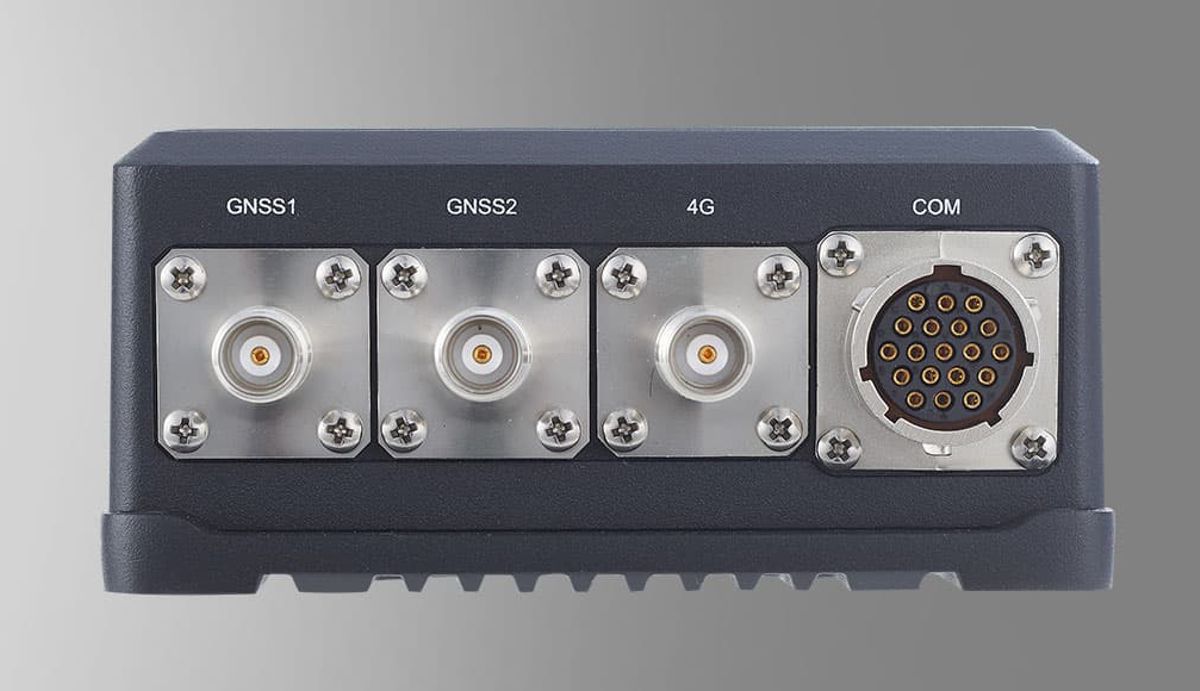
Additionally, the receiver’s flexible setup options enable seamless integration with various field applications and systems, enhancing workflow efficiency and adaptability.
Enhanced Productivity with Intelligent Features
The CGI+ 610 comes equipped with a range of intelligent features that streamline workflows and boost productivity. Its intuitive user interface and user-friendly software allow for quick setup and effortless operation.
The receiver also supports real-time kinematic (RTK) positioning, enabling centimetre-level accuracy in real-time applications. Furthermore, with its long battery life and fast-charging capabilities, the CGI+ 610 ensures extended field work without interruptions.
Applications and Industries
The CGI+ 610 caters to a wide range of industries where precise positioning is critical. Here are just a few examples:
- Surveying and Mapping: In the field of surveying and mapping, the CGI+ 610 empowers professionals to capture accurate geospatial data with ease. From land surveying to cadastral mapping and infrastructure development, this receiver delivers the precision and efficiency required to meet project specifications.
- Construction and Engineering: Construction and engineering projects demand precise positioning for tasks such as machine control, site preparation, and as-built surveys. With its high accuracy and reliable performance, the CGI+ 610 helps construction professionals achieve optimal results, minimize errors, and improve overall project efficiency.
- Agriculture and Precision Farming: In the agriculture sector, the CGI+ 610 plays a vital role in precision farming applications. From guidance systems for planting and harvesting to terrain analysis and crop monitoring, this receiver enables farmers to optimize resources, enhance crop yield, and implement sustainable agricultural practices.
- Utilities and Infrastructure: For utility companies and infrastructure developers, the CGI+ 610 provides the necessary accuracy and reliability for tasks such as utility mapping, asset management, and underground infrastructure surveys. With its robust design and anti-jamming capabilities, this receiver excels even in complex urban environments.
The CHCNav CGI+ 610 is the epitome of precision and reliability in the field of GNSS receivers. Its unparalleled accuracy, advanced anti-jamming technology, and robust construction make it the ultimate choice for professionals across various industries.
By investing in the CGI+ 610, you gain a powerful tool that enhances productivity, streamlines workflows, and delivers exceptional results. Join the leading industry experts who trust CHC Navigation technology and the CGI+ 610 for precise positioning needs.