Using GIS to make Highways Safer and tackle Truck Blow-Over Crashes
In the windswept plains of Wyoming, where the skies stretch endlessly and the weather can shift in an instant, the state’s three major interstate highways play a crucial role in the national transport network.
These roadways, particularly the busy I-80, serve as vital arteries for coast-to-coast truck traffic. Yet, for years, they’ve also been the scene of a growing problem: truck blow-over crashes. High winds combined with lightweight, high-profile vehicles have made these incidents all too common, causing disruption and danger. But in a remarkable blend of innovation and speed, the Wyoming Department of Transportation (WYDOT) has implemented a geographic information system (GIS)-based solution that’s showing promising results in curbing these dangerous accidents.
Understanding the Scale and Causes of the Problem
Truck blow-over crashes are nothing new in Wyoming, but the frequency has been rising steadily, with nearly 170 incidents recorded annually between 2020 and 2022. Several factors contribute to this surge, from the increased prevalence of severe weather linked to climate change to the evolving nature of truck design and logistics practices. Modern trucks, built lighter to save fuel, are more prone to tipping in high winds. Additionally, shifts in the trucking industry have seen more drivers operating under intense pressure to meet delivery times, leading to riskier driving behaviours.
Nick Graf, geospatial project manager at WYDOT, notes: “It’s not the heavy, fully loaded trucks that tend to tip over; it’s the empty trucks returning to distribution centres that are really problematic.” This issue is particularly acute around Cheyenne, where the growth of logistics hubs has resulted in more empty trucks running without cargo, making them susceptible to Wyoming’s notorious gusts.
Historically, WYDOT has responded to high winds by closing roads to “light, high-profile vehicles” when conditions became dangerous. However, this approach often left too much ambiguity, both in interpreting what constitutes a high-profile vehicle and in communicating the closures to drivers. Some trucking companies, eager to keep their fleets moving, even encouraged drivers to bypass closures by promising to cover any fines.
Developing a Data-Driven Solution
The tipping point came in May 2023 when Wyoming’s Joint Committee on Transportation, Highways, and Military Affairs made it clear that a better strategy was needed. The committee’s urgency set the wheels in motion for a collaborative effort involving GIS technology, academic research, and industry stakeholders.
WYDOT partnered with Dr. Noriaki Ohara, an associate professor at the University of Wyoming’s College of Engineering & Physical Sciences, whose research on the physics of blow-over crashes became a cornerstone of the new system. Dr. Ohara’s work focused on determining the specific wind speeds and directions that pose the greatest risk to different types of vehicles, taking into account factors like vehicle height, width, and weight. His research allowed for the creation of “cones of risk,” which visually represent the danger zones for various vehicle configurations based on wind conditions.
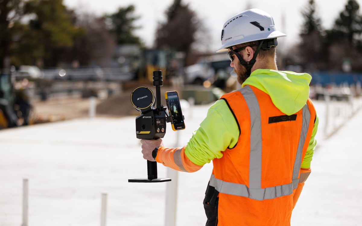
With this data in hand, WYDOT’s GIS team turned to Esri ArcGIS Pro software to integrate the research into a practical tool for real-time monitoring and decision-making. They combined live meteorological data with detailed roadway characteristics, creating a system that can issue targeted alerts to specific vehicle types when dangerous conditions are detected. The use of lidar technology and road surveys enhanced the accuracy of the system, ensuring that even subtle factors like road cant angles (which influence vehicle stability) are accounted for.
Real-Time Alerts and Dynamic Closures
One of the most innovative aspects of the new system is its ability to differentiate closures based on vehicle weight. Instead of issuing blanket closures for all high-profile vehicles, the system now allows for more precise restrictions, such as banning only vehicles under 40,000 lbs. in certain conditions. This approach not only improves safety but also reduces unnecessary disruptions for drivers of heavier, more stable vehicles.
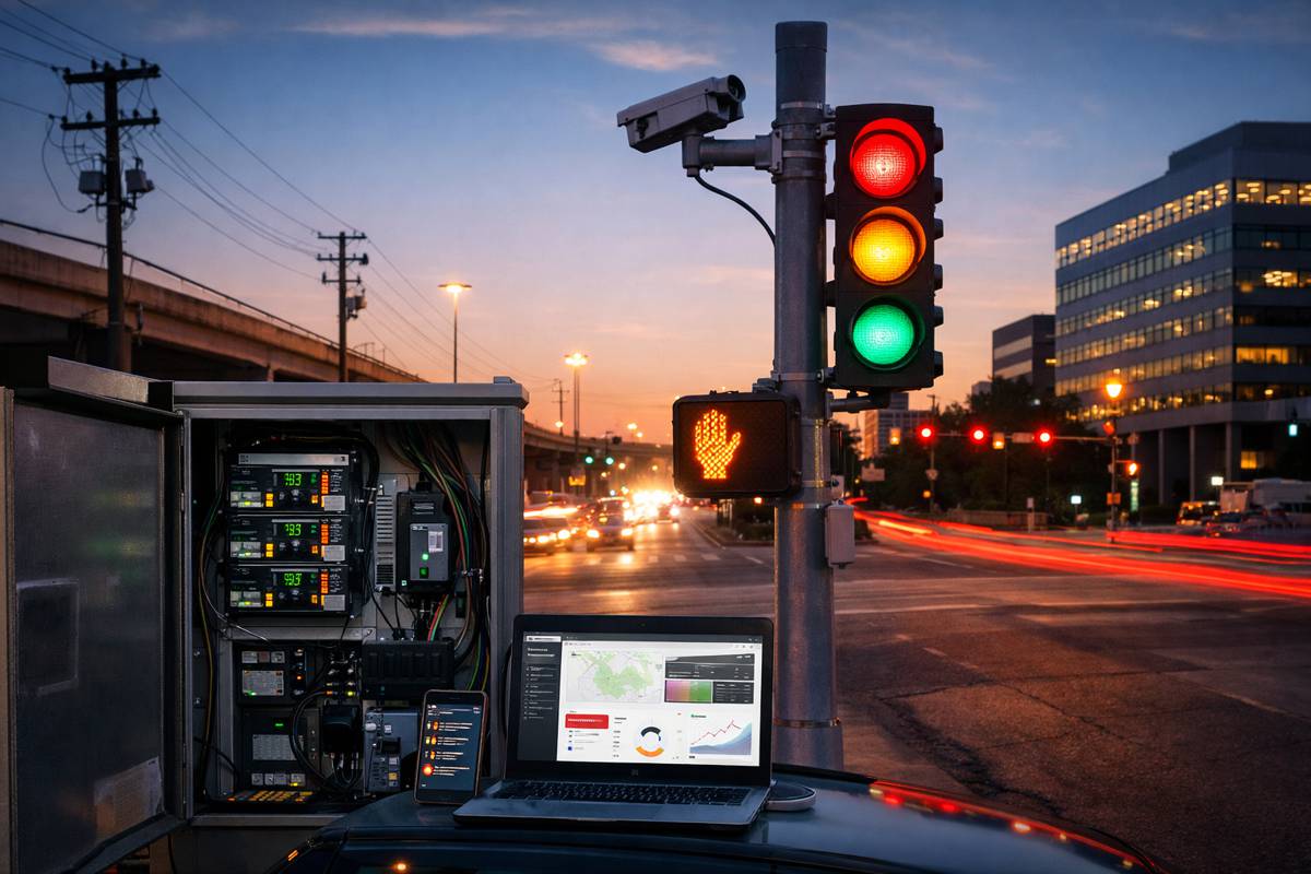
The Transportation Management Center (TMC) at WYDOT now has the capability to update road status and closure information within 15 minutes of weather changes. This data is shared through a variety of channels, including roadside message boards, a commercial vehicle operator portal, and even in-vehicle alerts, thanks to WYDOT’s integration with the 2015 I-80 Commercial Vehicle Pilot Data Exchange (SDX) system. The latter delivers real-time updates directly to drivers, covering large geographical areas with minimal infrastructure.
The messaging has also evolved, offering more detailed information tailored to specific vehicles and conditions. Future plans include the development of a self-assessment tool where drivers can input their vehicle specifications and receive personalized guidance on which routes are safe to take.
Enforcement and Encouraging Compliance
Of course, even the most sophisticated warning system is only as effective as the drivers who heed it. WYDOT has worked closely with the Wyoming Trucking Association to ensure that the new rules are understood and respected, but enforcement remains a critical component. The state legislature has already passed stricter penalties for violations, increasing fines and introducing harsher consequences for repeat offenders. Under the new regime, first-time offenders face a fine of up to $1,000 and a potential 30-day jail sentence, while a second offense within three years could result in a $2,500 fine and possible license revocation.
These measures, paired with the real-time alerts, have had a noticeable impact. Between October 2023 and February 2024, only seven blow-over incidents were reported, down significantly from previous years. Importantly, five of those crashes involved drivers who ignored the warnings, underscoring the need for robust enforcement.
The Road Ahead: Expanding the Model
While the early results are promising, WYDOT acknowledges that more data is needed to fine-tune the system. “From an engineering perspective, we need a couple more years’ data to see how effective this has been—that, and the new enforcement legislation in place,” said Vince Garcia, GIS/ITS/TMC program manager at WYDOT. The agency is also exploring collaborations with neighbouring states that face similar challenges, with the goal of sharing insights and potentially expanding the system’s coverage.
As the system evolves, WYDOT is considering adjustments to improve accuracy further. This could include refining wind direction increments or incorporating additional spatial variables, such as vehicle height relative to the road surface. The hope is that these refinements will lead to even more effective interventions and fewer accidents.
A Safer Future for Wyoming’s Highways
Wyoming’s swift and innovative response to the problem of truck blow-overs serves as a model for how data-driven solutions can tackle even the most entrenched safety challenges. By combining cutting-edge research, GIS technology, and strategic partnerships, WYDOT has created a system that not only addresses the root causes of these dangerous incidents but also adapts to the dynamic conditions that make Wyoming’s highways so challenging.
As the results continue to come in, the state is setting a new standard for how transportation agencies can leverage spatial data and real-time analytics to make roads safer for everyone. The success of this initiative could well inspire similar efforts across the country, helping to ensure that as our roads get busier and the weather more unpredictable, we have the tools to keep drivers safe and freight moving.


