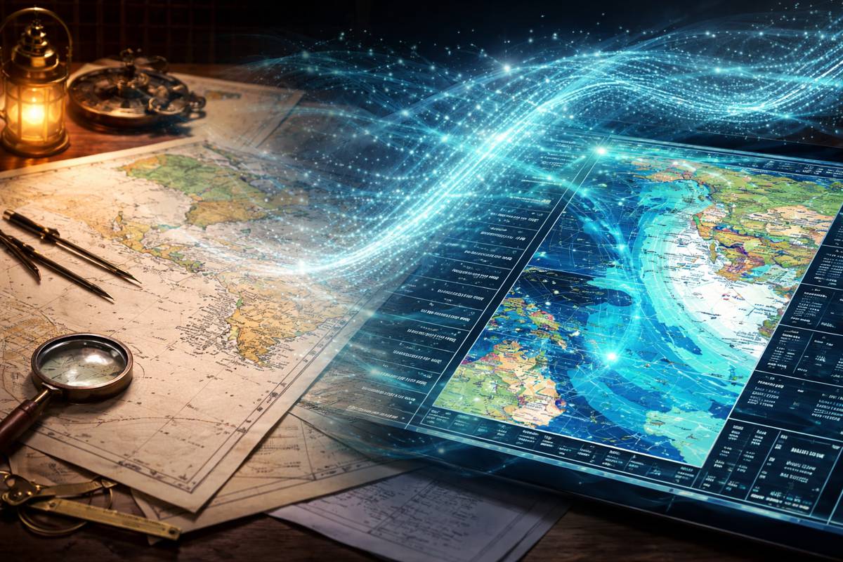
Automating Nautical Charts and Maritime Safety Digital Workflows
The quiet digitisation of maritime chart production rarely makes headlines, yet it underpins everything from naval readiness and port construction to offshore energy and global trade. When a national hydrographic authority changes how it produces its official charts, the implications ripple far beyond cartography. That is precisely what has happened with the decision by France’s hydrographic authority to automate the production of all its paper nautical charts, marking a decisive shift in how safety critical maritime information is created, validated and delivered.
For decades, paper charts have remained a regulatory cornerstone of maritime navigation, even as digital navigation systems have become ubiquitous on bridges and in fleet operations centres. The challenge has never been about digital capability alone. It has been about trust, compliance and reproducibility at national defence and international safety levels. By proving that fully automated chart production can meet the exacting standards of a major naval authority, this move sets a precedent with global relevance for ports, coastal infrastructure planners, defence organisations and maritime administrations alike.
Why Automated Chart Production Matters Beyond Navigation
At first glance, the production of nautical charts may appear niche. In reality, it is foundational to infrastructure planning, offshore construction, dredging, subsea cable installation and the safe operation of maritime transport corridors. Every quay wall, wind farm foundation and shipping lane relies on authoritative hydrographic data that has traditionally been transformed into paper charts through labour intensive, manual workflows.
Automation changes that equation. It compresses production cycles, reduces human error and ensures that updates to underlying datasets can flow more rapidly into operational products. For infrastructure developers and port authorities, that means faster access to current seabed information and navigational constraints. For defence and coastguard agencies, it means consistency across fleets and reduced dependency on artisanal processes that are increasingly hard to scale or staff.
In a sector facing growing pressure from climate change impacts, shifting coastlines and rising maritime traffic, the ability to produce regulation compliant charts quickly and reliably is not a convenience. It is becoming a necessity.
A National Hydrographic Office Sets a New Benchmark
France’s decision is significant not because automation is new, but because of who is adopting it and under what conditions. The Shom, formally known as the French Hydrographic and Oceanographic Office, carries national responsibility for providing authoritative maritime data to both civilian and military users. Its charts are relied upon by the French Navy and are subject to some of the most demanding safety and quality standards in the world.
After a year long evaluation process, Shom confirmed that charts generated through Esri’s Custom Chart Builder met those standards without the need for manual intervention. That endorsement is more than technical approval. It represents institutional confidence that automated workflows can deliver the same operational assurance as traditional methods, while dramatically improving efficiency.
“This adoption demonstrates that high-quality, regulation-compliant paper charts can now be produced without manual intervention, dramatically reducing production time and cost,” said Rafael Ponce, Esri principal maritime consultant. “Shom’s endorsement validates Esri’s CCB as a trusted solution for hydrographic offices worldwide, supporting the transition to digital-first workflows and e-navigation.”
From Electronic Data to Certified Paper Charts
At the heart of the transformation is the ability to automatically generate paper charts from Electronic Navigational Charts, or ENCs. ENCs already form the backbone of modern navigation systems and are continuously updated as new surveys, notices to mariners and environmental data become available. Historically, converting those datasets into printed charts has required skilled cartographers to apply symbology, generalisation rules and compliance checks by hand.
Custom Chart Builder changes that relationship. It applies predefined cartographic rules and national symbology standards directly to ENC data, producing paper charts that are both consistent and certifiable. For Shom, this included the development of customised symbology aligned with French naval requirements, ensuring no operational compromises were introduced by automation.
“Thanks to Esri’s Custom Chart Builder, Shom has modernized its chart production workflow without compromising safety,” said Nicolas David, chief of the Cartographic Department at Shom, who led the testing programme. “The CPENC provided by Shom does not present any significant differences compared to conventional nautical charts.”
That statement carries weight in a domain where even minor inconsistencies can have serious consequences.
Efficiency Gains with Strategic Consequences
The immediate benefits of automation are clear. Reduced production time lowers operational costs and allows hydrographic offices to redirect skilled staff towards higher value activities. In Shom’s case, this includes accelerating work on next generation digital products aligned with the International Hydrographic Organization’s S-100 framework.
The longer term implications are arguably more important. As maritime infrastructure projects increase in complexity and scale, the demand for accurate, up to date hydrographic information will only grow. Automated chart production supports a more responsive information supply chain, ensuring that changes in seabed conditions, port layouts or navigational hazards are reflected rapidly in both digital and paper formats.
For investors and policymakers, this capability strengthens the resilience of maritime infrastructure systems. It reduces bottlenecks in regulatory processes and supports safer, more predictable project delivery in coastal and offshore environments.
Balancing Legacy Requirements with Digital Futures
Despite the rapid adoption of digital navigation tools, paper charts remain mandatory in many jurisdictions and operational contexts. Naval vessels, training institutions and certain commercial operators continue to rely on them as a trusted backup and planning medium. Any transition to digital first workflows must therefore accommodate legacy requirements without creating parallel inefficiencies.
Esri’s Custom Chart Builder is positioned precisely at that intersection. By automating paper chart production while freeing capacity to focus on digital services, it enables hydrographic offices to serve today’s needs without delaying tomorrow’s innovations. This balance is particularly relevant as agencies prepare for broader adoption of S-100 based products, which promise richer, more dynamic maritime data services.
Recognition and Knowledge Sharing Across the Sector
The significance of Shom’s achievement has not gone unnoticed. Esri recognised the project with a Special Achievement in GIS Award at the 2025 Esri User Conference, highlighting its relevance beyond national borders. Discussions are already underway to integrate Shom’s configurations into future releases of Custom Chart Builder, extending the benefits to other hydrographic offices seeking similar efficiencies.
Shom has also indicated its intention to share its FME based developments and expertise, reinforcing a collaborative approach to maritime digital transformation. In a sector where duplication of effort has long been a challenge, this openness could accelerate adoption globally and establish more consistent standards across national boundaries.
Implications for Construction, Energy and Coastal Policy
Reliable nautical charts underpin far more than navigation. Coastal infrastructure planning, offshore wind development, subsea construction and environmental protection all depend on authoritative hydrographic data. By modernising how that data is transformed into operational products, hydrographic offices strengthen the information backbone of the blue economy.
For construction and infrastructure professionals, faster access to certified chart products reduces uncertainty during planning and execution. For policymakers, it supports evidence based decision making on coastal management, climate adaptation and marine spatial planning. And for defence and security stakeholders, it reinforces confidence in the integrity of mission critical navigation tools.
In that sense, the automation of chart production is not merely a technical upgrade. It is a structural improvement to the maritime information ecosystem that supports safer seas and more resilient infrastructure worldwide.
A Quiet but Defining Shift in Maritime Practice
Transformations in infrastructure rarely arrive with fanfare. They unfold through careful validation, institutional trust and incremental adoption. The move by Shom to automate its paper chart production fits that pattern, yet its significance should not be underestimated.
By proving that automation can meet the highest safety and regulatory standards, it challenges long held assumptions about the limits of digital workflows in critical maritime functions. It also signals a future where hydrographic offices can operate with greater agility, focus on innovation and better support the complex demands of modern maritime infrastructure.
For an industry navigating rising seas, expanding offshore development and ever denser shipping lanes, that shift could not be more timely.