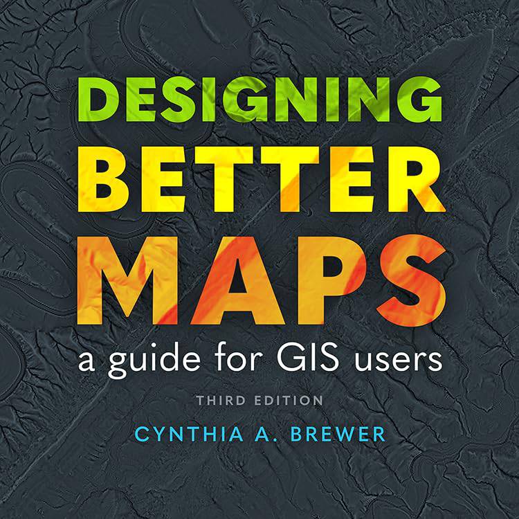
Esri releases Third Edition of the beloved Designing Better Maps Guide
When it comes to making maps that aren’t just functional but also a pleasure to behold, Esri knows a thing or two—or maybe three. With the release of the third edition of ‘Designing Better Maps: A Guide for GIS Users,’ Esri brings cartographers, GIS professionals, and map enthusiasts an updated version of what’s become a classic in the world of cartography.
Authored by the renowned Cynthia A. Brewer, this guide has been a faithful companion to mapmakers for nearly two decades, and its latest edition looks to continue that legacy, keeping pace with advances in design and technology.
The big question is: what’s new in this version, and why should you care? Let’s dig in.
A Deeper Dive into the Art and Science of Mapping
Cynthia A. Brewer, an award-winning cartography expert, has brought together years of academic insight, collaboration, and hands-on experience with major agencies to produce a book that goes beyond the technicalities of GIS. This is not just about plotting points and connecting the dots—it’s about making maps that tell a story, communicate effectively, and even evoke an emotional response.
Brewer’s approach to mapping has always blended art and science, and this third edition pushes that ethos even further. There are over 400 full-colour illustrations that bring concepts to life, making it easy to understand what makes a map great. Whether you’re using maps for government, creative projects, academia, or commercial purposes, this guide offers insights that are practical and inspiring in equal measure.
More Than Just an Update
The latest edition includes new and enhanced sections focusing on updated design practices. Here are some of the highlights:
- Improved Guidance on Basemaps and Scale: This edition puts a spotlight on the importance of choosing the right basemap and scale, helping readers to avoid common pitfalls that can undermine the effectiveness of their maps.
- Expert Tips on Time and Spatial Representation: Modern mapping is as much about when as it is about where. Brewer includes detailed discussions on the representation of time in spatial data, a particularly crucial element in disaster response mapping and historical analysis.
- Typography and Labels with a Designer’s Touch: It’s often said that a map is only as good as its labelling, and Brewer takes this maxim to heart. Expect expert advice on type and labels, complete with colour suggestions that enhance readability without overpowering the data.
- Custom Symbols and Storytelling: Map symbols are like a visual language, and this guide includes a full section on creating and customising symbols for better storytelling. This gives even the most data-driven maps a human touch.
For long-time fans of ‘Designing Better Maps,’ this edition is both a welcome update and a fresh take, adding layers of nuance that reflect how mapping has evolved since the first edition hit the shelves.
Who Is Cynthia A. Brewer?
When someone says they’ve helped design maps for the likes of the US Census Bureau, US Geological Survey, and National Park Service, you sit up and take notice. That someone is Cynthia A. Brewer, who combines a wealth of academic research with hands-on experience in major projects across the public sector. Brewer also serves as a professor at Pennsylvania State University, where she teaches cartography and advises budding GIS professionals.
In 2023, she was awarded the Carl Mannerfelt Gold Medal by the International Cartographic Society, recognising her immense contributions to cartography. Brewer’s knack for teaching, mentoring, and practical collaboration has infused ‘Designing Better Maps’ with real-world relevance and technical depth that many other guides just don’t achieve.
The Need for Good Cartography Has Never Been Greater
Maps have long been tools of power and persuasion. In today’s data-rich world, they’re also vital for clear communication. Poorly designed maps can obscure critical information, leading to confusion or even misinformation—an outcome nobody can afford. Cynthia Brewer’s guide offers an antidote to this problem.
For professionals in urban planning, construction, disaster response, and environmental management, good mapping is not optional; it’s essential. Brewer’s emphasis on clarity and aesthetics ensures that maps not only convey information effectively but also engage their audiences, which is crucial when maps are used for decision-making or public dissemination.
Breaking Down ‘Designing Better Maps’: What’s Inside?
The book has something for everyone—from beginners just getting started with GIS to experienced cartographers looking to sharpen their design skills. Here’s a sneak peek at what readers can expect:
- Planning Your Map: Brewer delves into the importance of planning before a single point is plotted. What story are you telling? Who is your audience? Answering these questions is crucial to creating an effective map.
- Understanding Colour Choices: The book covers the full spectrum of colour theory as it applies to GIS. Brewer discusses everything from the psychological impact of colours to their functional use in differentiating map features.
- Sharing and Publishing: Today’s cartographers need to think about more than just the print version of their maps. Brewer includes a section dedicated to publishing maps online, including tips on interactive features and best practices for digital design.
For those wondering whether it’s worth picking up the new edition—especially at a price tag of $84.99 for both paperback and eBook formats—the answer is a resounding yes. The improvements go beyond simple updates; they represent a thoughtful expansion of what cartography can achieve in our interconnected, data-driven world.
Why Esri Is the Go-To Name in GIS
Esri isn’t just any company in the GIS sector; it’s the leader. Founded in 1969 in Redlands, California, Esri has been pioneering solutions that leverage geographic information to solve complex problems for decades. From Fortune 500 companies to government agencies, Esri’s software has been helping organisations unlock insights and make informed decisions.
Esri’s commitment to advancing the field is evident not only in its technology but also in its educational resources. ‘Designing Better Maps’ is one of many tools Esri provides to ensure that professionals have access to the very best guidance in their work. By investing in both technology and education, Esri ensures that the geographic approach remains at the forefront of problem-solving worldwide.
Why This Matters for Construction, Urban Development, and Policy Makers
Maps are fundamental to the planning and development sectors. The construction industry, for instance, relies heavily on accurate geospatial data for site selection, planning, and resource management. A poorly designed map can lead to misinterpretation of data, delays, and costly mistakes.
For policy makers, the story doesn’t end there. Maps are used to communicate complex information to the public, whether it’s about new infrastructure projects, zoning changes, or environmental initiatives. Brewer’s guide helps professionals ensure their maps are both informative and accessible, crucial for gaining public support and understanding.
Urban developers also use maps to communicate plans, propose zoning, and collaborate with different stakeholders. ‘Designing Better Maps’ provides the tools to create visual representations that make it easier for different groups to understand the nuances of urban projects.
A Must-Have for Every Map Enthusiast
‘Designing Better Maps: A Guide for GIS Users‘ isn’t just a technical manual; it’s a roadmap for making better maps—maps that communicate effectively, resonate with viewers, and stand the test of time. With Brewer’s updated insights and Esri’s commitment to the latest mapping technology, this third edition is an essential resource for anyone working in the GIS space.
The book’s enduring appeal lies in its ability to bridge the gap between art and science. In a world overflowing with data, the importance of presenting that data clearly cannot be overstated. Whether you’re a construction professional, a policy maker, or simply someone with an interest in mapping, this guide is well worth your time.
Keep Learning, Keep Mapping
As geospatial technology continues to evolve, resources like ‘Designing Better Maps’ ensure that those working in the industry don’t just keep up—they lead. The third edition is packed with valuable insights that help both seasoned cartographers and newcomers create maps that make an impact.
So, pick up a copy, explore its pages, and keep pushing the boundaries of what maps can do.