


Airships Chart Helsinki’s Future with Geospatial Precision In August 2025, Helsinki took to the skies, no ...
-
Airships Chart Helsinki’s Future with Geospatial Precision

Airships Chart Helsinki’s Future with Geospatial Precision
-
Mapping the Future with Technical Insights on AI’s Impact

Mapping the Future with Technical Insights on AI’s Impact
-
Esri MX Launches as Mexico’s New Geospatial Innovation Hub
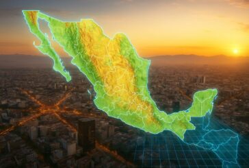
Esri MX Launches as Mexico’s New Geospatial Innovation Hub
-
Esri to Unveil AI-Powered ArcGIS Breakthroughs at GEOINT 2025

Esri to Unveil AI-Powered ArcGIS Breakthroughs at GEOINT 2025
-
ASCE and Esri Join Forces to Revolutionise Infrastructure Planning

ASCE and Esri Join Forces to Revolutionise Infrastructure Planning
-
GEO Business Unveils Dynamic Line-Up of Industry Speakers

GEO Business Unveils Dynamic Line-Up of Industry Speakers
-
Mapping the Future at Geo Connect Asia 2025

Mapping the Future at Geo Connect Asia 2025
-
Topcon Driving Construction Technology and Innovation at bauma

Topcon Driving Construction Technology and Innovation at bauma
-
Esri’s New Tool Paving the Way for Real-Time Road Closure Mapping

Esri’s New Tool Paving the Way for Real-Time Road Closure Mapping
-
Hexagon Plans to Spin Off Asset Lifecycle Intelligence Division

Hexagon Plans to Spin Off Asset Lifecycle Intelligence Division
-
Shaping a Climate-Resilient Future at the APAC Earth Observation Forum

Shaping a Climate-Resilient Future at the APAC Earth Observation Forum
-
Mastering Mobile GIS with Esri’s Latest Guide to the Rapidly Evolving Field

Mastering Mobile GIS with Esri’s Latest Guide to the Rapidly Evolving Field
-
Topcon and FARO Technologies Forge Strategic Alliance to Revolutionise Laser Scanning

Topcon and FARO Technologies Forge Strategic Alliance to Revolutionise Laser Scanning
-
Esri Unveils Content Store for ArcGIS to Revolutionise Geospatial Data

Esri Unveils Content Store for ArcGIS to Revolutionise Geospatial Data
-
Mapping the Future of Geospatial Innovation at Geo Connect Asia 2025

Mapping the Future of Geospatial Innovation at Geo Connect Asia 2025
-
Esri Developer and Technology Summit Elevating Geospatial Innovation

Esri Developer and Technology Summit Elevating Geospatial Innovation
-
Topcon and Pix4D Join Forces to Revolutionise Photogrammetry Solutions

Topcon and Pix4D Join Forces to Revolutionise Photogrammetry Solutions
-
Topcon Expands Topnet Live Network in the US
Topcon Expands Topnet Live Network in the US
-
TomTom and Esri Join Forces for Advanced Location Analytics

TomTom and Esri Join Forces for Advanced Location Analytics
-
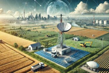
AI is Revolutionising GNSS Error Detection in Urban Landscapes

AI is Revolutionising GNSS Error Detection in Urban Landscapes