


Geo Week 2027 Moving to Salt Lake City to Accelerate Geospatial Innovation Geo Week’s decision to relocat ...
-
Geo Week 2027 Moving to Salt Lake City to Accelerate Geospatial Innovation
Geo Week 2027 Moving to Salt Lake City to Accelerate Geospatial Innovation
-
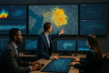
Kapsch TrafficCom Partners With TomTom To Power Intelligent Mobility

Kapsch TrafficCom Partners With TomTom To Power Intelligent Mobility
-
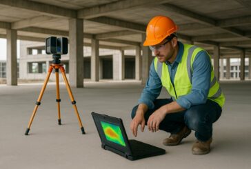
Topcon And GSSI Integrate Ground Penetrating Radar With GNSS Mapping
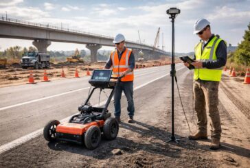
Topcon And GSSI Integrate Ground Penetrating Radar With GNSS Mapping
-
GEO Business 2026 Sets the Stage for Geospatial Leadership
GEO Business 2026 Sets the Stage for Geospatial Leadership
-
Automating Nautical Charts and Maritime Safety Digital Workflows
Automating Nautical Charts and Maritime Safety Digital Workflows
-
TomTom Redefines Lane-Level Mapping and ADAS

TomTom Redefines Lane-Level Mapping and ADAS
-
Esri’s New Book Outlines Geospatial Intelligence for Safer and Fairer Outcomes
Esri’s New Book Outlines Geospatial Intelligence for Safer and Fairer Outcomes
-
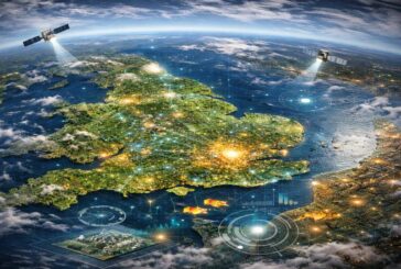
A New Global View Of The Built Environment

A New Global View Of The Built Environment
-
Looq AI Expands Global Partnerships to Accelerate Reality Capture
Looq AI Expands Global Partnerships to Accelerate Reality Capture
-
AI and Smarter Mapping to Transform Global Environmental Land Monitoring
AI and Smarter Mapping to Transform Global Environmental Land Monitoring
-
Mapping Sanitation Gaps in India Sparks Global Framework for Change

Mapping Sanitation Gaps in India Sparks Global Framework for Change
-
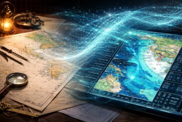
Mapping the Future with Technical Insights on AI’s Impact

Mapping the Future with Technical Insights on AI’s Impact
-
Bridging the Digital Divide in Maine with Smart Mapping and Community Outreach
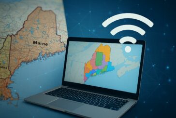
Bridging the Digital Divide in Maine with Smart Mapping and Community Outreach
-
Reclaiming Asia’s Rivers for People and Nature

Reclaiming Asia’s Rivers for People and Nature
-
Reimagining Cities in 3D with Geo-SETRA

Reimagining Cities in 3D with Geo-SETRA
-
Esri and Microsoft Join Forces to Usher in a New Era of AI Geospatial Intelligence
Esri and Microsoft Join Forces to Usher in a New Era of AI Geospatial Intelligence
-
AI is Transforming Foundation Levelling
AI is Transforming Foundation Levelling
-
Seeing the Flood Before It Hits with 3D Visualisations
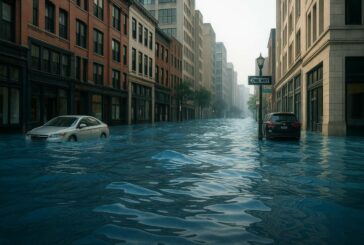
Seeing the Flood Before It Hits with 3D Visualisations
-
SYSTRA and TomTom Team Up to Revolutionise Transport Planning

SYSTRA and TomTom Team Up to Revolutionise Transport Planning
-
Pushing the Boundaries of Subsurface Intelligence With Halliburton EarthStar 3DX
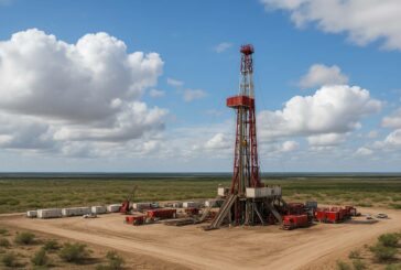
Pushing the Boundaries of Subsurface Intelligence With Halliburton EarthStar 3DX